|
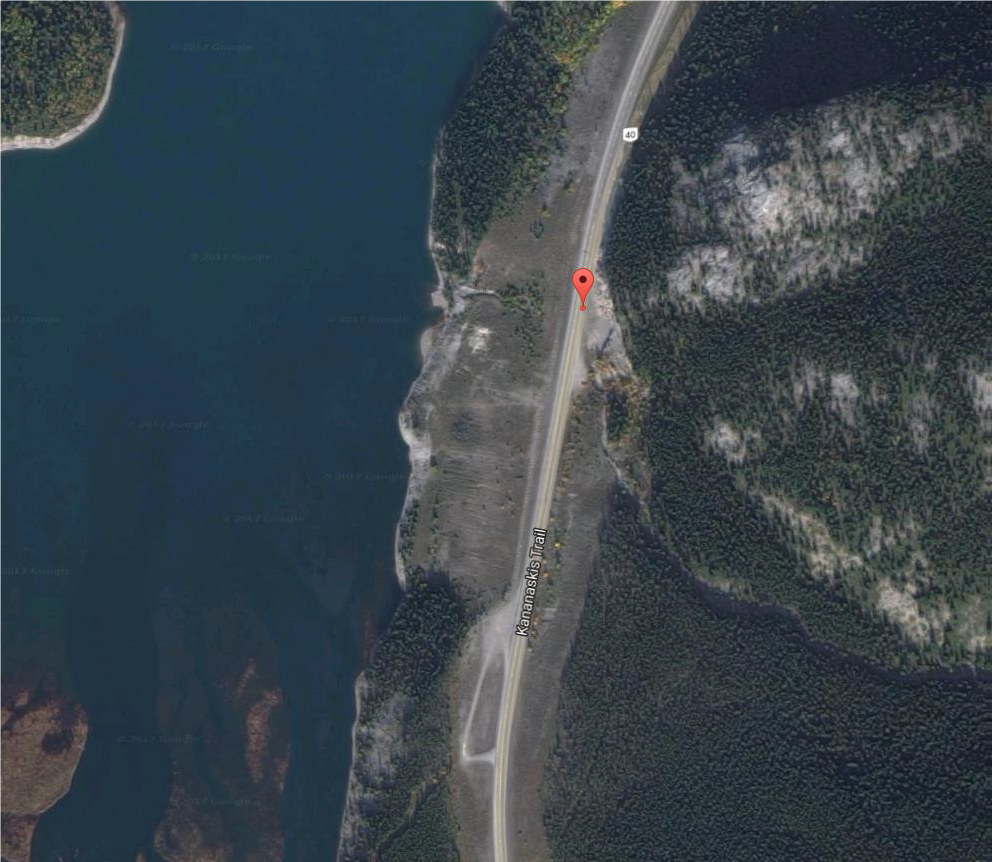
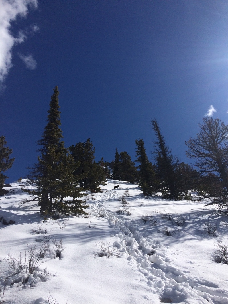
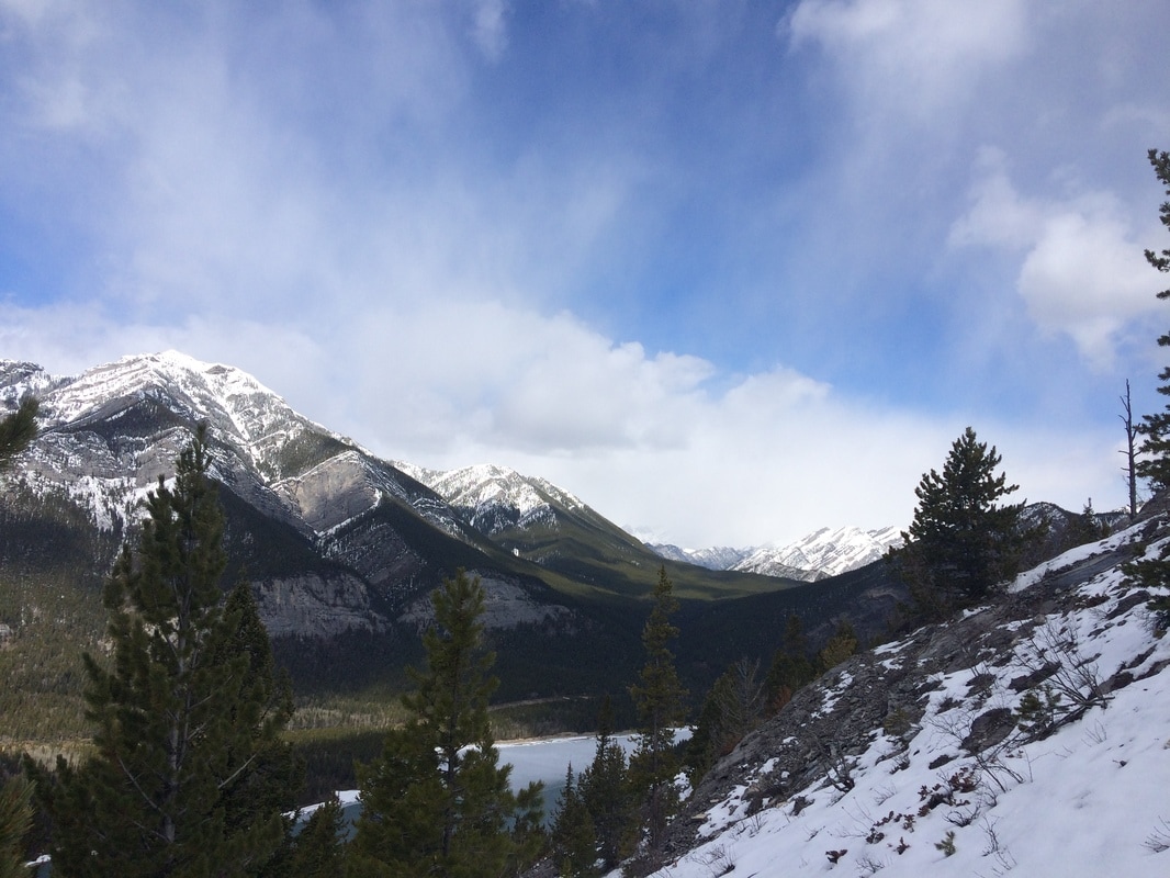
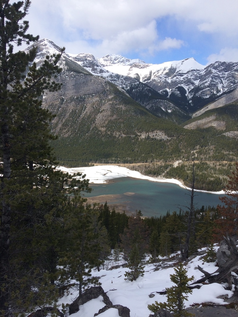
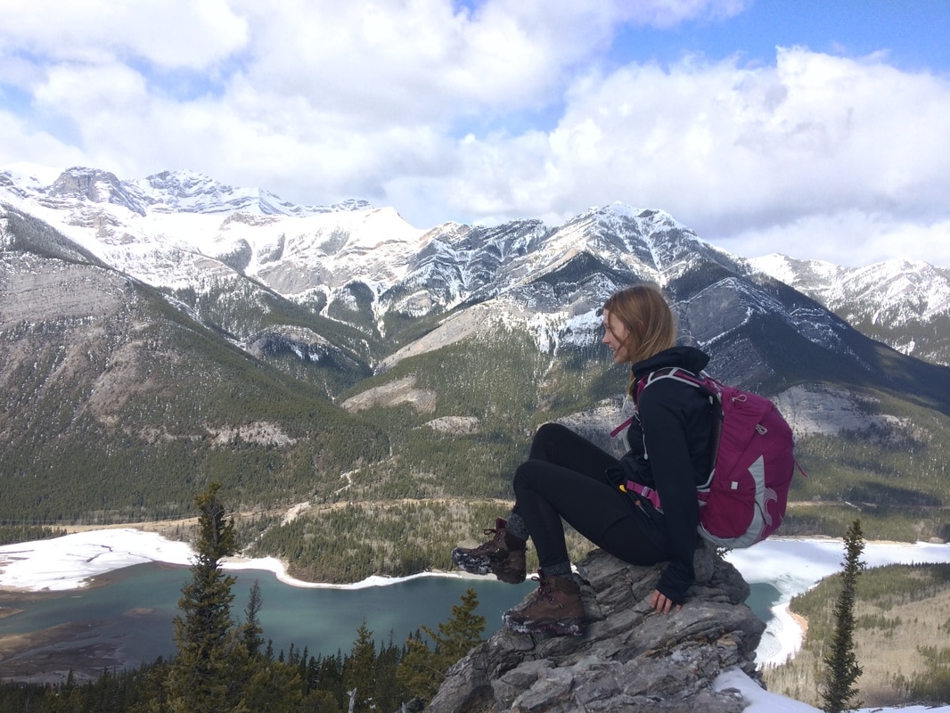
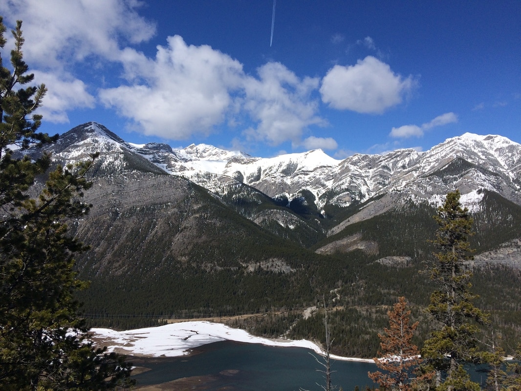
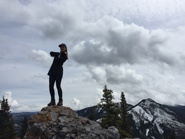
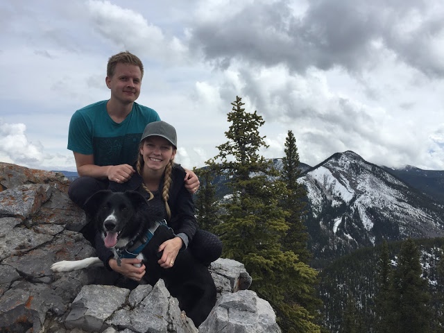
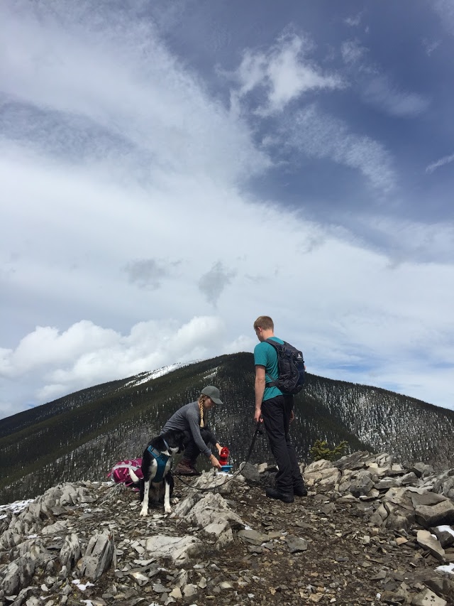
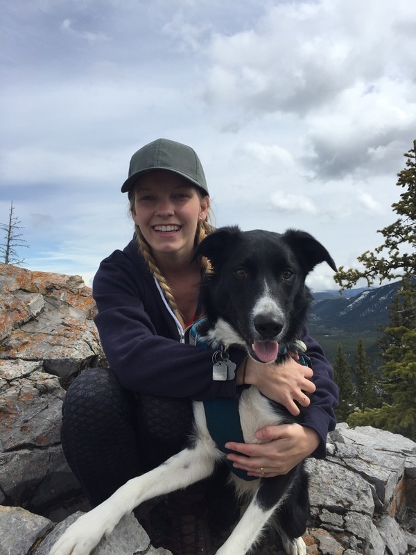
ELEVATION GAIN: 1030 meters DISTANCE: 7 km round trip 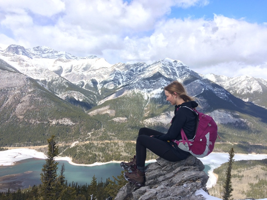 Another weekend, another trip to the mountains. Today, Wes and I hit the trail with intentions to Summit Mount Baldy. This is one of the first mountains you come upon on Hwy. 40 directly east of Barrier Lake. There are numerous starting points and routes up the mountain. For this reason, its hard for me to determine if the route we took up was the easiest. We parked at a small roadside turnout at the South end of Barrier Lake. We then walked along Hwy. 40 (heading north) for a few minutes until we reached the trail head (see map below; the red arrow indicates the trail head). This specific route takes a very direct route up the mountain. The trail is quite steep and we would have been lost without our hiking poles. We managed to hike up until we got to a point where we, unfortunately, had to turn around. The trail got a bit too hard for Bohdi to manage and we didn't want to risk having his paws sliced up by the ice and rock. That being said, we still got to take in some amazing views! From what I understand, the trail continues on to the first summit. Then, you can continue on the trail as it heads along the south ridge to a second summit. Though we didn't get there today, we will have to try again later this summer (perhaps leaving Bohdi at home next time). It took us 1.5 hours to climb approx. 700 meters. After that it took us an hour to get back to the car. Overall, I don't feel like I can really give this hike a fair review since we didn't get to finish it. Also, I feel like the distance and elevation gain on this one are approximate since there are so many routes. However, if you are up for a steep climb, the views are totally worth it. Plus, its only a 50 minute drive from Calgary so if your looking for something close its a good one to try.
0 Comments
ELEVATION GAIN: 353 meters DISTANCE: 4 km round trip
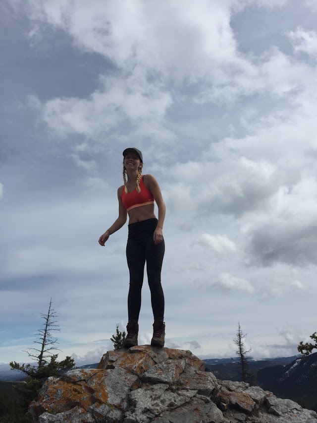
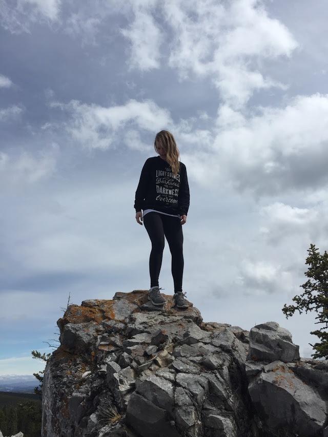
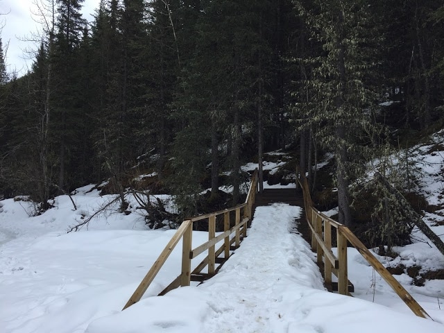
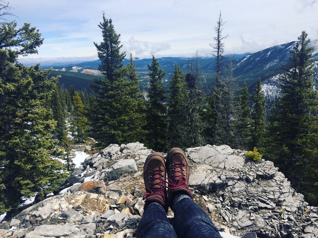
Thanks to my new favorite App - All Trails, I stumbled upon the White Buddha trail. We made our way to the Elbow Falls Day use area and parked near the winter gate (which opens mid-May). From there, we walked along the road to the Powderface staging area (on the north side of the highway). The trail is easy to find and is quite wide. Follow the Powderface Creek Trail for a while until you reach a bridge. After the bridge, continue for about 400 meters. You will see a trail on the right hand side that scurries up the mountainside. This is where the most strenuous part of the hike begins. Climb up the trail for approx. 15 short switchbacks. You'll know the switchbacks are done when you reach the base of the cliffs. This ridge looks amazing for rock climbing - we will definitely be returning. We followed the trail left, although we ended up having to forge our own trail to the top (I imagine in the summer months, it may be easier to find a trail). If your hiking in the snow or mud, I would recommend heading right once you get to the base of the cliff. This trail will lead you right to the summit. We had a nice lunch on the summit and enjoyed views of Prairie Mountain and the Elbow Valley. It took us a short 2.5 hours to complete the whole hike, with a break for lunch. |