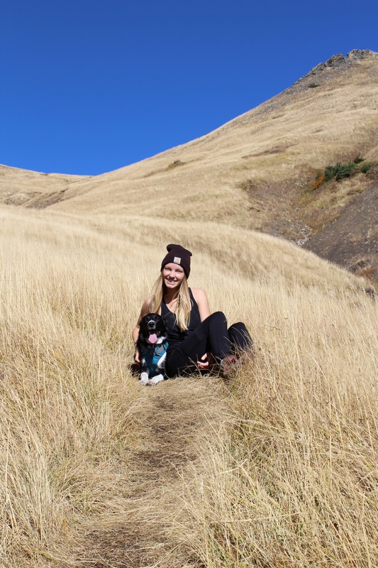
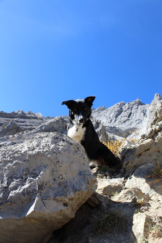
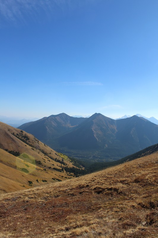
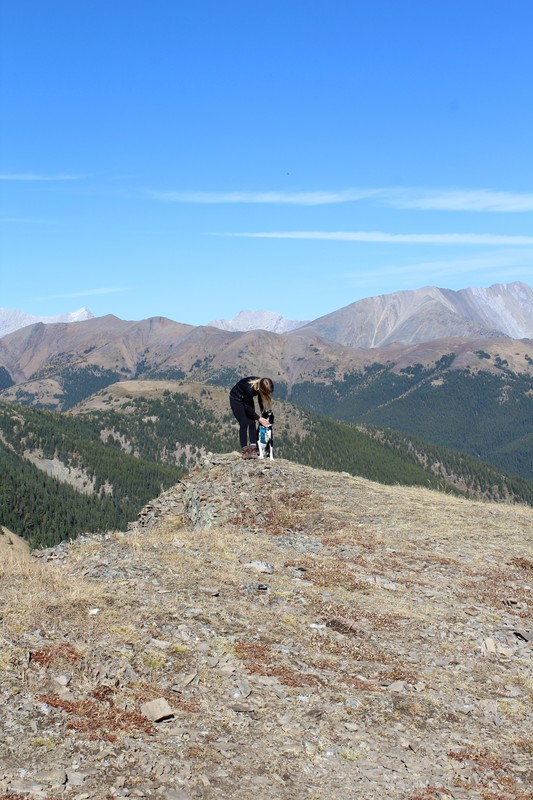
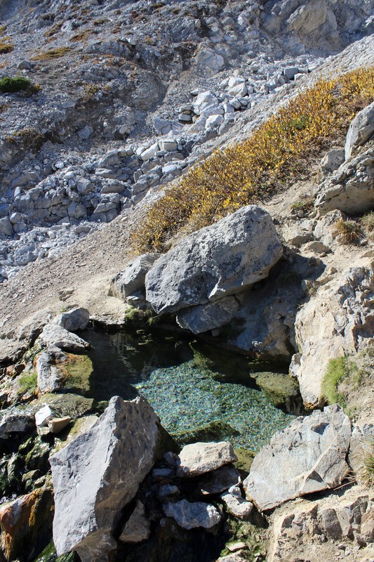
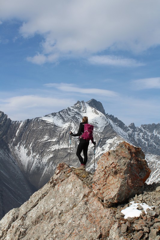
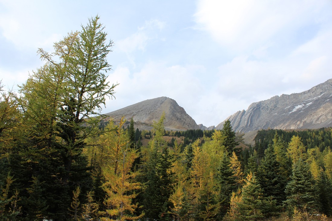
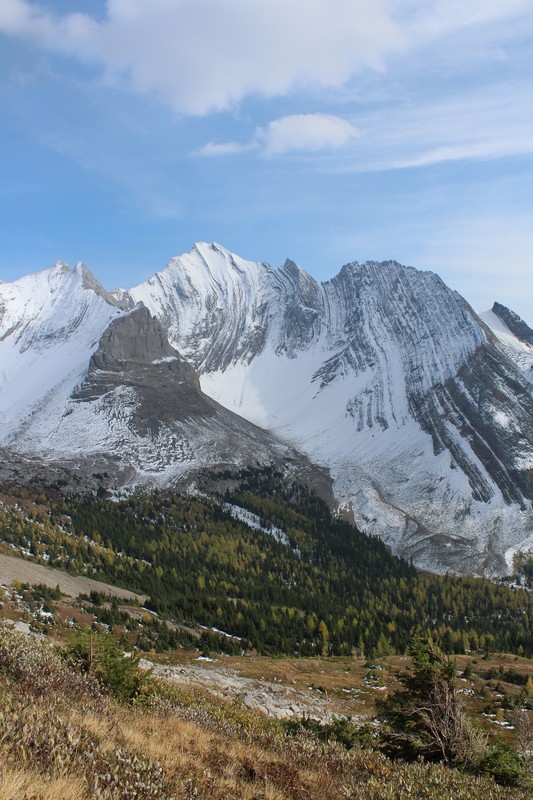
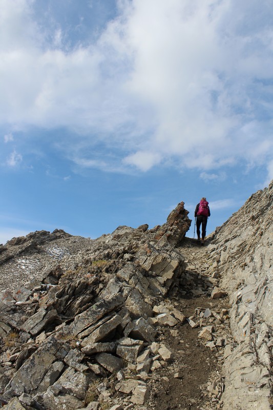
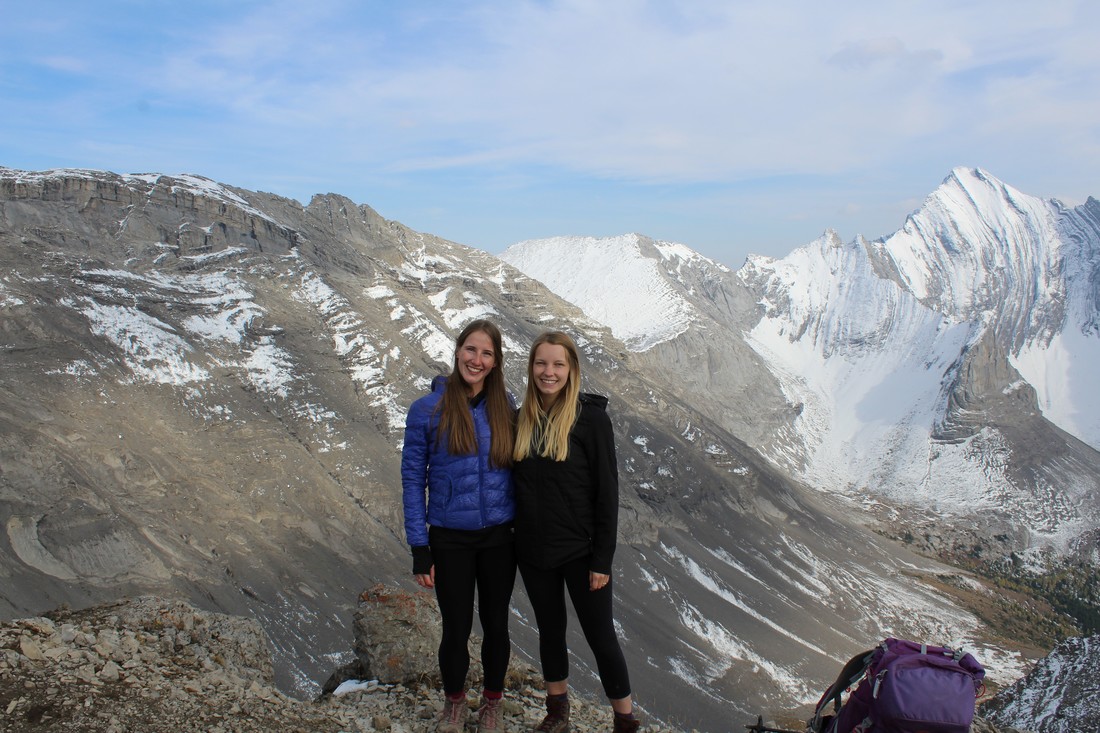
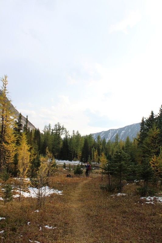
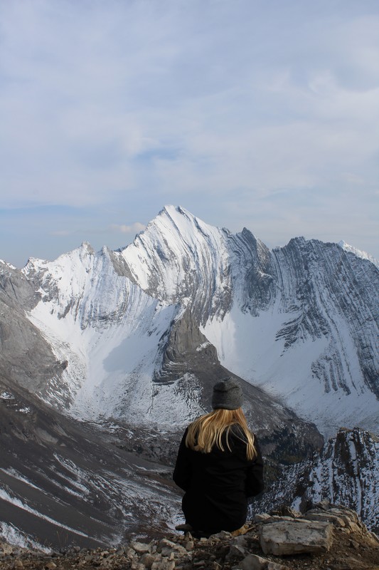
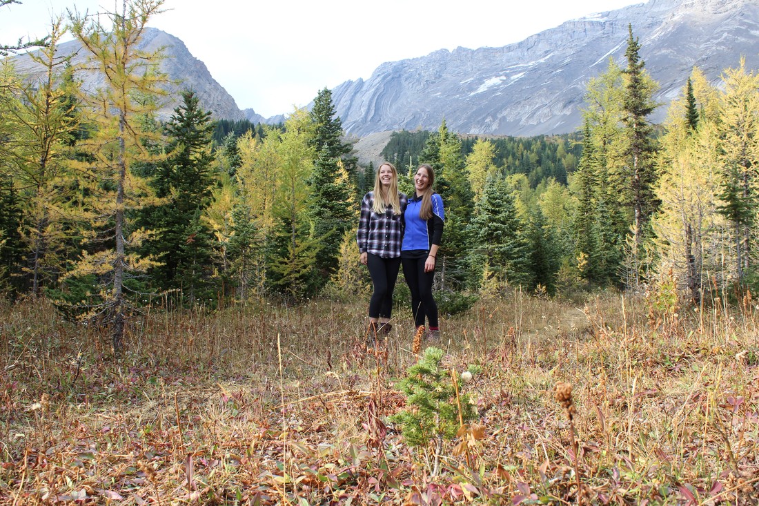
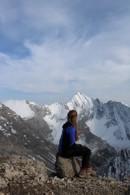
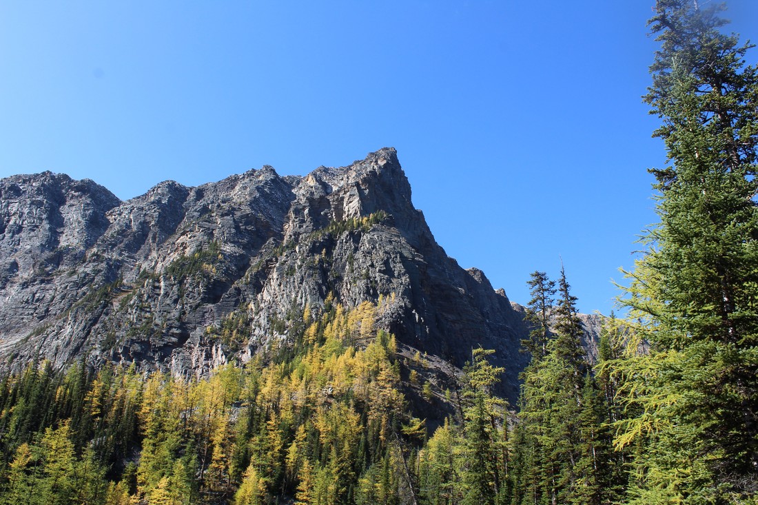
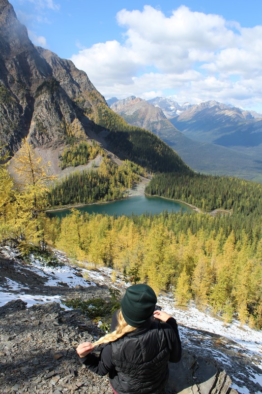
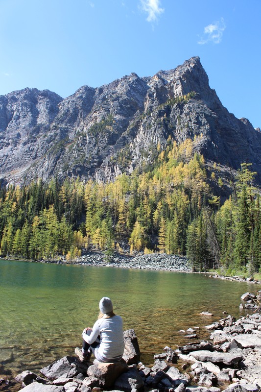
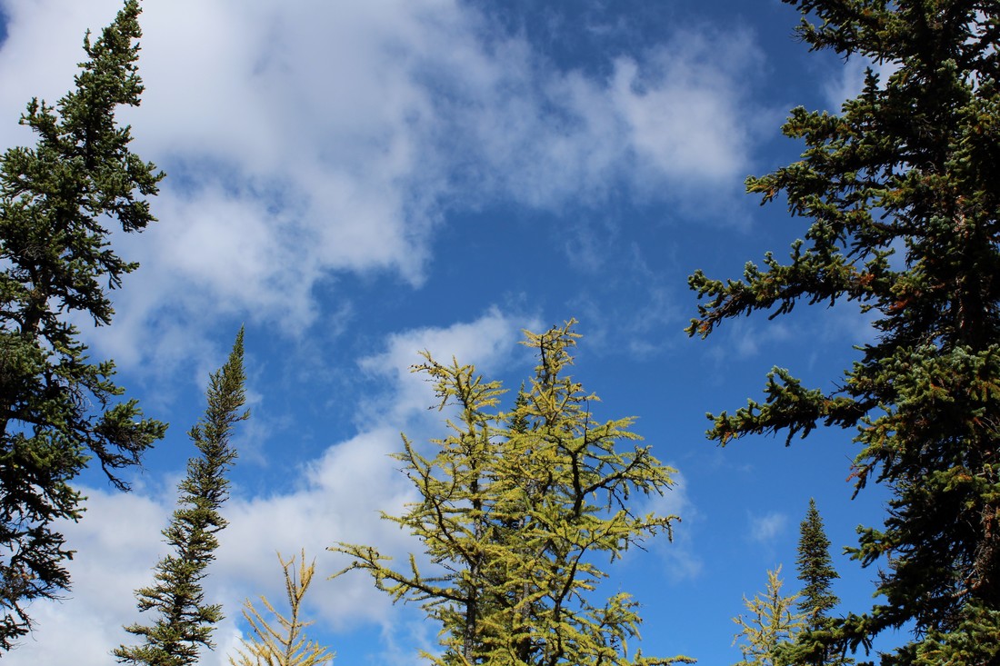
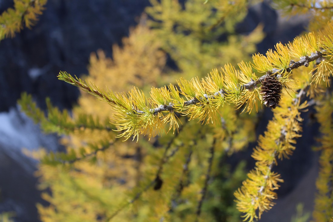
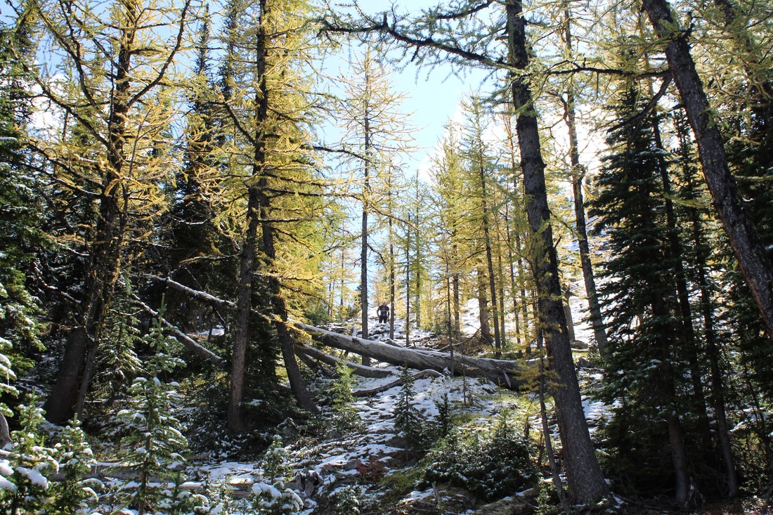
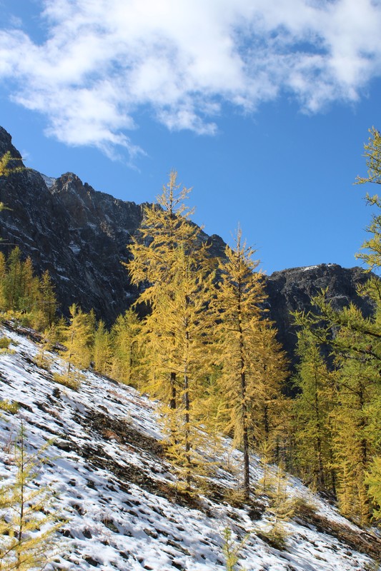
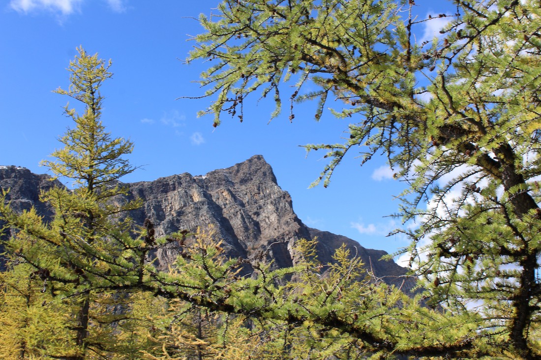
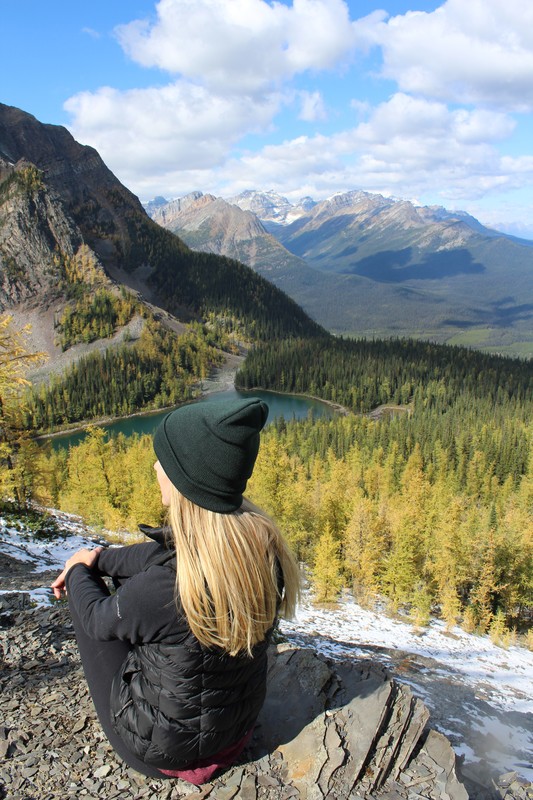
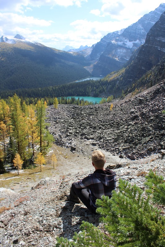
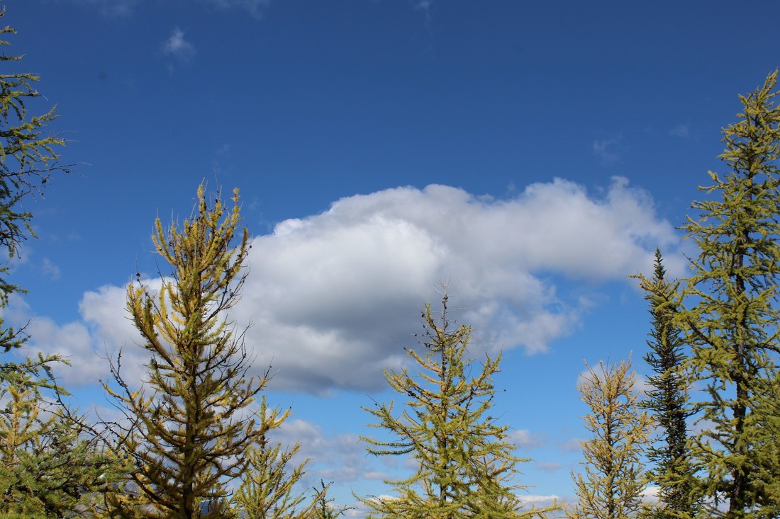
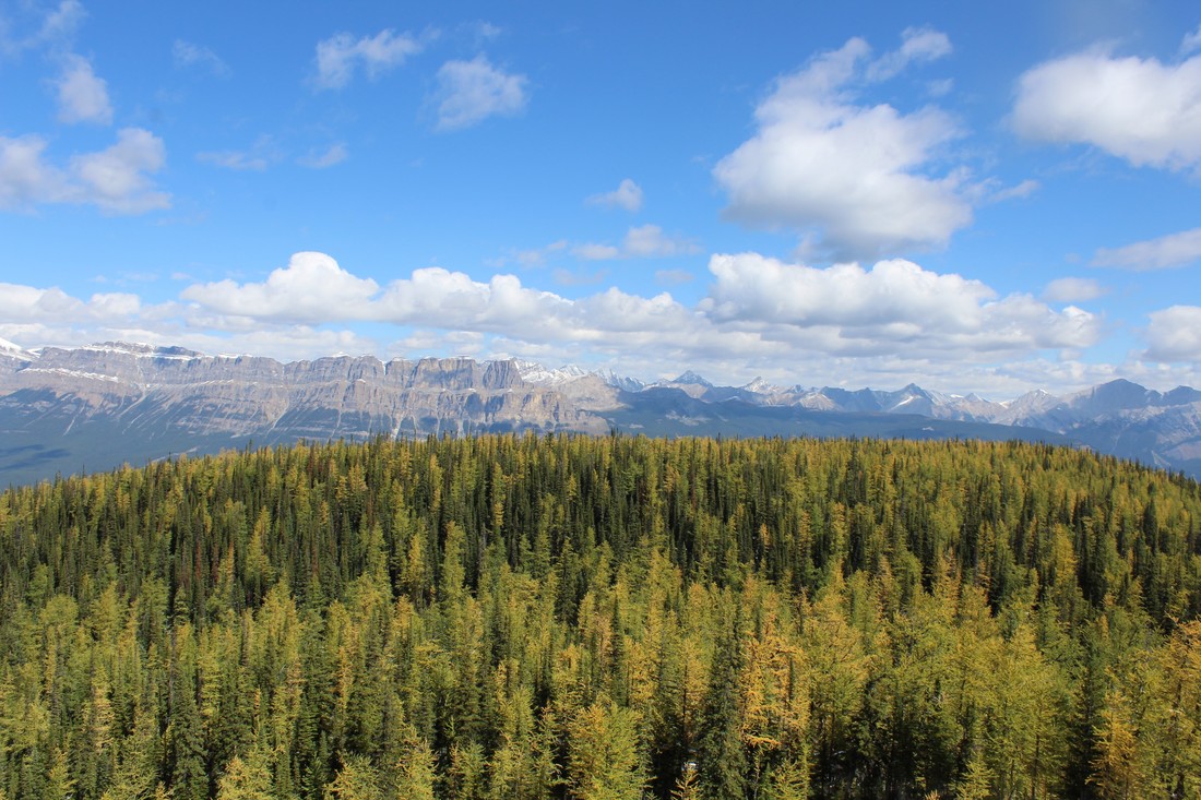
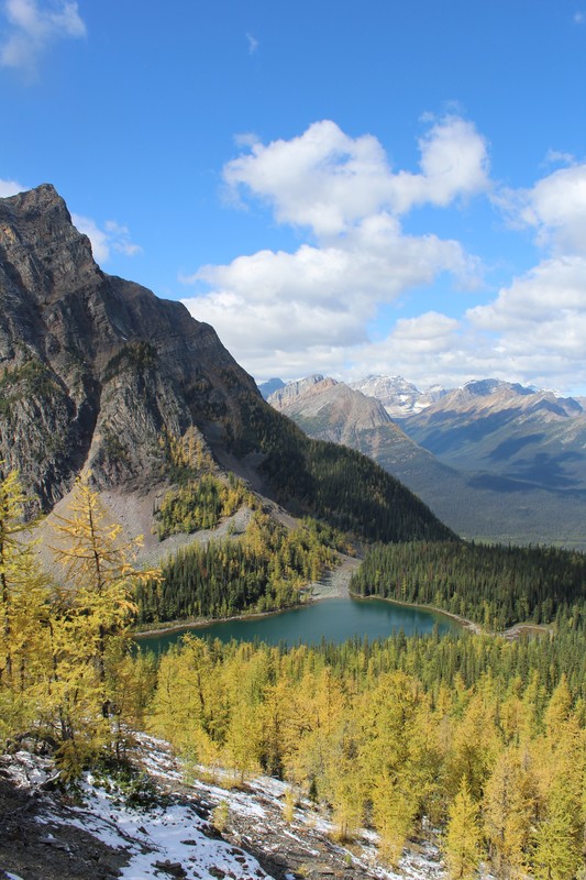
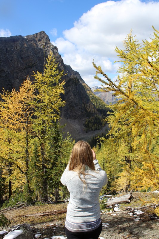
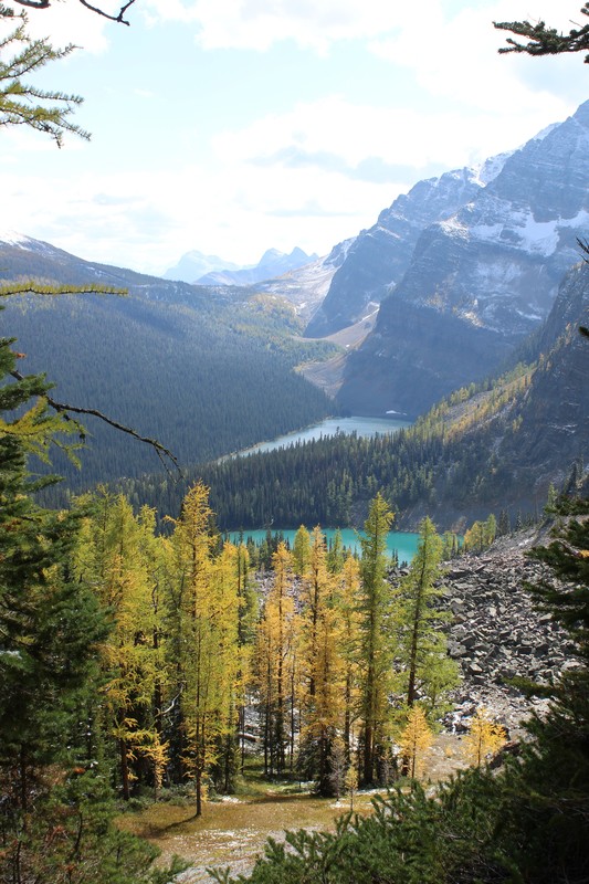
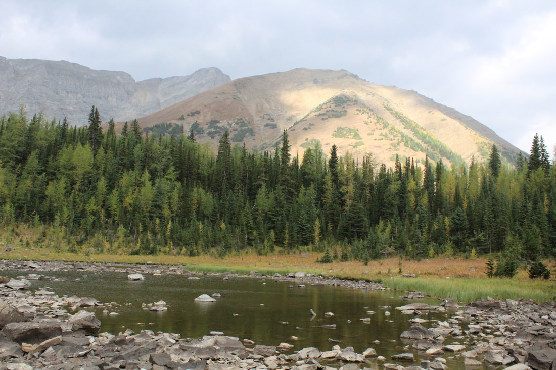
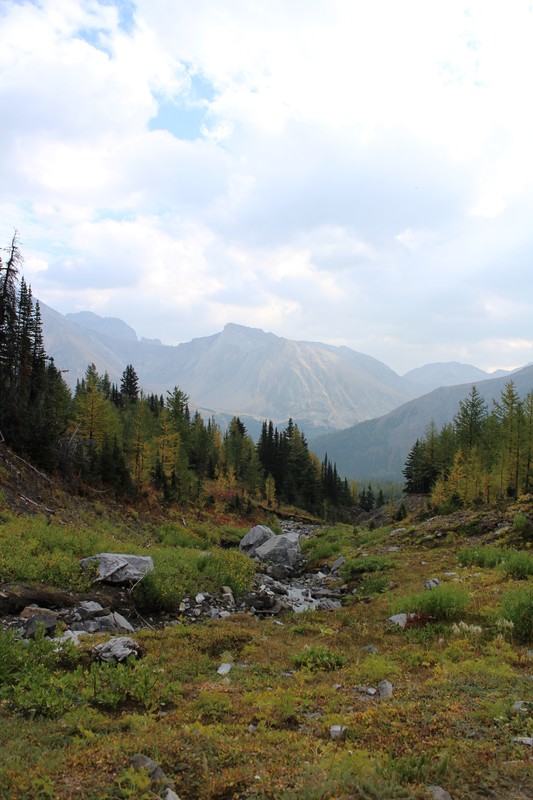
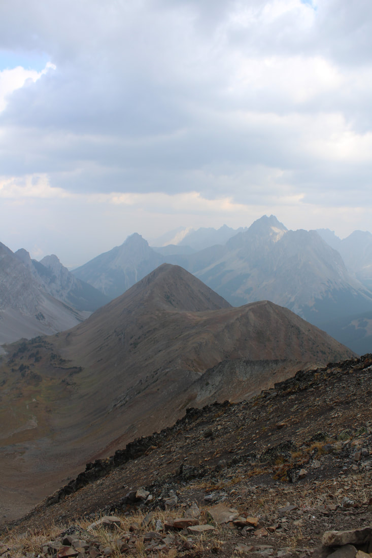
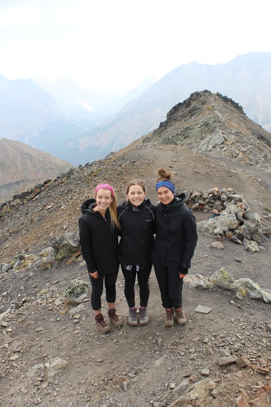
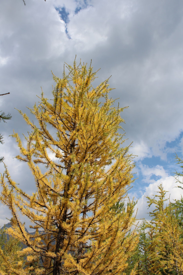
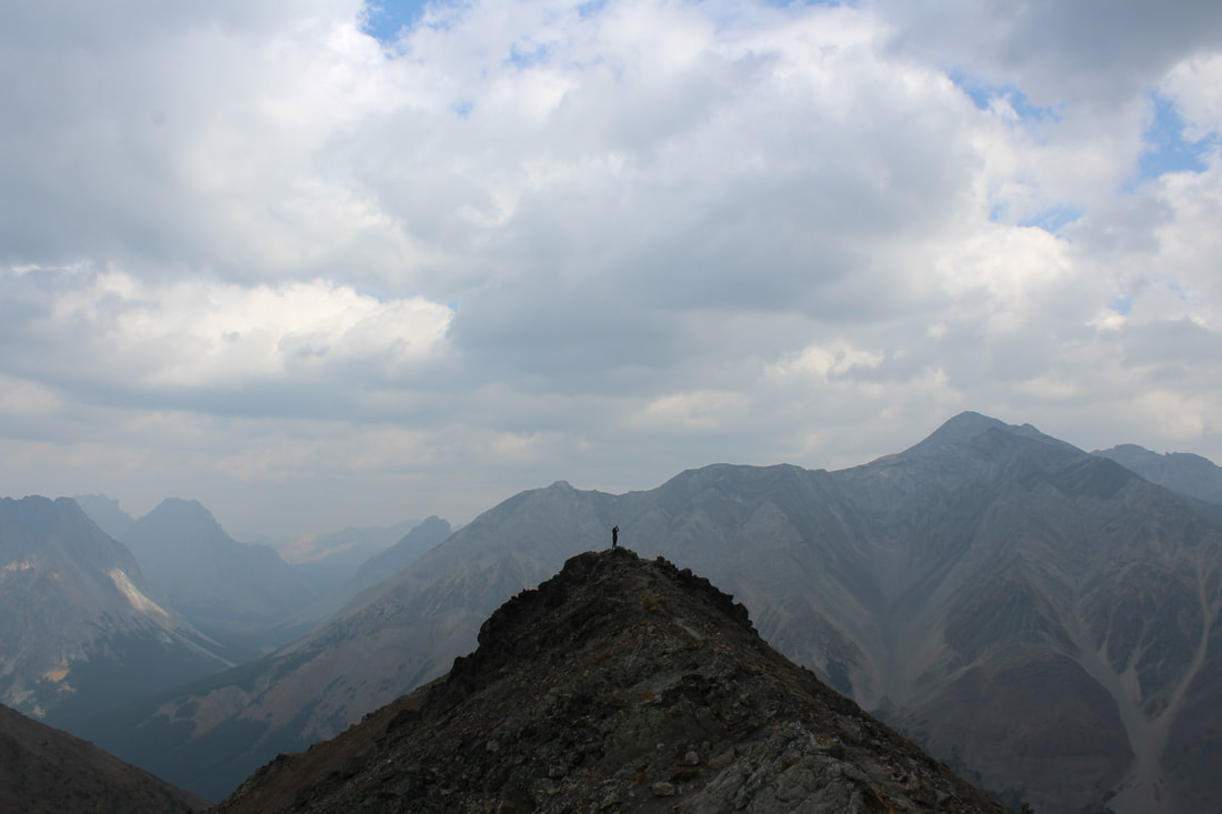
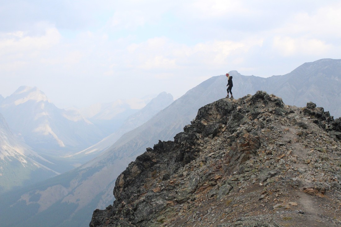
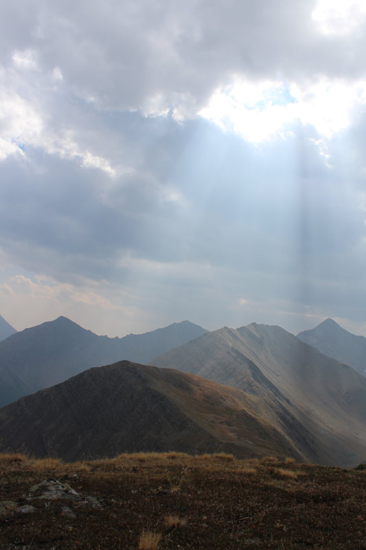
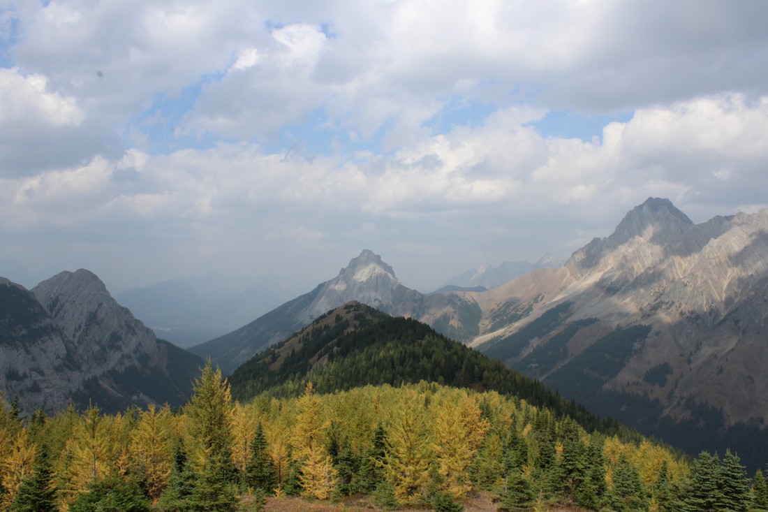
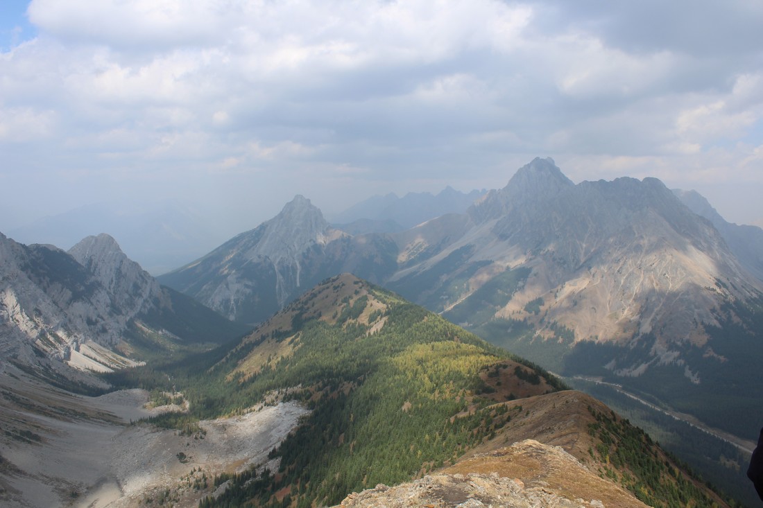
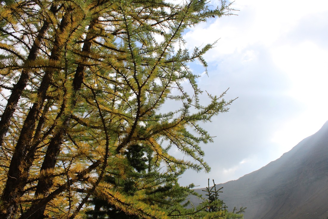
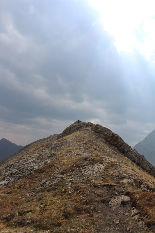
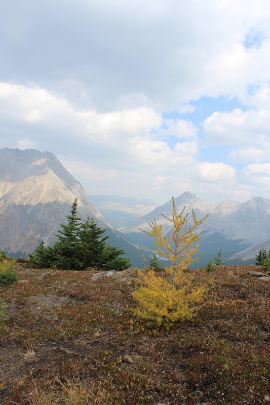
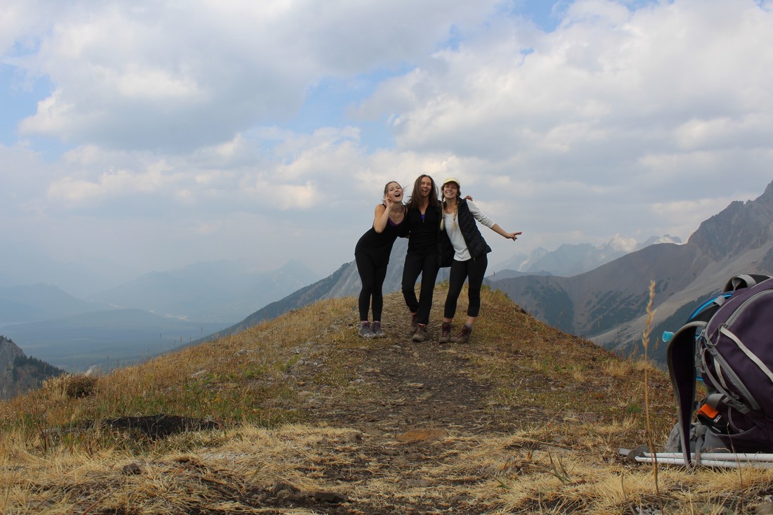
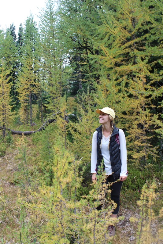
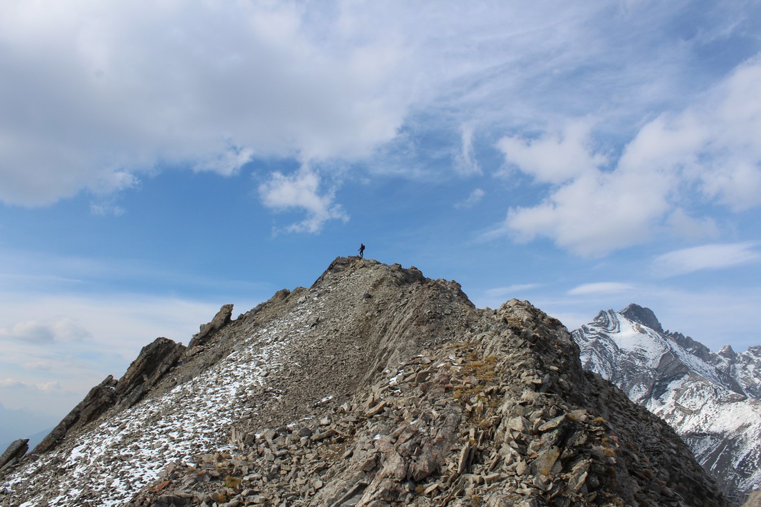
 Gina and I decided to spend our Sunday afternoon with a gentle hike through Arethusa Cirque – famed for its larches in the fall season. Ptarmigan Cirque will be packed with people, this Cirque, right next door, should be less busy. You can find the trailhead for this hike about 1 km south of the Highwood Pass Day Use Area. On the east side of the road, you will see a small bumpy road lead to a small parking area. The trail meanders its way up into Arethusa Cirque. It’s a short hike to the base of the cirque (about 40 meters elevation gain in just less than 1km). We had planned on exploring the cirque and making our way up the rocky ridge on the far side, however, we decided to take the trail up to Little Arethusa instead. This trail is steep! No joke, you pretty much hike up to the summit in one go. In total, we climbed just over 475 meters to get to the summit (in about 2.5 km’s). It was steep, but short and only took us an hour and a half to reach the summit. The views from the top were breathtaking. It had just snowed a couple days before, so all the peaks were brushed in white. Storm Mountain, to the South, looked amazing, and looking down on Ptamagin Cirque was also pretty cool. I would recommend this hike if you are looking for a short, steep challenge. We didn’t have much time to explore the cirque itself, but from up high we could tell it was packed with larches. Happy Trails! 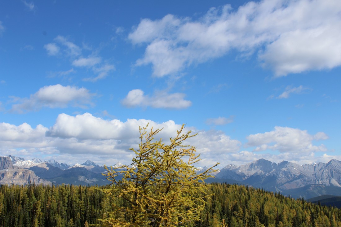 After doing some research on different hikes in Banff & Kananaskis that feature the famous golden larches, I stumbled upon Arnica Lake. I wanted to track down a hike that had larches but wasn’t bursting at the seams with tourists. I feel like we struck gold. The hike starts at the Vista Lake Viewpoint parking lot. Turn off at Castle Junction and take Hwy. 93 towards Radium until you reach Vista Lake (only about 8 km’s). The beginning of the hike is an easy descent to the lakeshore. After making your way around Vista Lake, the trail crosses a bridge and starts a gentle incline. After a 1 km or so, the trail steepens and the real climb begins. From the parking lot to Arnica Lake is a total of 4.8 km’s (with just over 550 meters elevation gain). With that being said, it's short but steep. As soon as we broke the treeline, we were able to see larches. The trail makes its way through a small meadow and then skirts left back into the trees. Climb for a bit more and you will come to the dazzling shore of Arnica Lake. We took a nice break here, before continuing to the ridge. If you want to get a birds-eye view of the lake, continue on the main trail. Climb for another 100 meters and you should see a small trailhead right off the main trail. As soon as you reach the top of the ridge, you will be able to get amazing views of Arnica Lake below. We were spoiled with amazing views of golden larches in every direction! Not to mention, amazing views of Mt Bell, Castle Mountain, Storm Mountain, and the valley to the South. Continuing on this small trail, you should see it veer to the south. Eventually, it pops out at a viewpoint which grants you amazing views of Upper & Lower Twin Lakes. We spent an hour up here just enjoying all the views and the larches. And we only saw a total of four other small groups the whole day! If you are continuing on to Twin Lake and Gibbon Pass make your way back to the main trail. We had reached our desired destination for the day, so we headed back down the mountain. Make sure to save some energy and keep in mind the 100-meter climb at the end of the hike which takes you from the Shore of Vista Lake back up to the parking lot. I would highly recommend this hike for anyone looking to see some fall beauty. Happy Trails ELEVATION GAIN: 1036 meters DISTANCE: 11 km (Along the whole Ridge) 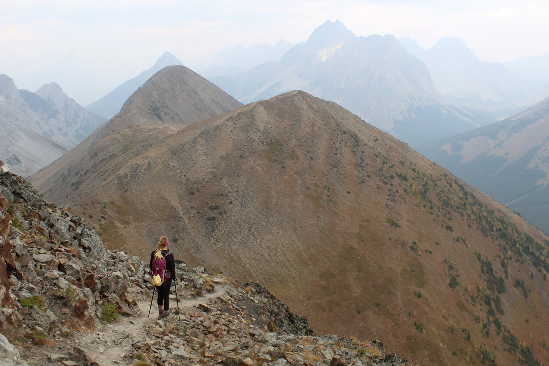 First things first, this is an amazing fall hike! Make your way down Hwy. 40 to the Highwood Pass Day Use Area. This is the starting point for the hike. Follow the well-used trail north until you see a small trail peel off to the left. If you hit the crosswalk crossing Hwy. 40 you have gone too far meaning your still on the trail for Ptarmagin Cirque. Once you have veered left, follow the trail up and down through the woods. This portion of the hike is fairly easy to follow; just keep your eyes open for ribbons marking the way. After a couple km’s you will find yourself at the bottom of Pocaterra Mountain and you will be able to see exactly where you are heading – up that steep grassy slope. It’s a bit of a sludge getting to the top but once your there find comfort in the fact that this is the highest point of the hike. The views from this first summit are amazing! Make sure to bring a warm layer and windbreaker as it can get pretty windy on the ridge. For many, this is the turn-around point. However, if you are planning on hiking the entire ridge, follow the well-trodden trail up along the ridge. From here, it’s a matter of sticking to the trail and making your way up and down the remaining summits. One of the great things about this hike is once you’re on the ridge; you stay there for a long time. This means tons of time taking in all the amazing views. After the 3rd summit, you should be able to see a forest of yellow larches. We had the best time walking through the yellow forest. From here, you continue along the trail until you make a very steep descent back to the highway ending at the Little Highwood Pass Day Use Area. From here, you are about 7 km’s away from your vehicle at the Highwood Pass. We had planned on hitchhiking to get a ride (don’t worry mom, there was three of us), but thankfully we met a kind stranger on the trail who offered us a ride. Most people either plan on having two vehicles (one parked at each day use area), or they summit the ridge and head back the way they came. We did this trek on a Saturday so we were confident we would be able to hitch a ride. However, its best to be safe and do what you are comfortable with. Overall, I would give this hike a high rating. I would recommend hiking the ridge from South-North. That way you get the steepest part out of the way. It also means you won’t be dealing with ‘false summits’ all day long. Thanks for the fun day Jenny & Rachel. Cant wait to do it again next fall! Happy Trails, Cassie * Starting Location * Ending Location
|