|
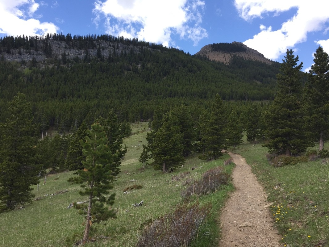
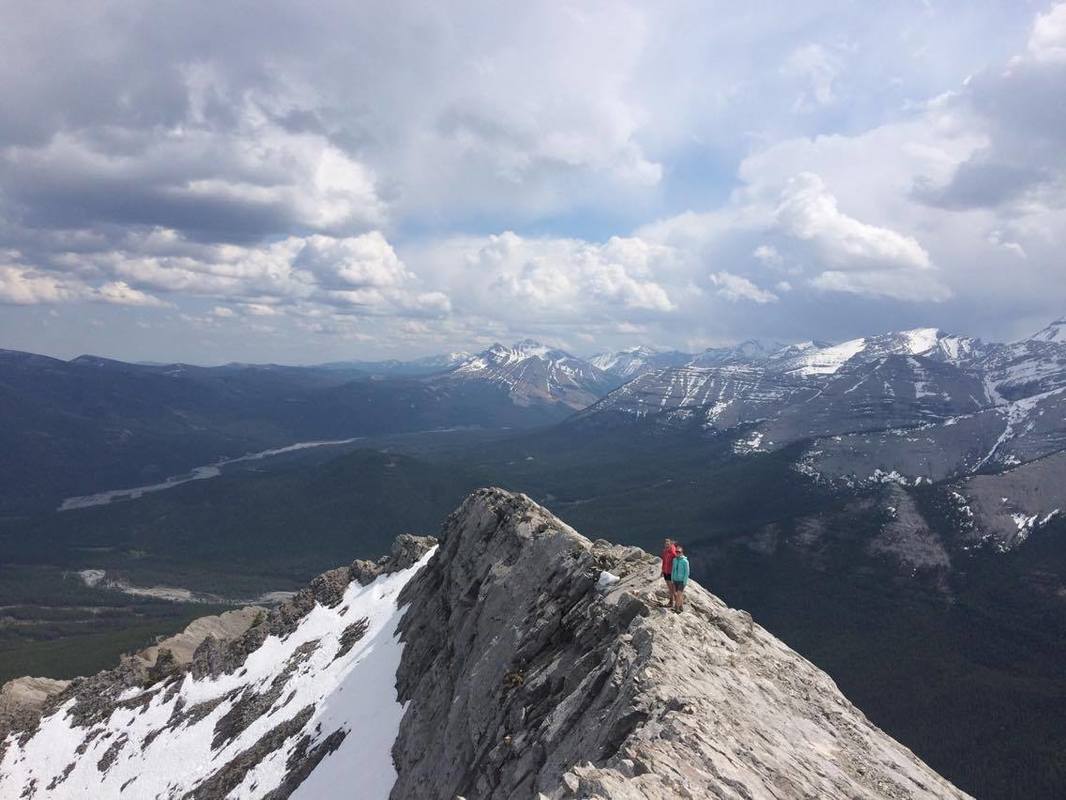
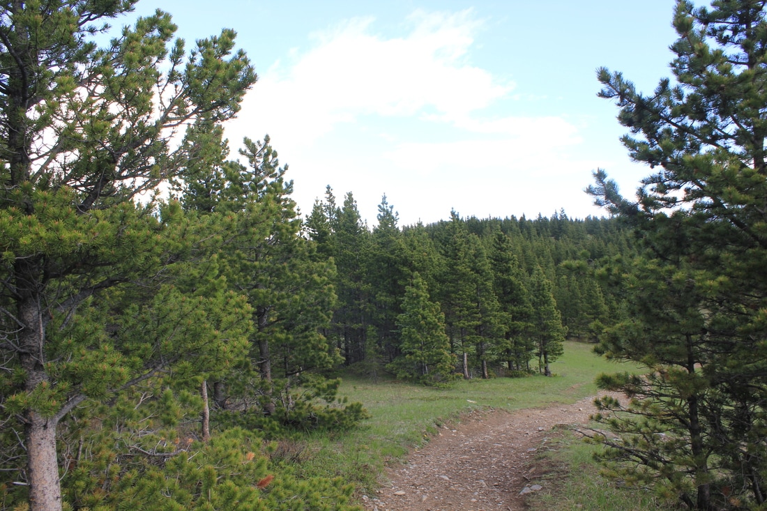
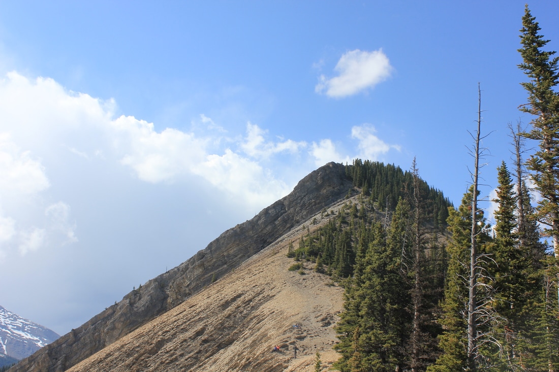
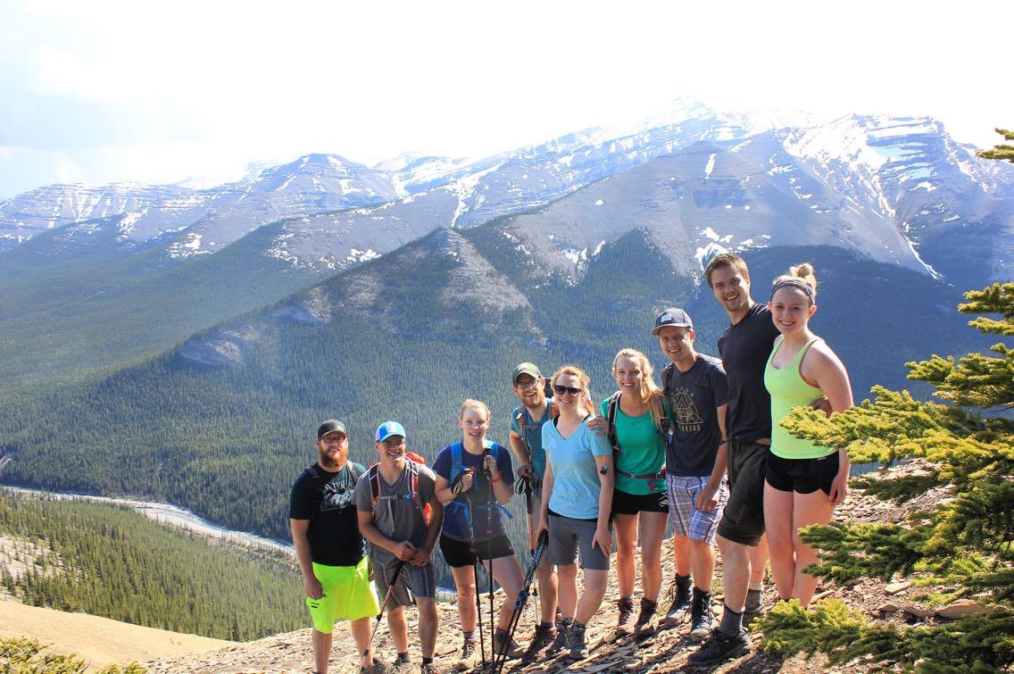
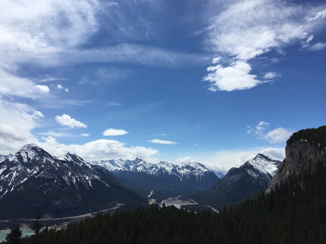
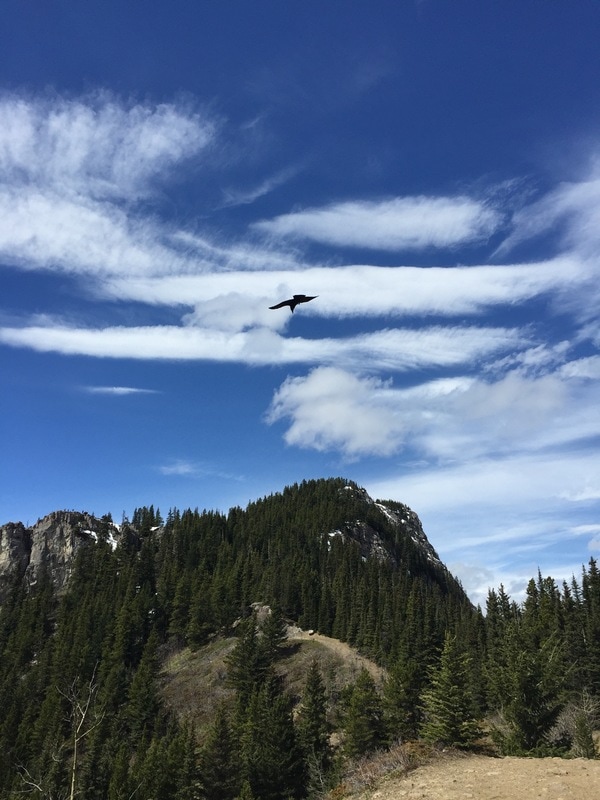
ELEVATION GAIN: 411 meters DISTANCE: 8 km round trip 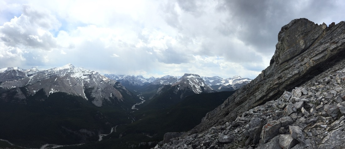 Nihahi Ridge is a wonderful all-terrain hike close to Calgary. The trailhead is located at the Little Elbow parking lot near the end of Hwy. 66. The start of the hike is a bit underwhelming, as you will have to make your way past the outskirts of the Little Elbow Campground along the road, about 1.5 km. There will be a sign with a map on the right side of the road indicating the official start of the trail. Here you will begin your ascent via some switchbacks through the trees. The trail itself is easy to follow and well-marked. After breaking through the trees you will come upon a short flat section followed by a climb along the bottom of the ridge. Watch your footing on the trail as there is loose dirt and rock that you will be climbing. The trail continues up the ridge with amazing views of the Elbow Valley and surrounding peaks. For those who aren’t attempting the summit, take a break and enjoy the views. That’s one of my favorite things about this hike – you can make it as long or short as you want and still have great views. For those going further on to the summit, continue on the trail as it skirts around the right side of the mountain. There is an upper and lower trail on this portion of the hike. They eventually meet up so feel free to take either path. At one point, you will have to climb a small section of rock – using both hands and feet. Then, it’s a matter of tackling the scree and arriving at the summit. Use caution on the ridge as there is lots of loose rock and it can be quite windy (we couldn’t stay on the summit long as a storm rolled in). Retrace your steps on the way down. Overall, this is an awesome, underrated hike that is great for beginners, and those who are a bit more advanced. Hiking poles are recommended, but not essential. Happy Trails!
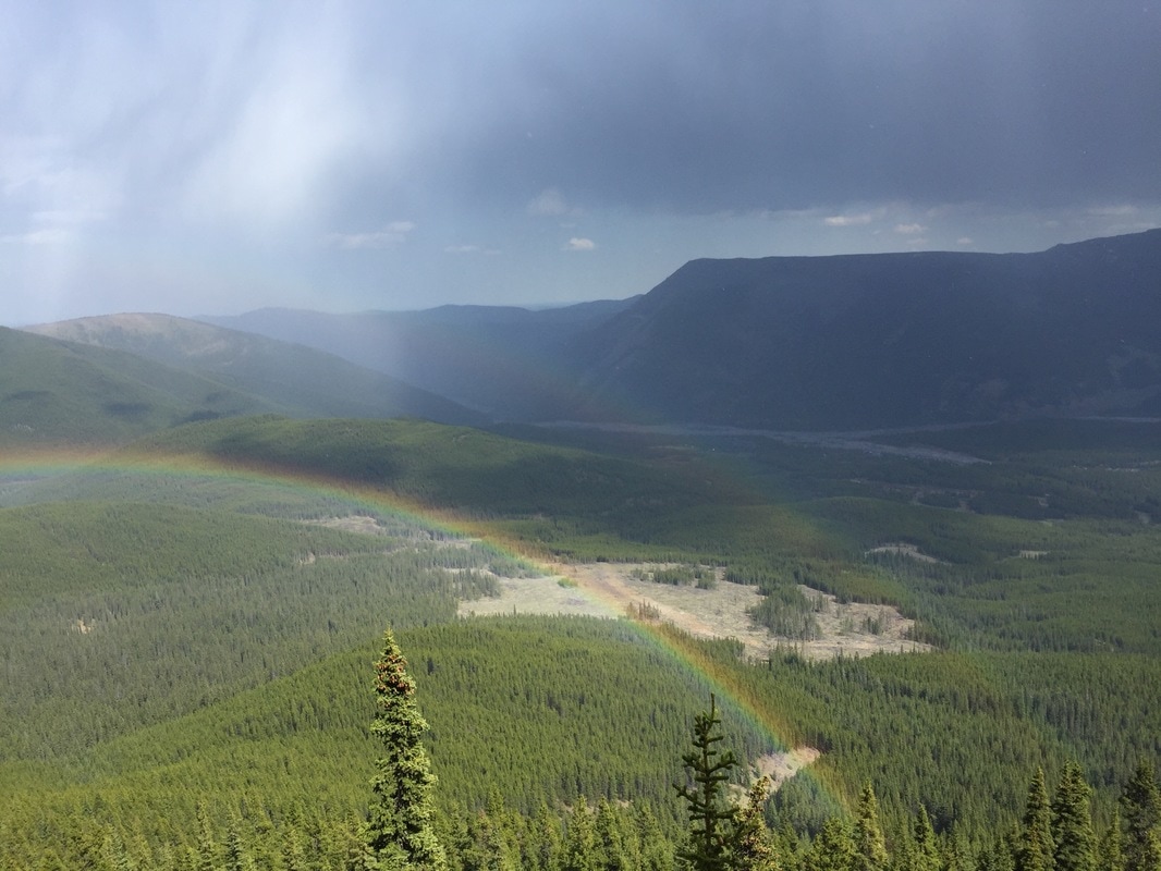
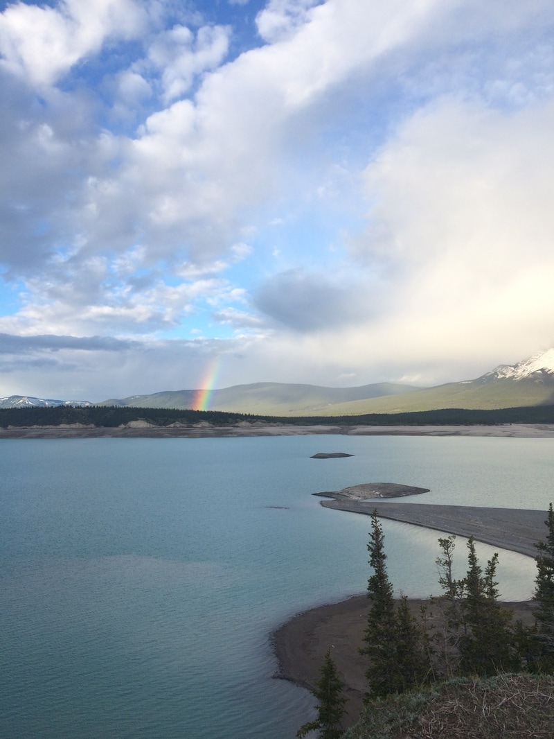
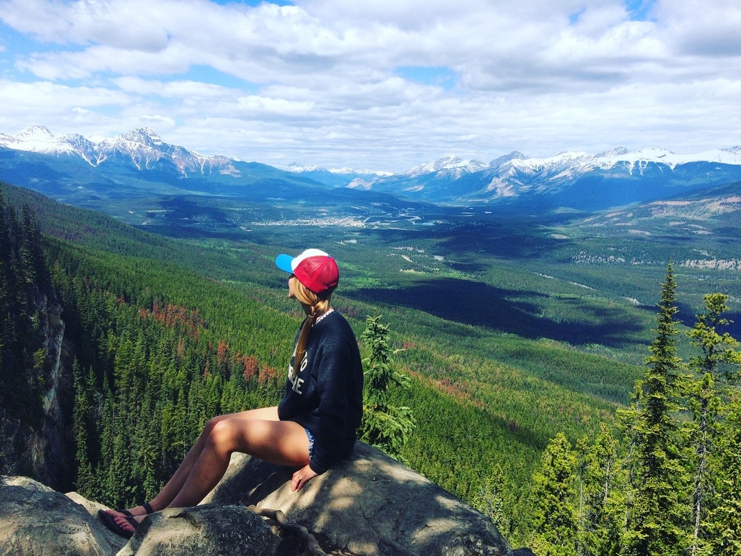
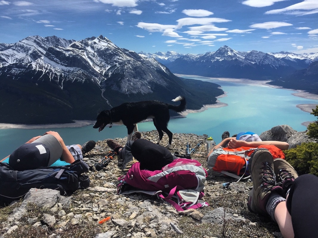
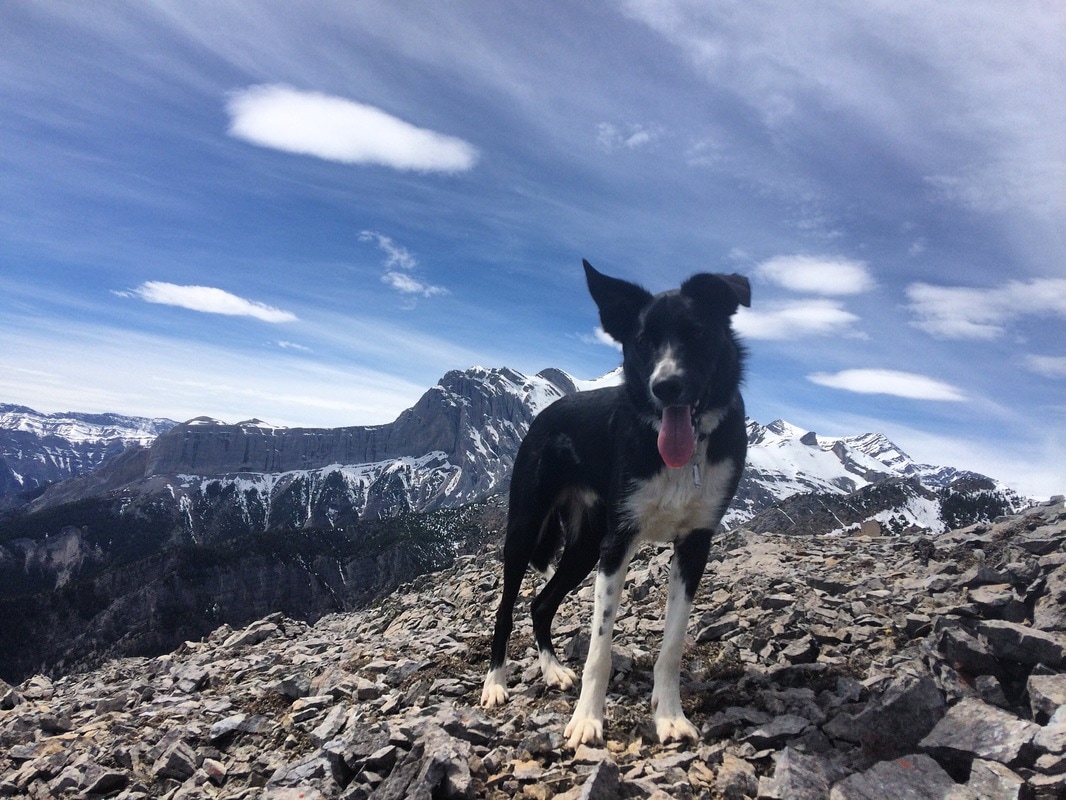
0 Comments
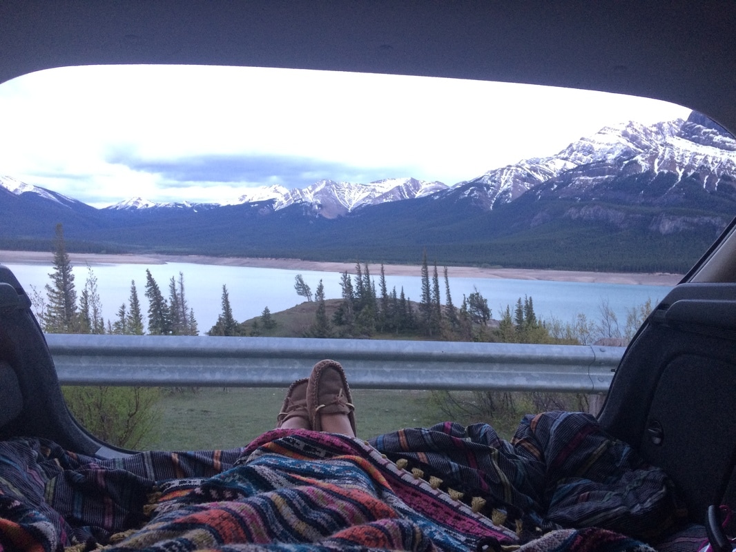
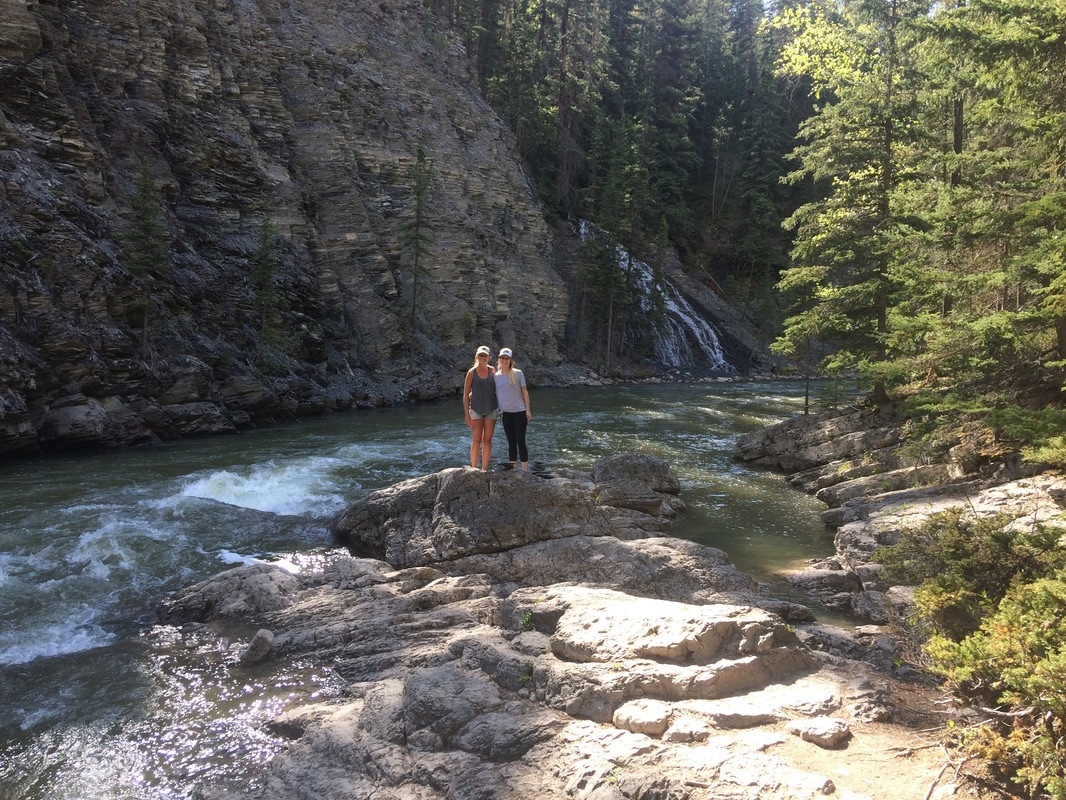
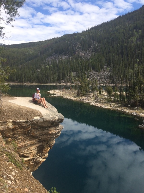
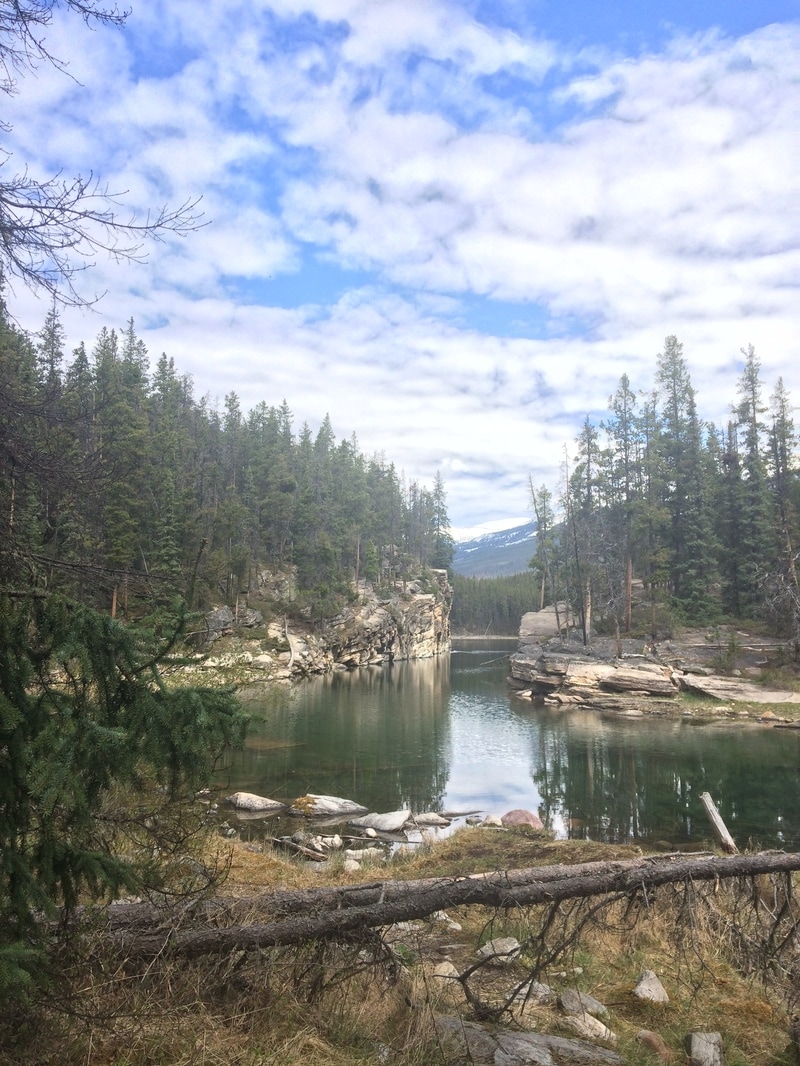
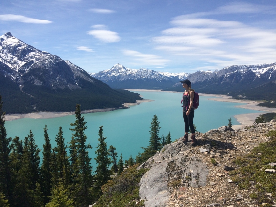
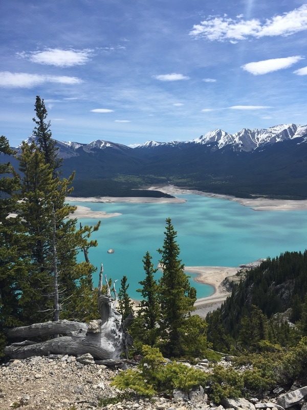
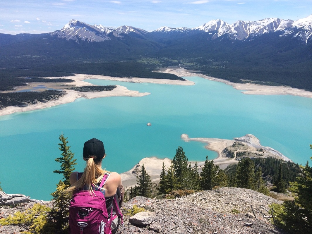
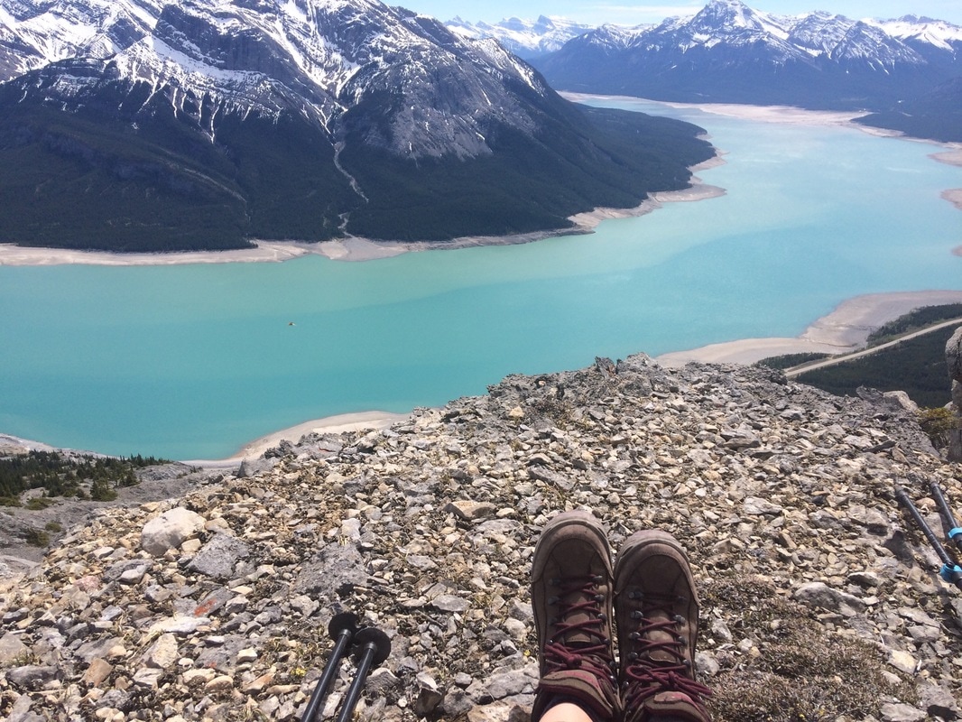
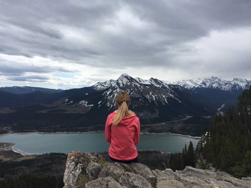
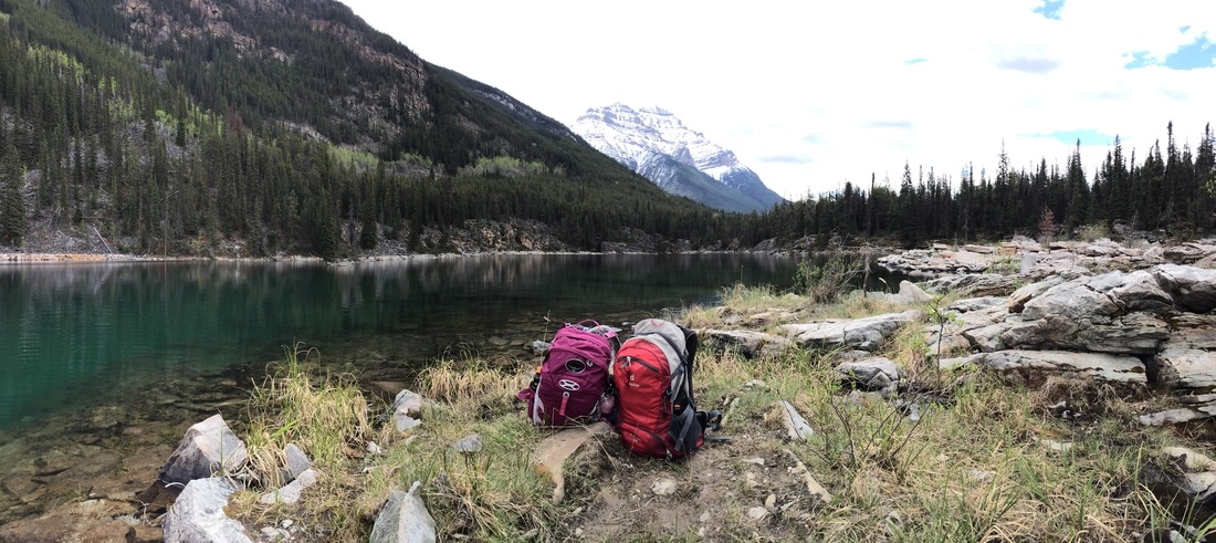 My first mini road trip to Jasper was a success. It’s hard to believe I had never visited this quaint mountain town before. I left Calgary and made my way to Abraham Lake. I parked my car at windy point and had a wonderful sleep in the back of my car (thank goodness for hatchbacks). In the morning, I finished the drive to Jasper and met up with Karya. While touristy, there seemed to be lots of hidden gems to escape the crowds. Karya and I visited Horseshoe Lake, the ‘Edge of the World’, Pyramid Lake and Maligne Canyon. We filled our day with mini adventures and ended the day with a bike ride downtown to get pizza and drinks on a rooftop patio. On Saturday we had a mountain beach day complete with a quick dip in the freezing waters of Annette Lake. Thanks for the awesome weekend Karya and Jill – these two sure know how to adventure! ELEVATION GAIN: 600 (approx) meters DISTANCE: 7 km round trip 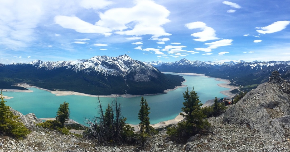 Park at the Windy Point day use area approximately 120 km's west of Rocky Mountain House. The trail head for this hike is found on the north side of the highway, right before the road cuts into a large slab of rock. This hike is tough as it's quite steep. The trail is fairly easy to follow. Keep left to avoid large cliffs on the south side of the mountain. There are a couple of false summits, but don't be discouraged. At the summit you will look back and see the three large humps you successfully climbed. Take in amazing views of Abraham Lake's turquoise waters and the surrounding mountains. On the way down you will find some scree, and sections where you will have to go slow and take your time. I highly recommend using hiking poles! It took us 3.5 hours to reach the summit, although we took quite a few breaks and 2 hours to get down. ELEVATION GAIN: 500 meters DISTANCE: 13.2 km round trip (with jewel pass) 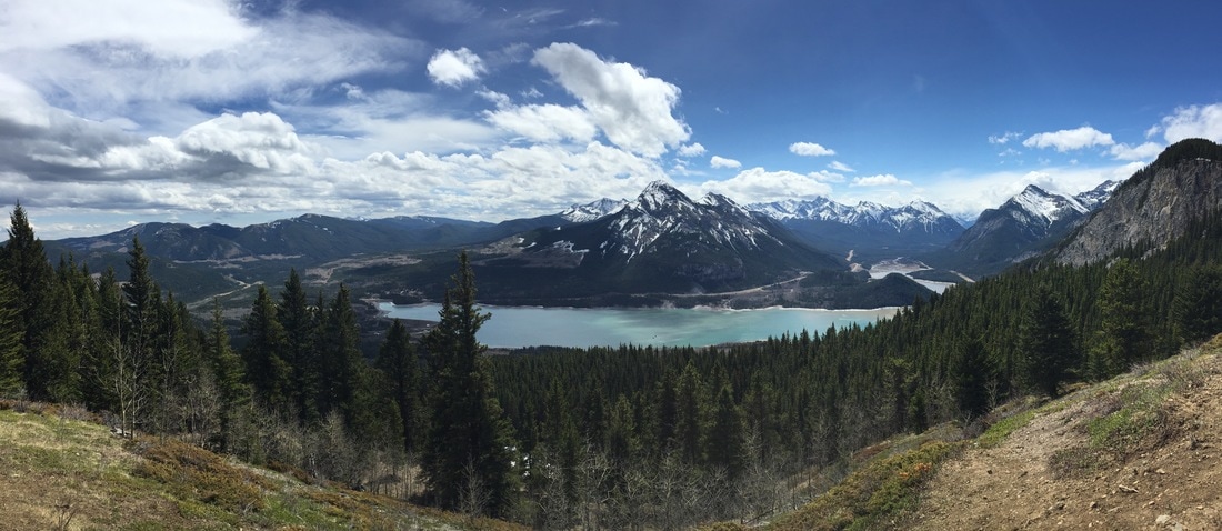 Park at the Barrier Lake day use area on Hwy. 40. Make your way across the dam heading west. Follow the main trail slightly north west into the trees and begin your ascent. Mostly long switchbacks with some sections getting a bit steeper near the top. As soon as you break through the trees, you'll have amazing views of Barrier Lake and Mount Baldy. The trail continues on leading to another look out point where you can score some sweet views from the cliff's edge. From this point, you can either turn around and head back down the way you came, or you can continue on the trail heading south. The trail turns into Jewel Pass and loops around the backside of the mountain. Along this section of the trail you will pass Jewel Falls. Then you continue towards the lake, ending at the far South side. Finish off with a walk along the lake shore back to the trail head. Happy Trails! |