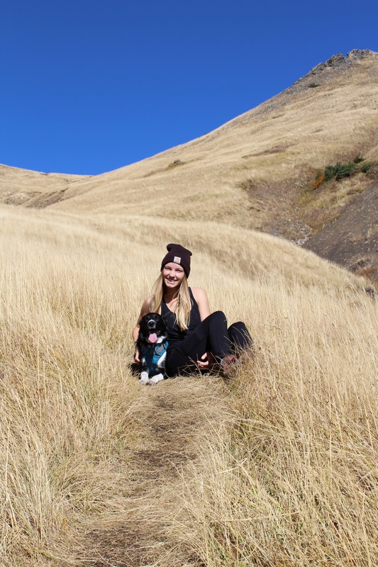
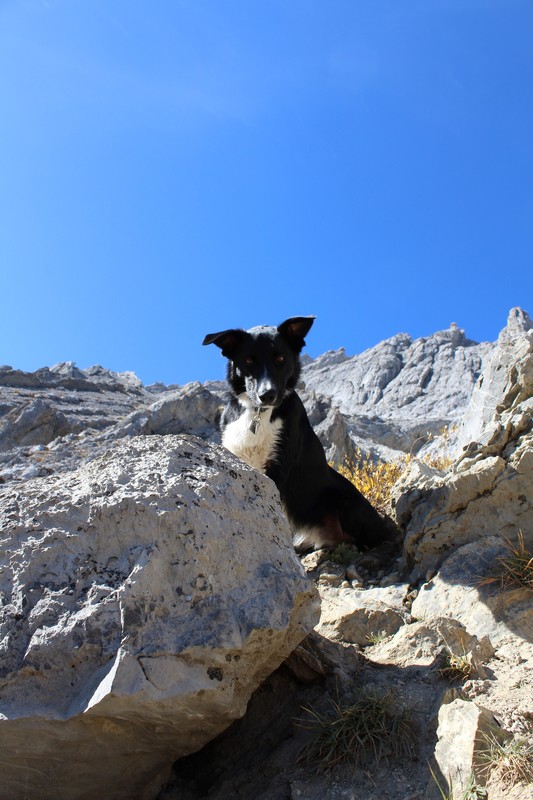
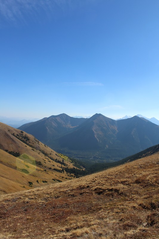
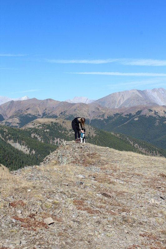
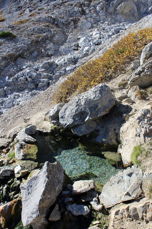
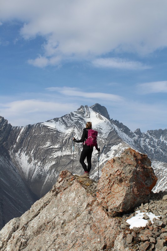
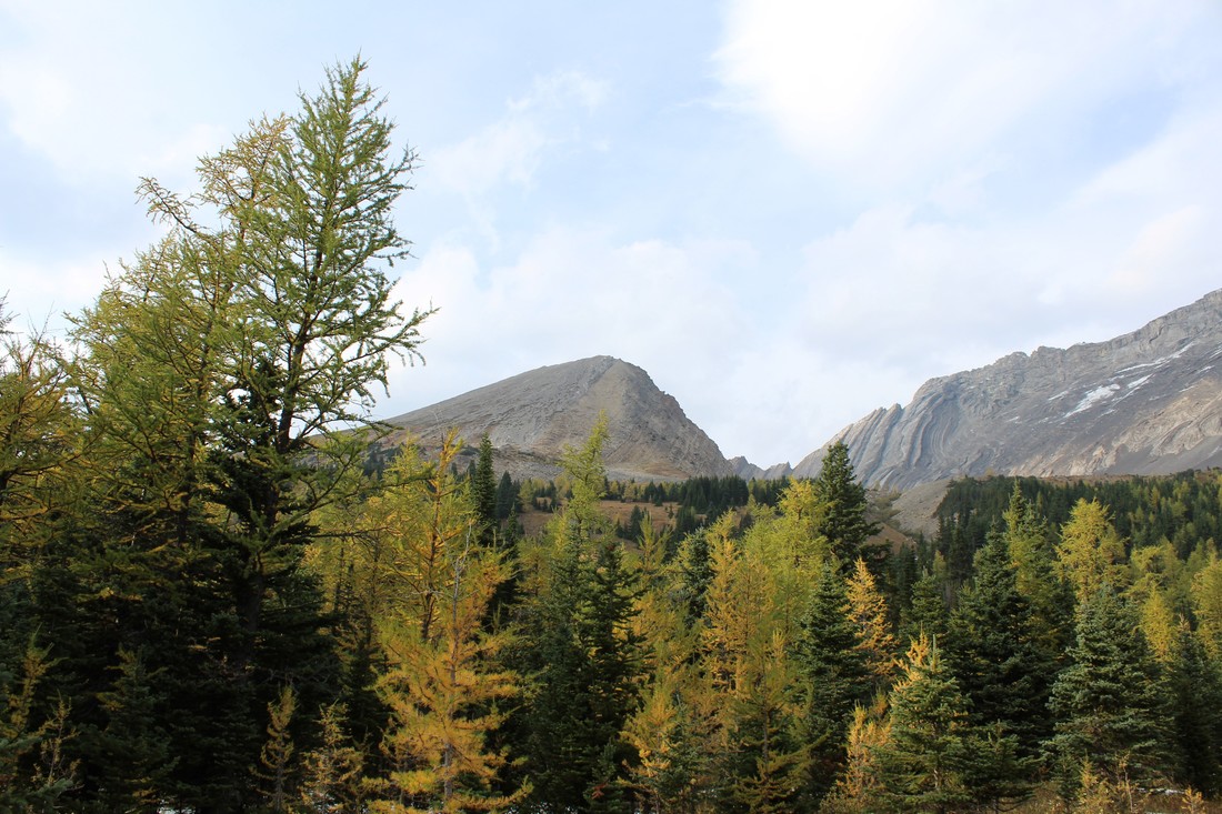
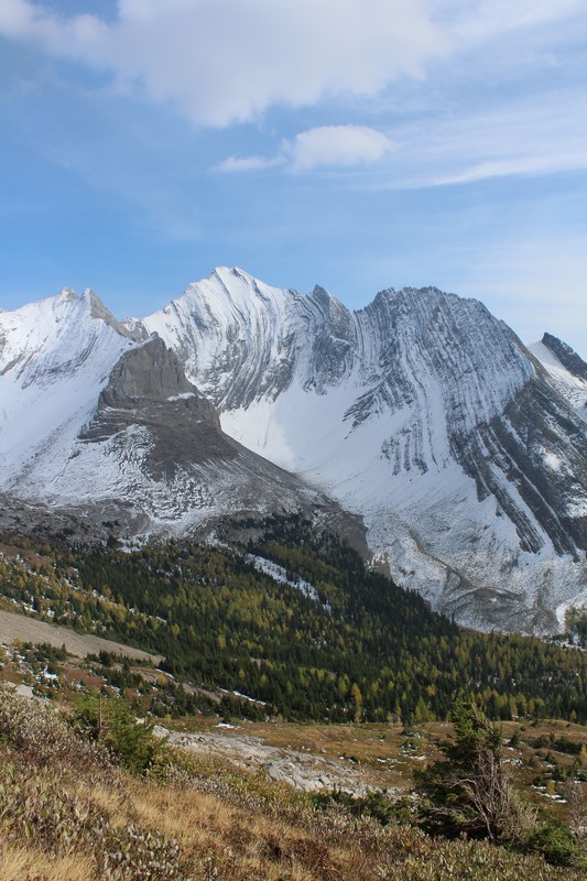
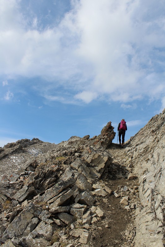
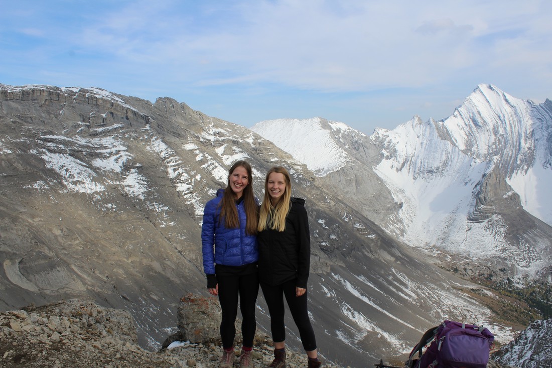
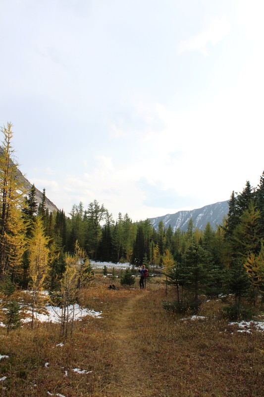
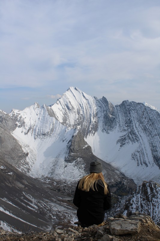
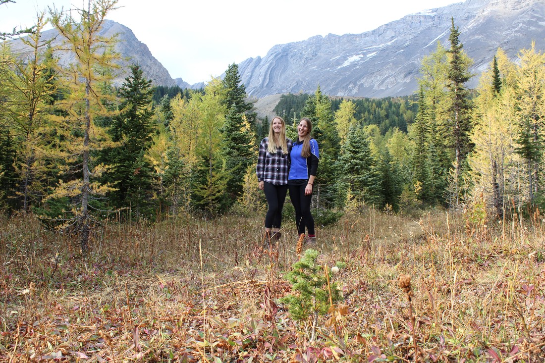
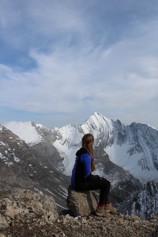
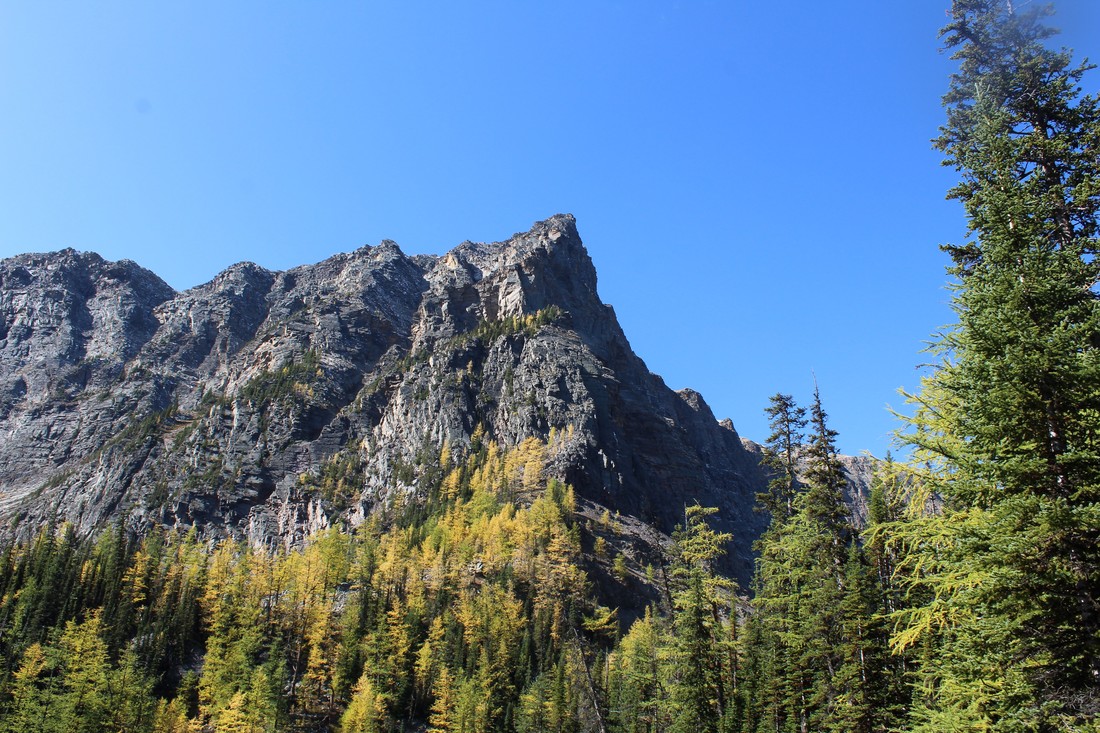
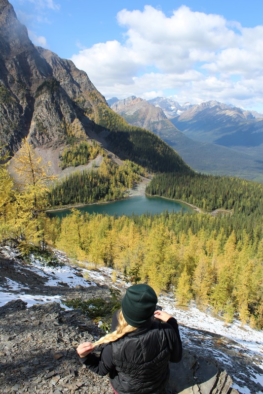
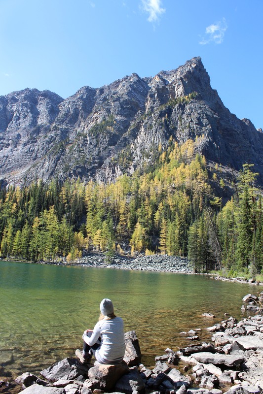
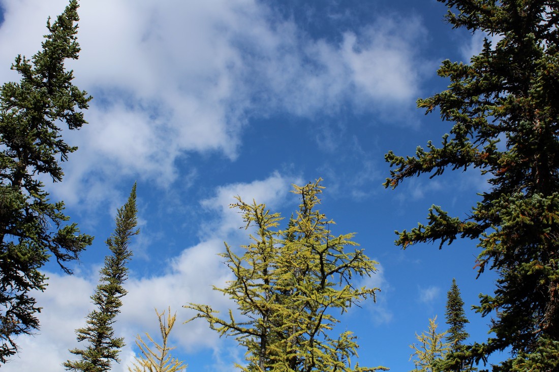
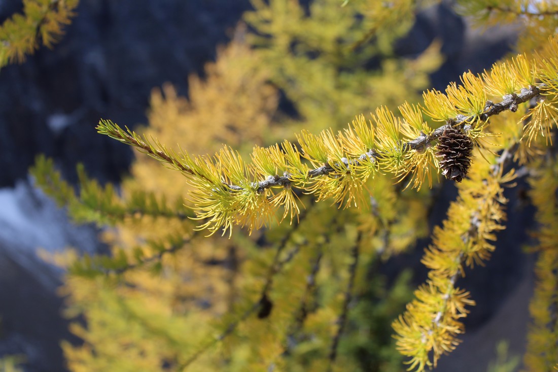
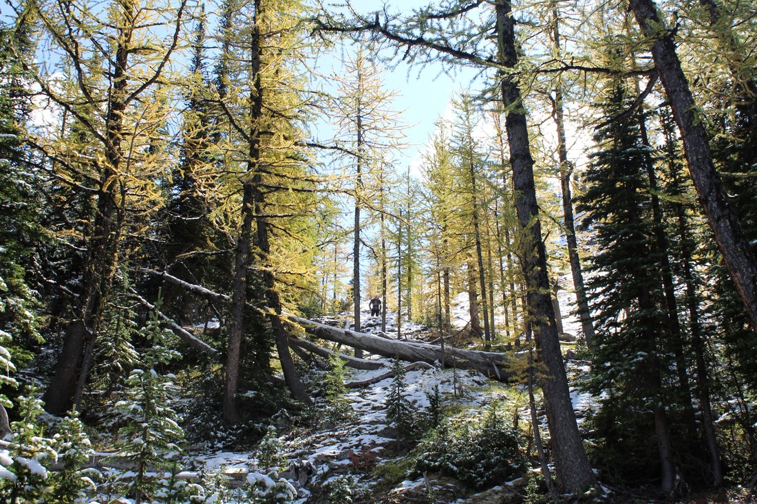
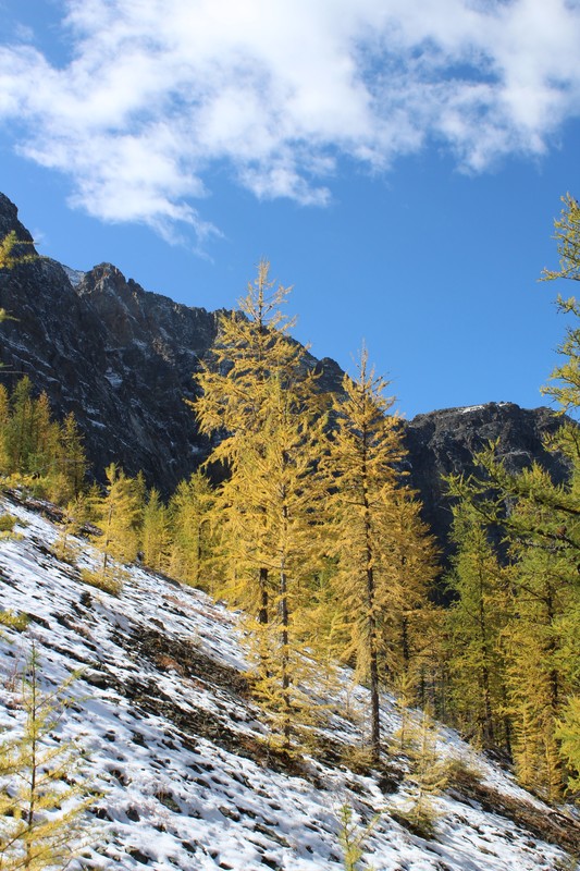
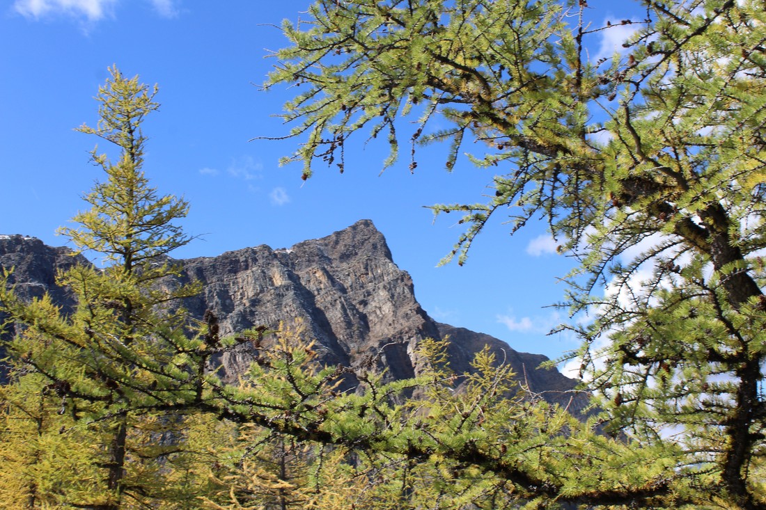
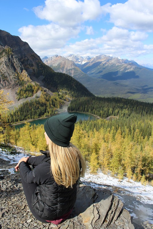
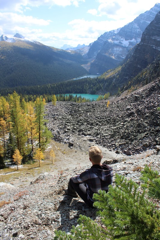
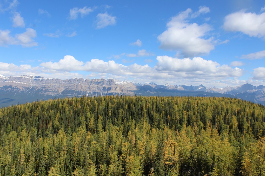
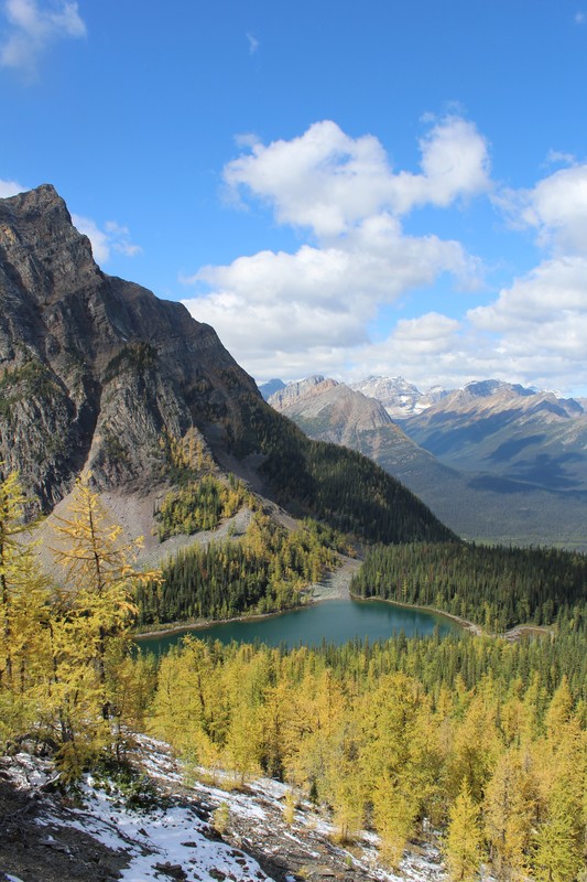
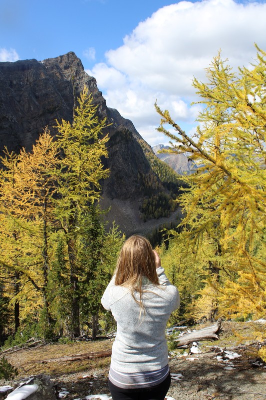
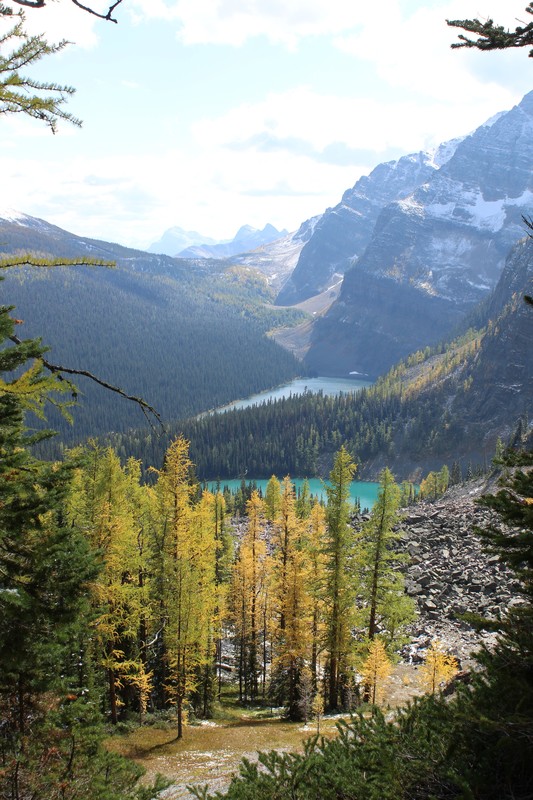
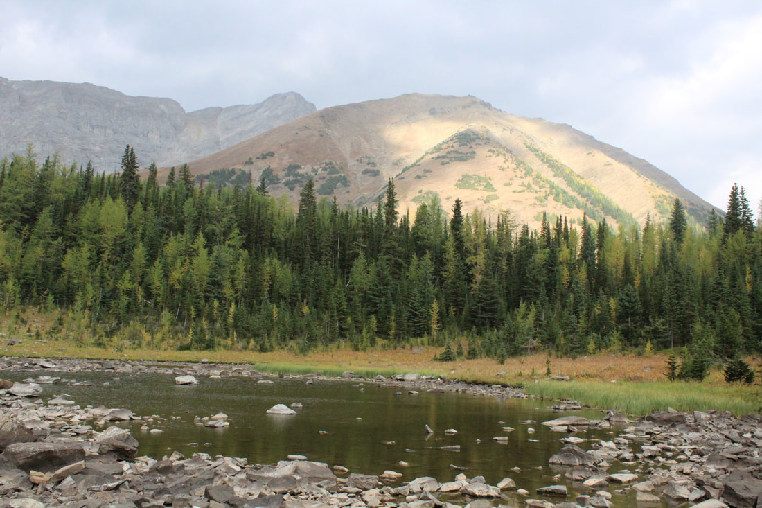
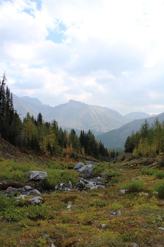
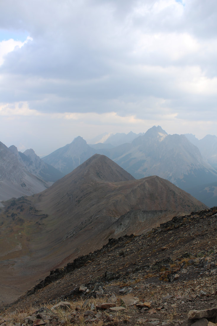
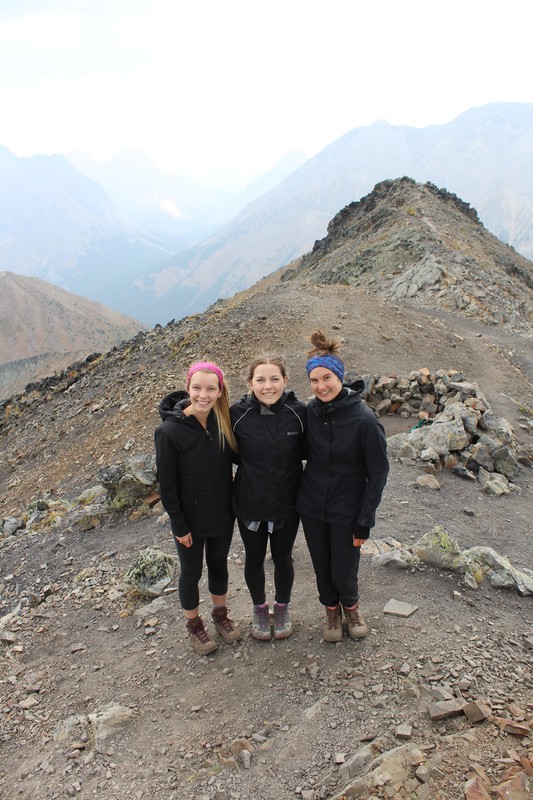
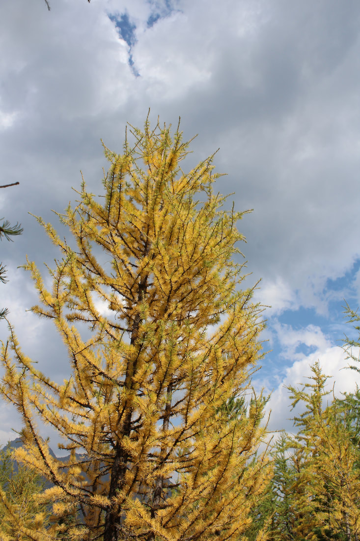
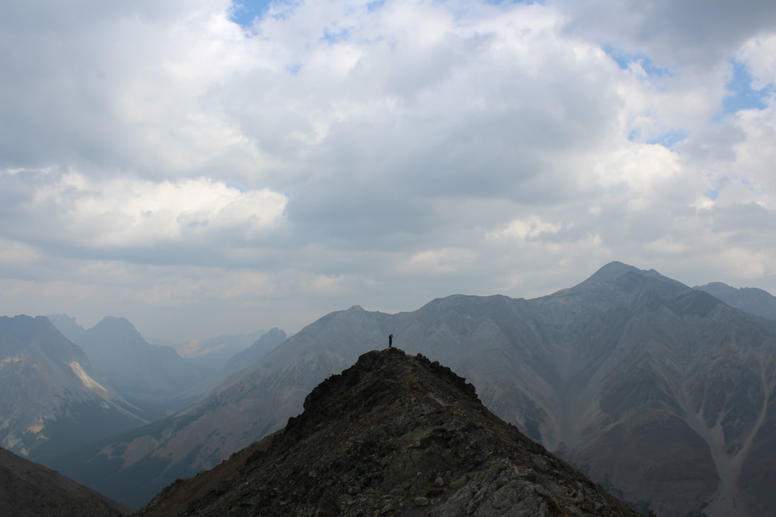
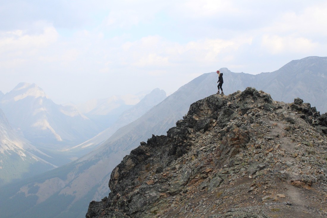
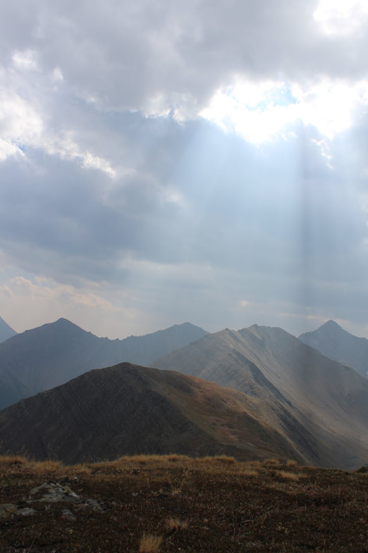
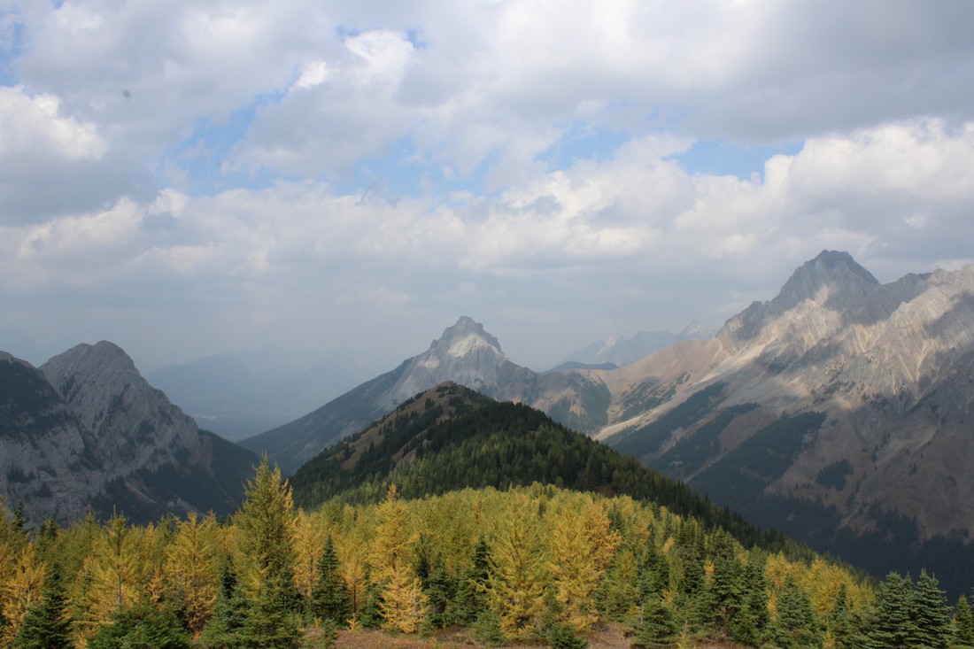
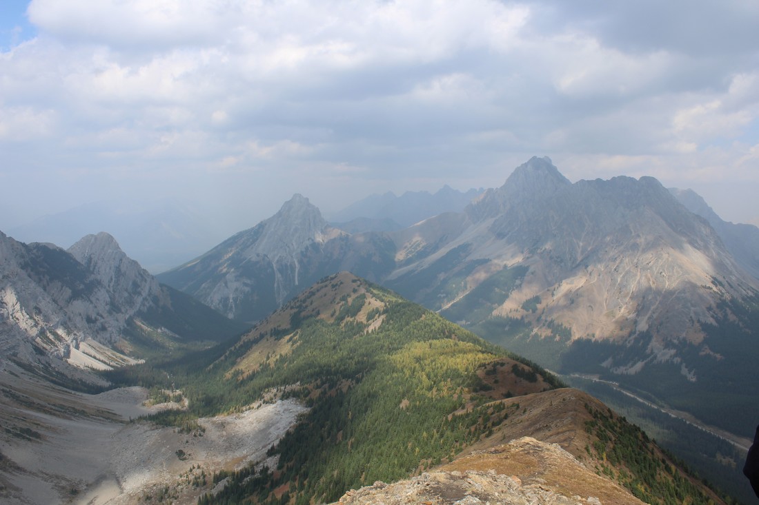
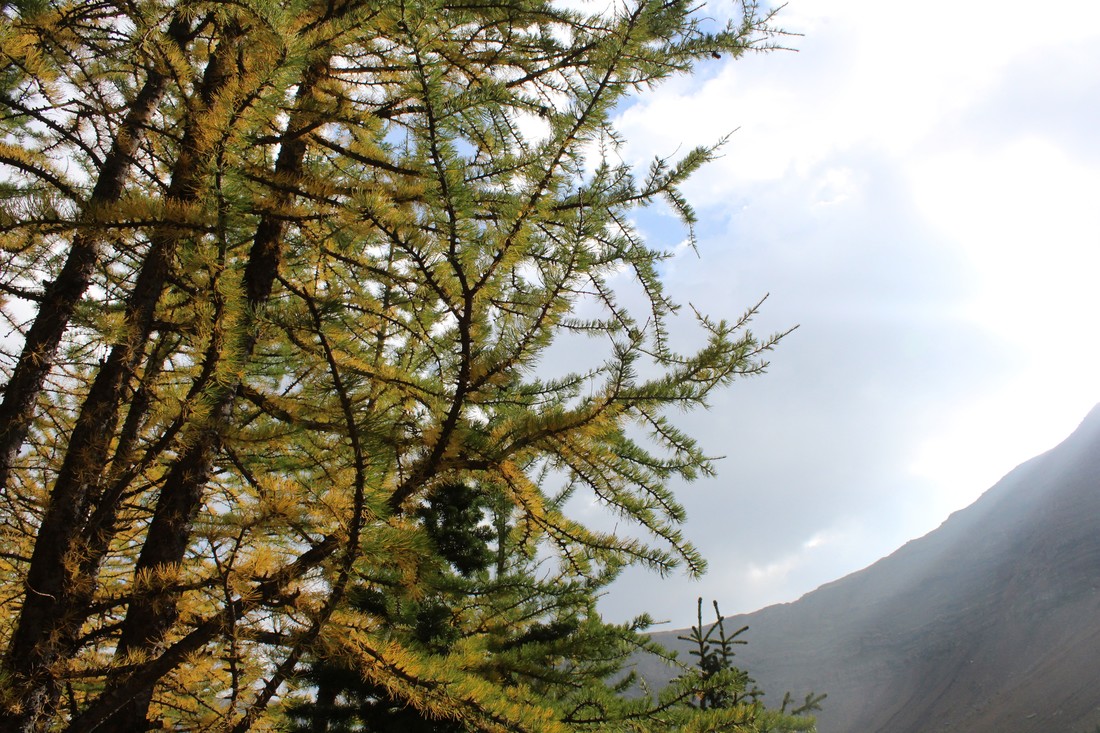
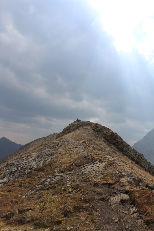
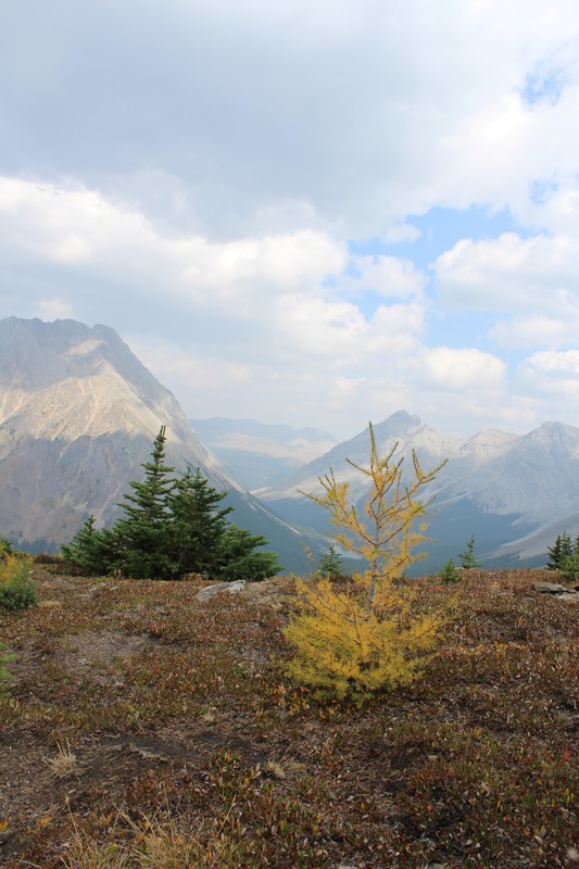
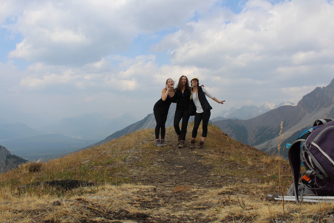
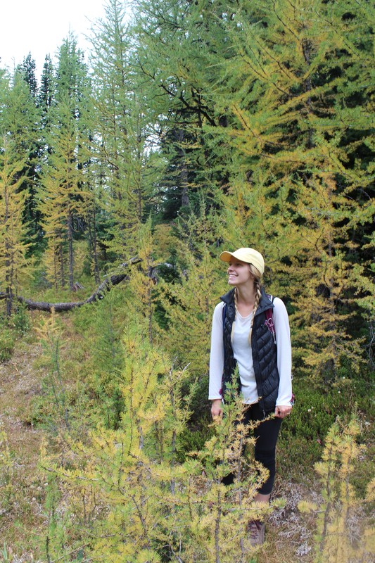
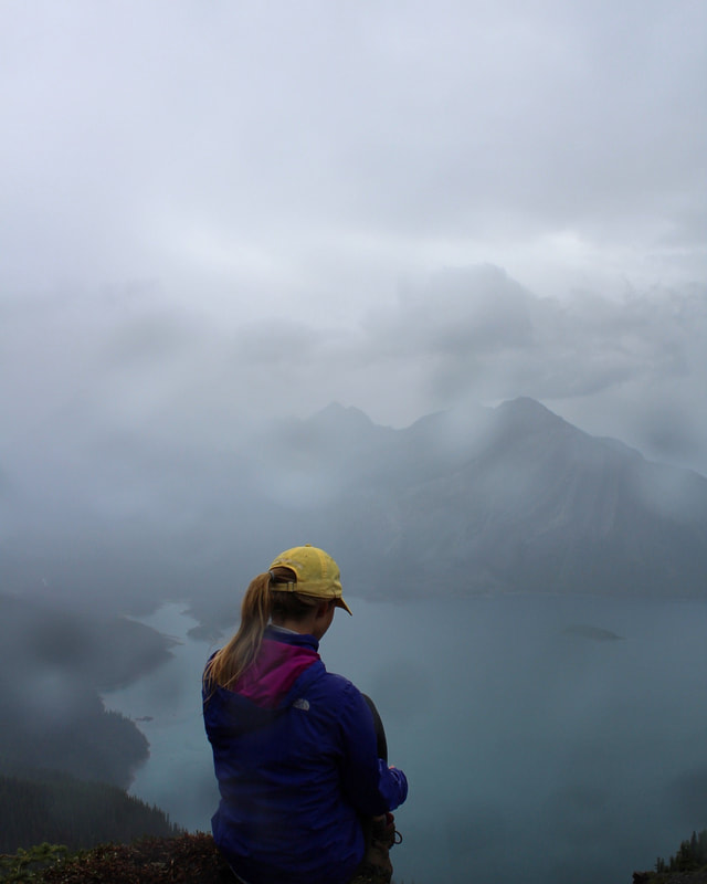
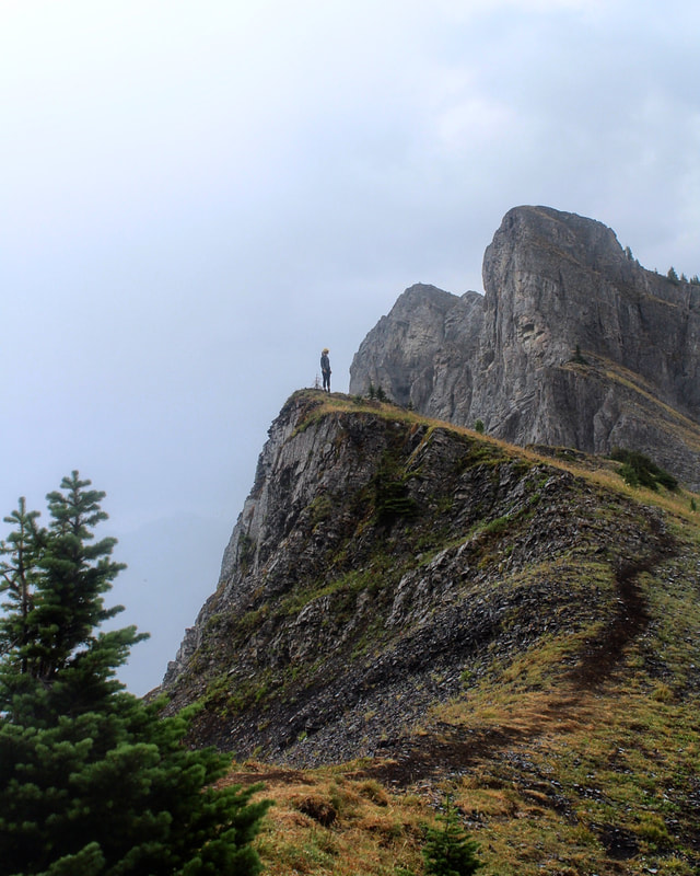
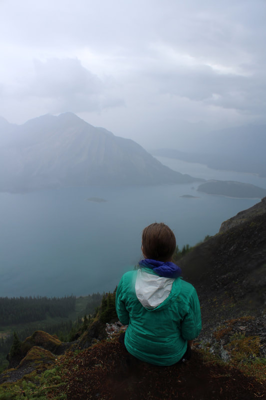
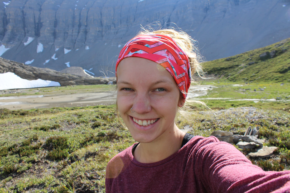
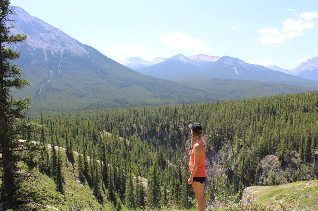
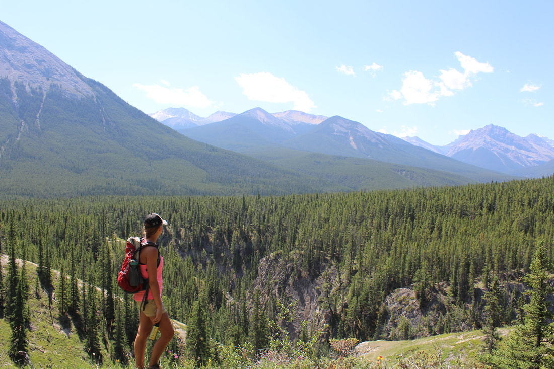
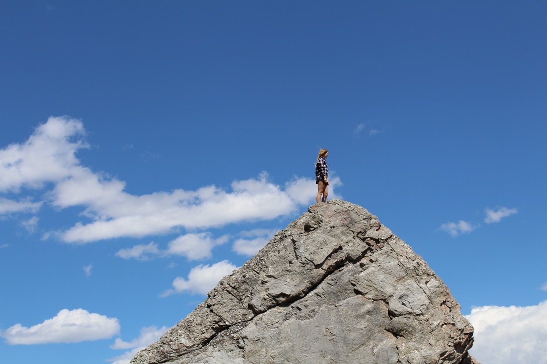
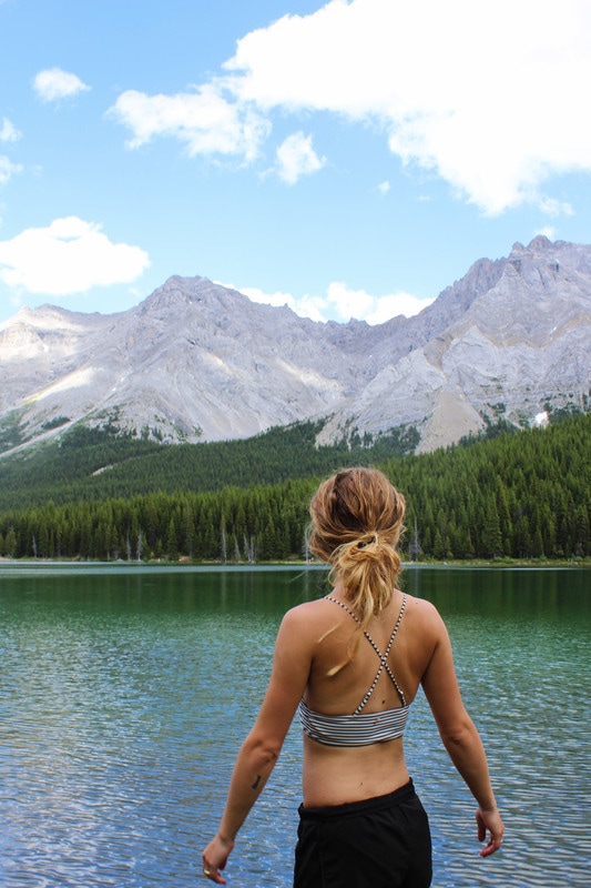
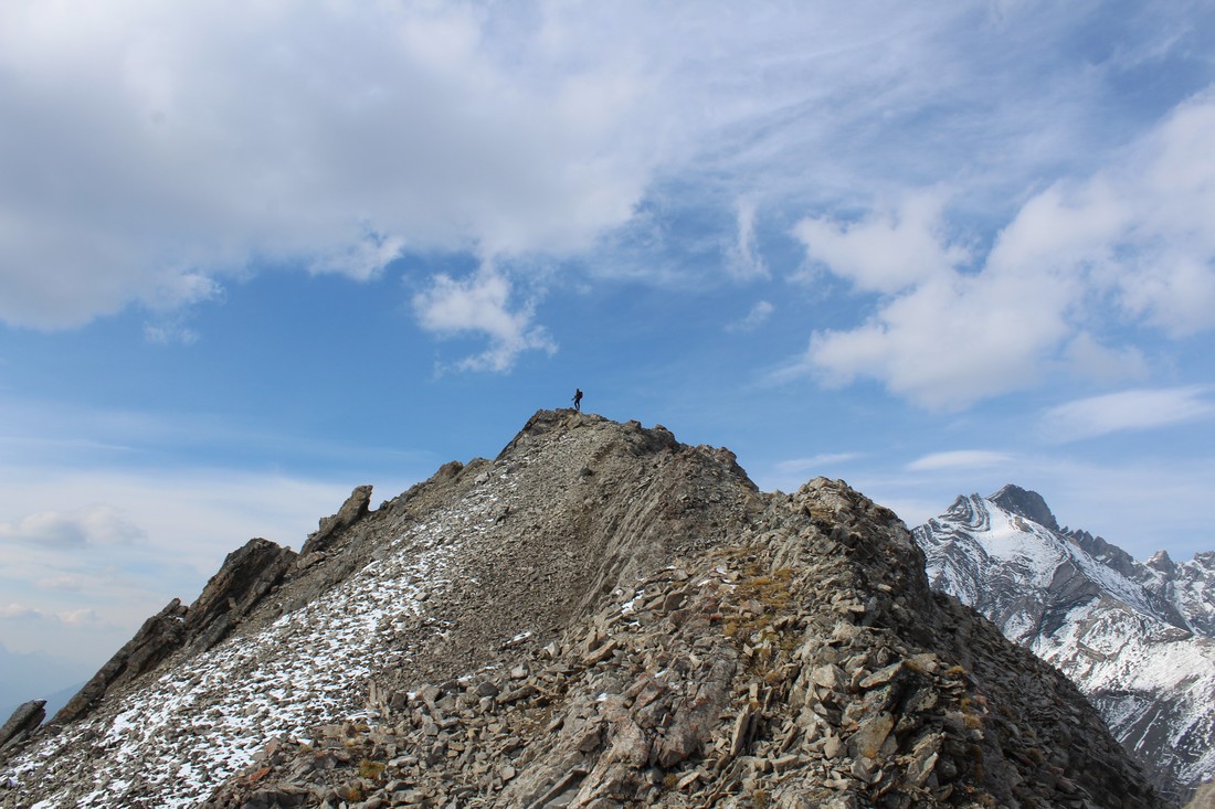
 Gina and I decided to spend our Sunday afternoon with a gentle hike through Arethusa Cirque – famed for its larches in the fall season. Ptarmigan Cirque will be packed with people, this Cirque, right next door, should be less busy. You can find the trailhead for this hike about 1 km south of the Highwood Pass Day Use Area. On the east side of the road, you will see a small bumpy road lead to a small parking area. The trail meanders its way up into Arethusa Cirque. It’s a short hike to the base of the cirque (about 40 meters elevation gain in just less than 1km). We had planned on exploring the cirque and making our way up the rocky ridge on the far side, however, we decided to take the trail up to Little Arethusa instead. This trail is steep! No joke, you pretty much hike up to the summit in one go. In total, we climbed just over 475 meters to get to the summit (in about 2.5 km’s). It was steep, but short and only took us an hour and a half to reach the summit. The views from the top were breathtaking. It had just snowed a couple days before, so all the peaks were brushed in white. Storm Mountain, to the South, looked amazing, and looking down on Ptamagin Cirque was also pretty cool. I would recommend this hike if you are looking for a short, steep challenge. We didn’t have much time to explore the cirque itself, but from up high we could tell it was packed with larches. Happy Trails! 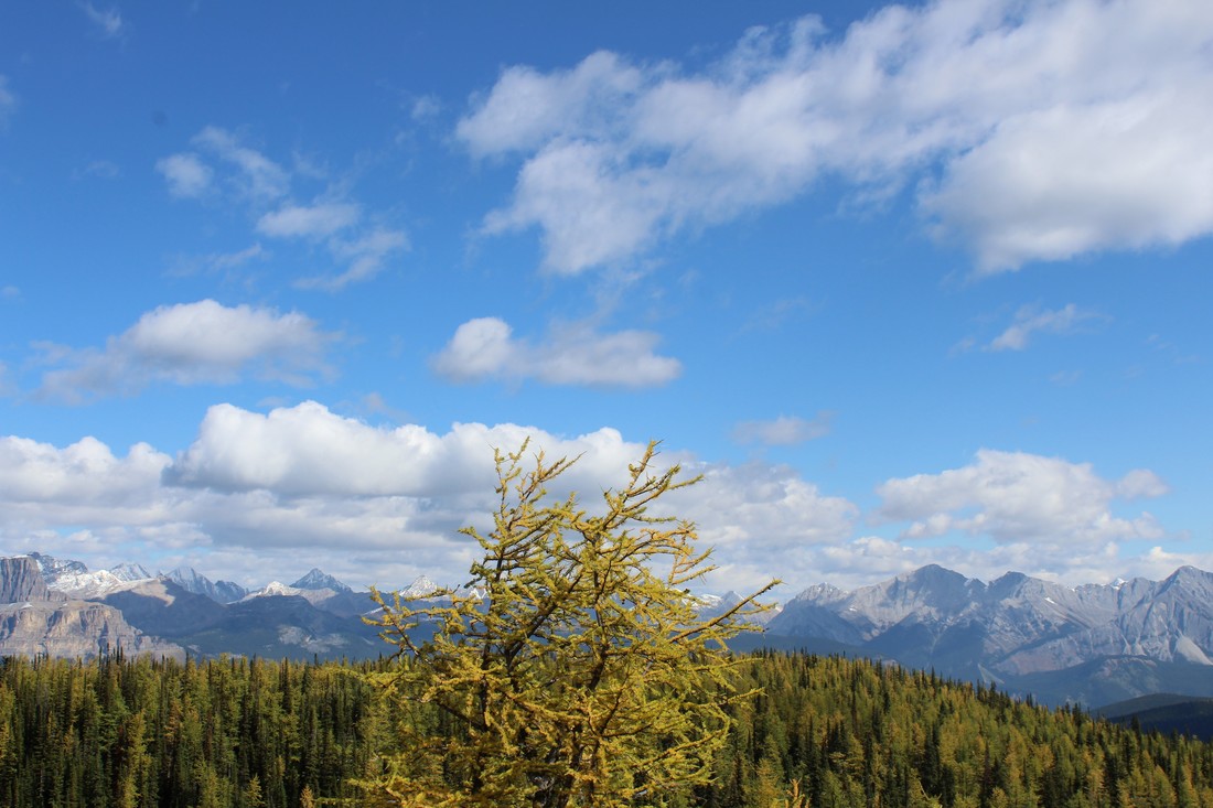 After doing some research on different hikes in Banff & Kananaskis that feature the famous golden larches, I stumbled upon Arnica Lake. I wanted to track down a hike that had larches but wasn’t bursting at the seams with tourists. I feel like we struck gold. The hike starts at the Vista Lake Viewpoint parking lot. Turn off at Castle Junction and take Hwy. 93 towards Radium until you reach Vista Lake (only about 8 km’s). The beginning of the hike is an easy descent to the lakeshore. After making your way around Vista Lake, the trail crosses a bridge and starts a gentle incline. After a 1 km or so, the trail steepens and the real climb begins. From the parking lot to Arnica Lake is a total of 4.8 km’s (with just over 550 meters elevation gain). With that being said, it's short but steep. As soon as we broke the treeline, we were able to see larches. The trail makes its way through a small meadow and then skirts left back into the trees. Climb for a bit more and you will come to the dazzling shore of Arnica Lake. We took a nice break here, before continuing to the ridge. If you want to get a birds-eye view of the lake, continue on the main trail. Climb for another 100 meters and you should see a small trailhead right off the main trail. As soon as you reach the top of the ridge, you will be able to get amazing views of Arnica Lake below. We were spoiled with amazing views of golden larches in every direction! Not to mention, amazing views of Mt Bell, Castle Mountain, Storm Mountain, and the valley to the South. Continuing on this small trail, you should see it veer to the south. Eventually, it pops out at a viewpoint which grants you amazing views of Upper & Lower Twin Lakes. We spent an hour up here just enjoying all the views and the larches. And we only saw a total of four other small groups the whole day! If you are continuing on to Twin Lake and Gibbon Pass make your way back to the main trail. We had reached our desired destination for the day, so we headed back down the mountain. Make sure to save some energy and keep in mind the 100-meter climb at the end of the hike which takes you from the Shore of Vista Lake back up to the parking lot. I would highly recommend this hike for anyone looking to see some fall beauty. Happy Trails ELEVATION GAIN: 1036 meters DISTANCE: 11 km (Along the whole Ridge) 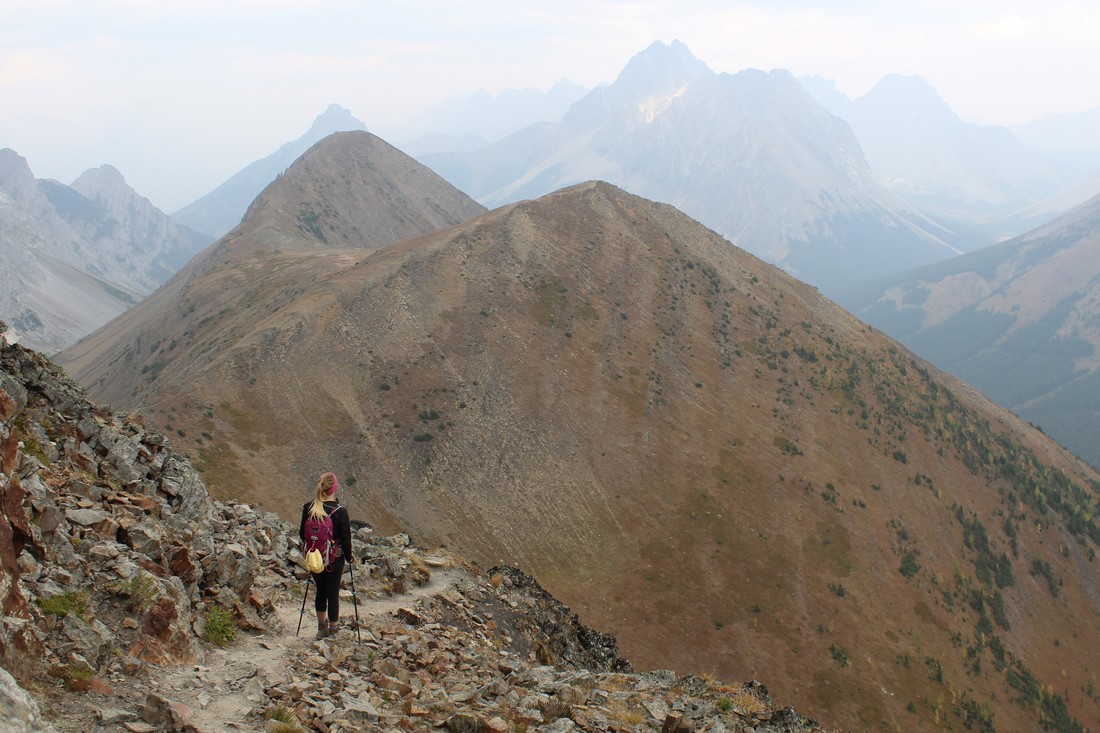 First things first, this is an amazing fall hike! Make your way down Hwy. 40 to the Highwood Pass Day Use Area. This is the starting point for the hike. Follow the well-used trail north until you see a small trail peel off to the left. If you hit the crosswalk crossing Hwy. 40 you have gone too far meaning your still on the trail for Ptarmagin Cirque. Once you have veered left, follow the trail up and down through the woods. This portion of the hike is fairly easy to follow; just keep your eyes open for ribbons marking the way. After a couple km’s you will find yourself at the bottom of Pocaterra Mountain and you will be able to see exactly where you are heading – up that steep grassy slope. It’s a bit of a sludge getting to the top but once your there find comfort in the fact that this is the highest point of the hike. The views from this first summit are amazing! Make sure to bring a warm layer and windbreaker as it can get pretty windy on the ridge. For many, this is the turn-around point. However, if you are planning on hiking the entire ridge, follow the well-trodden trail up along the ridge. From here, it’s a matter of sticking to the trail and making your way up and down the remaining summits. One of the great things about this hike is once you’re on the ridge; you stay there for a long time. This means tons of time taking in all the amazing views. After the 3rd summit, you should be able to see a forest of yellow larches. We had the best time walking through the yellow forest. From here, you continue along the trail until you make a very steep descent back to the highway ending at the Little Highwood Pass Day Use Area. From here, you are about 7 km’s away from your vehicle at the Highwood Pass. We had planned on hitchhiking to get a ride (don’t worry mom, there was three of us), but thankfully we met a kind stranger on the trail who offered us a ride. Most people either plan on having two vehicles (one parked at each day use area), or they summit the ridge and head back the way they came. We did this trek on a Saturday so we were confident we would be able to hitch a ride. However, its best to be safe and do what you are comfortable with. Overall, I would give this hike a high rating. I would recommend hiking the ridge from South-North. That way you get the steepest part out of the way. It also means you won’t be dealing with ‘false summits’ all day long. Thanks for the fun day Jenny & Rachel. Cant wait to do it again next fall! Happy Trails, Cassie * Starting Location * Ending Location
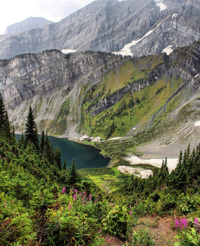
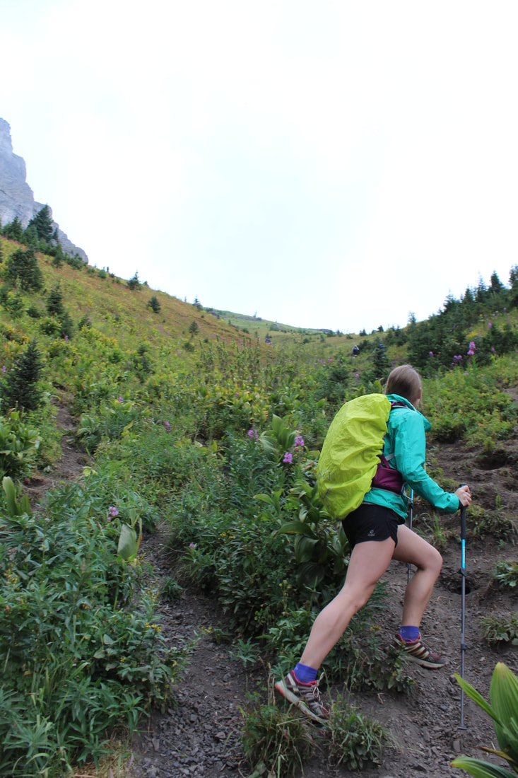
 Wes, David and I set out early Sunday morning. The trail head starts at a small parking lot along Owen Creek. There is no signage for this trail head so you will probably need to use some sort of gps to locate the small parking lot. The trail follows Owen Creek and before long you will find yourself at an amazing canyon! At points you can cross the canyon with a small jump as the water rages below. The trail continues along Owen creek with some sharp inclines here and there. The trail is well marked for the most part, although there is a lot of dead fall you will have to step over. It’s hard to give accurate distances since this trail is pretty remote and uncommonly used. We had downloaded an offline map from AllTrails to keep us on track. Splitting off from Owen Creek you follow the trail up another unnamed creek. This portion of the hike is brutal! Its steep and unrelenting. You will probably lose the trail a handful of times due to washout on the riverbank. If you keep following the trail and continue the slog up you will eventually come to a small campsite on a tiny ledge above the river. We didn’t make it this far with our overnighter packs. We had left them a couple km’s below since we wanted to reserve some of our energy. This creek has some really interesting waterfalls and pools which we great for a quick dip and refilling our water bottles. The creek will meander in and out and eventually you will find yourself at the bottom of a large pass. In order to get to Michelle Lakes you will need to trudge over this pass. However, once you are at the tip-top you will be granted with an amazing birds eye views of Michelle Lakes. We decided to hike down the other side of the pass and check out the lakes. I have never seen such a beautiful, remote alpine lake in my life. It was amazing! Wes and David continued to the far end of the bottom Michelle Lake where there is a giant waterfall descending 1000 feet off the face of a cliff. Unfortunately, I stayed at the first lake and attended to some blisters. It was hard to leave the lakes after we put in so much effort to get there, but our camping gear was about 6 km’s away. We made our way up and over the pass and headed back the way we came coming to our packs a couple hours later. In total, we were on the trail for about 10 hours and had trekked just over 20 km's. It was high time for a hot meal, foot soak and well deserved sleep. 10 hours later we woke up, had breakfast and took to the trail. From here it took us a few hours to get back to our vehicle. Overall, this hike was amazing, although it was extremely strenuous. I would allocate three days for this trip if I were to go again in the future. If you plan on taking this trip make sure you do all the necessary research. This is a remote area and it can be easy to get lost. We depended on a downloaded map, and I did lots of research beforehand. Fun Fact: This trail is a small portion of the Great Divide Trail which spans from Waterton to Northern BC. You are bound to meet a couple thru hikers if you hike this in the summer. Happy Trails, Cassidy  Hike # 20 is one that will stay with me for a long time. Gina, Karya and I headed out with hopes of reaching Triple Punchbowl Falls, a small feature point off of the Coral Creek Canyon trail. We started on the south side of the Cline River and made our way along the well marked trail. Once reaching the lookout point, we followed our guidebooks instructions and took the trail off the ridge to the banks of Coral Creek. We knew the falls had to be somewhere up ahead but the guide book didn’t give very thorough instructions. We stayed on the main trail and finally made the decision to walk ten more minutes and if we couldn’t find the falls we would turn around. Hot, tired and a little frustrated we trekked on. This is where things took a turn. All of the sudden we heard an unfamiliar noise coming from behind us. It’s hard to explain exactly how it sounded, but it was loud and even thinking about it now makes my spine crawl. For the first few moments we were all confused, wondering what the noise could be. And that’s when it set in. We turned around and about fifteen meters from us a grizzly bear was charging us through the bushes. The next twenty seconds is a blur for me. We had our bear spray out within seconds and all stood side by side. I was honestly preparing myself for the worst. Thankfully, the bear abruptly stopped charging and we were able to slowly back out of the trees and hop down onto the riverbank. Getting out into the open was our main priority. I was fully expecting the bear to follow us but it remained in the trees and out of sight. From here, we checked in with each other and kept our hands gripped around our bear spray. I can honestly say that I have never been more scared in my life. From here, we followed the riverbank and made a quick dash to the trail which took us back up to higher ground. At the top we all agreed that we had been too quiet. So focused on making it to the falls that we let our guard down. The trail we had been on was wedged between the river bank and a mountain so the woods in between were only about 20 meters deep. This means that all three of us walked directly past the grizzly without being aware of its presence. I am sure he was bluff charging us because we startled him and he wanted to make his presence known. I am so thankful that we all had bear spray and stuck together. After this encounter I cannot stress how important it is to continually check the trail for signs and continually make noise. I am humbled by the experience and have a renewed respect/fear of nature and the creatures that call it home. ELEVATION: 350-400 meters (approx) DISTANCE: (13-14 km round-trip to three-tiered waterfall)
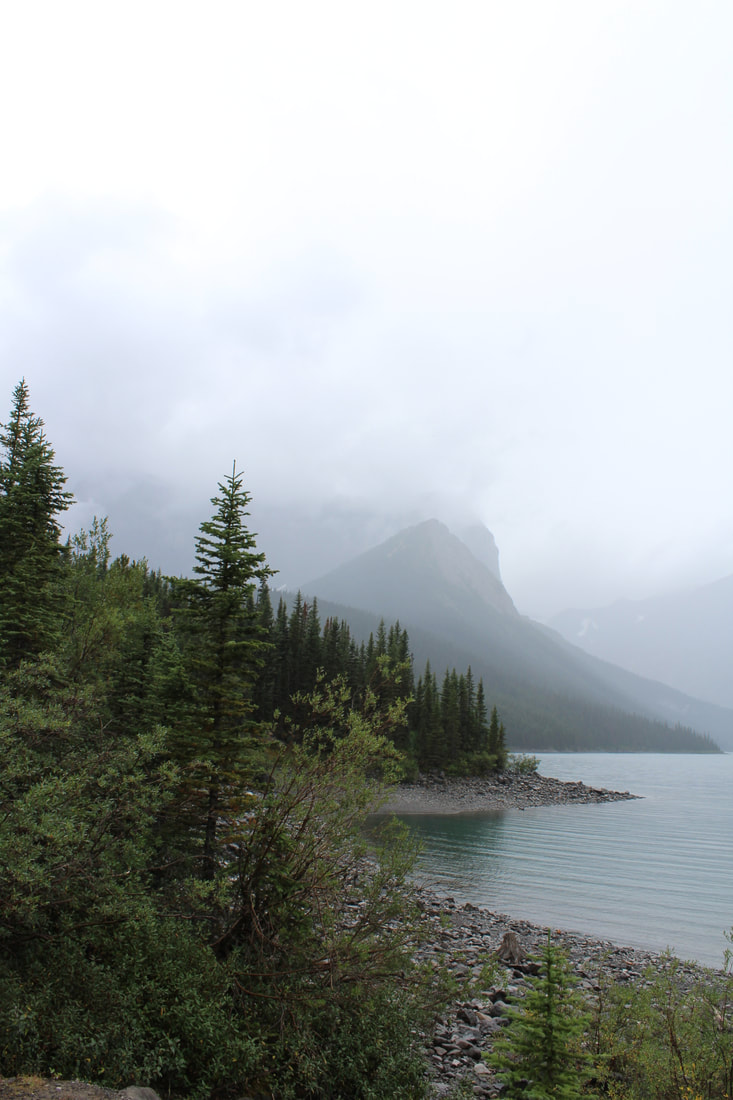
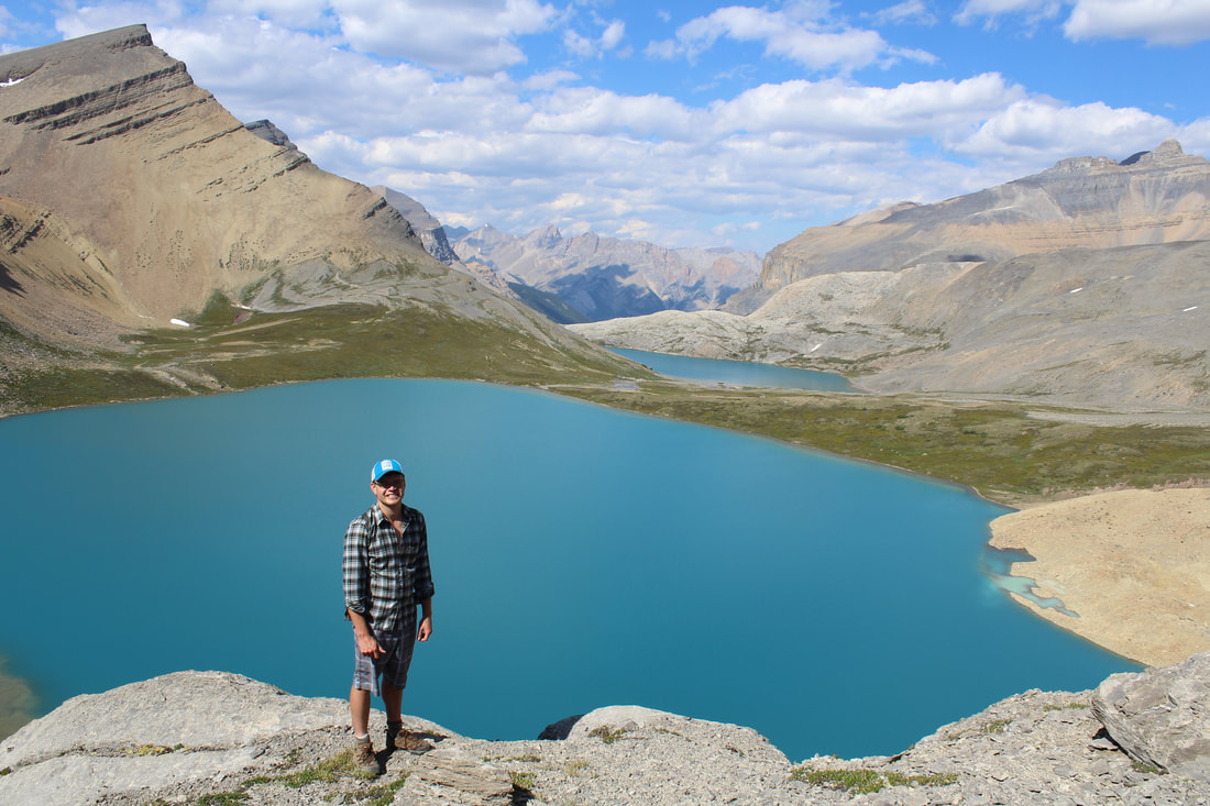
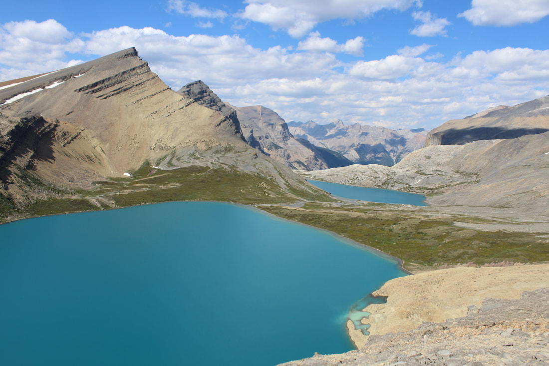
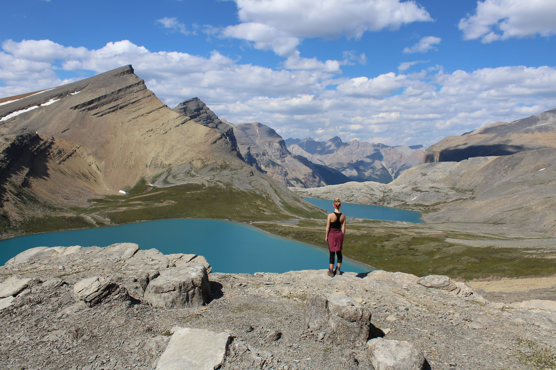
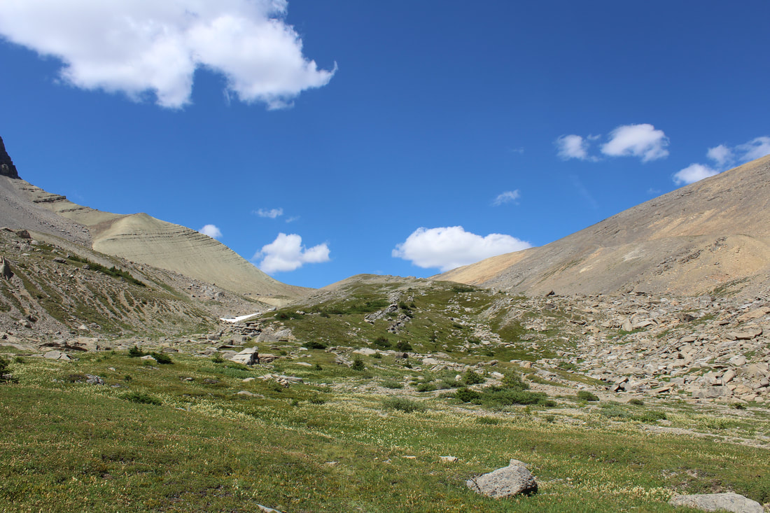
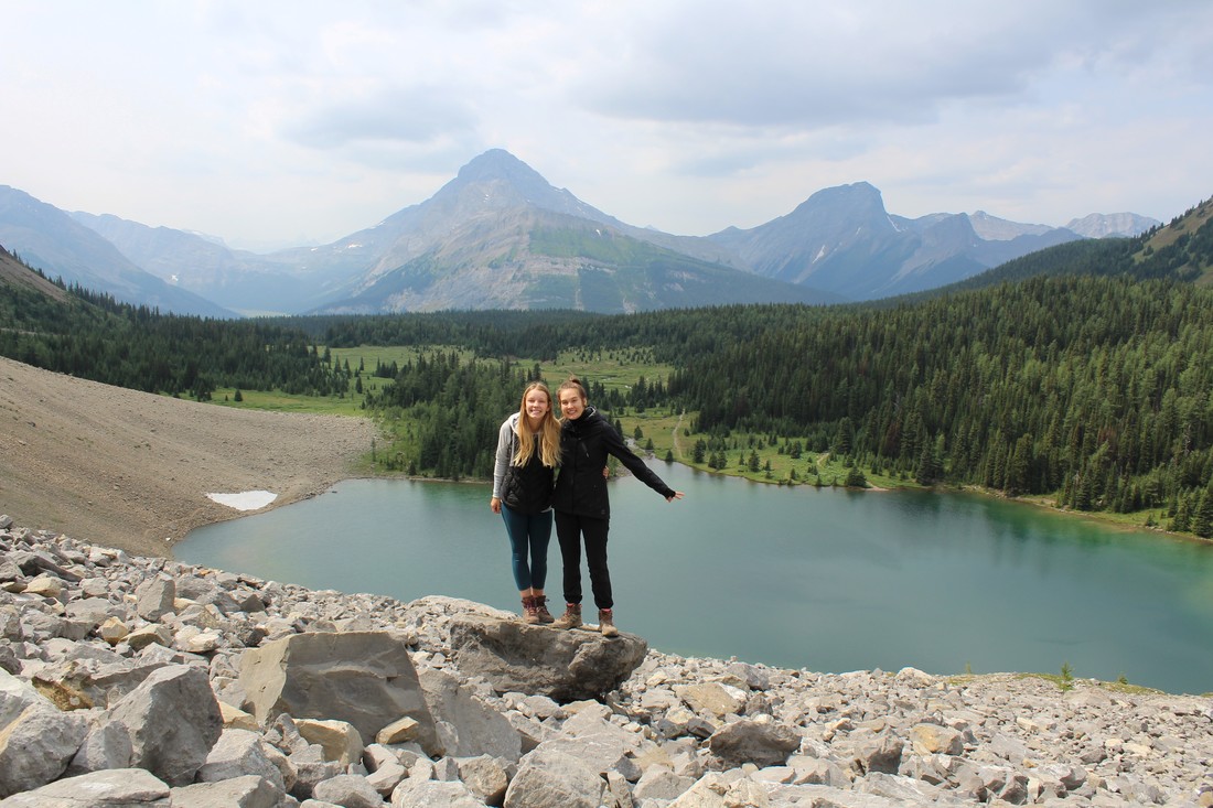
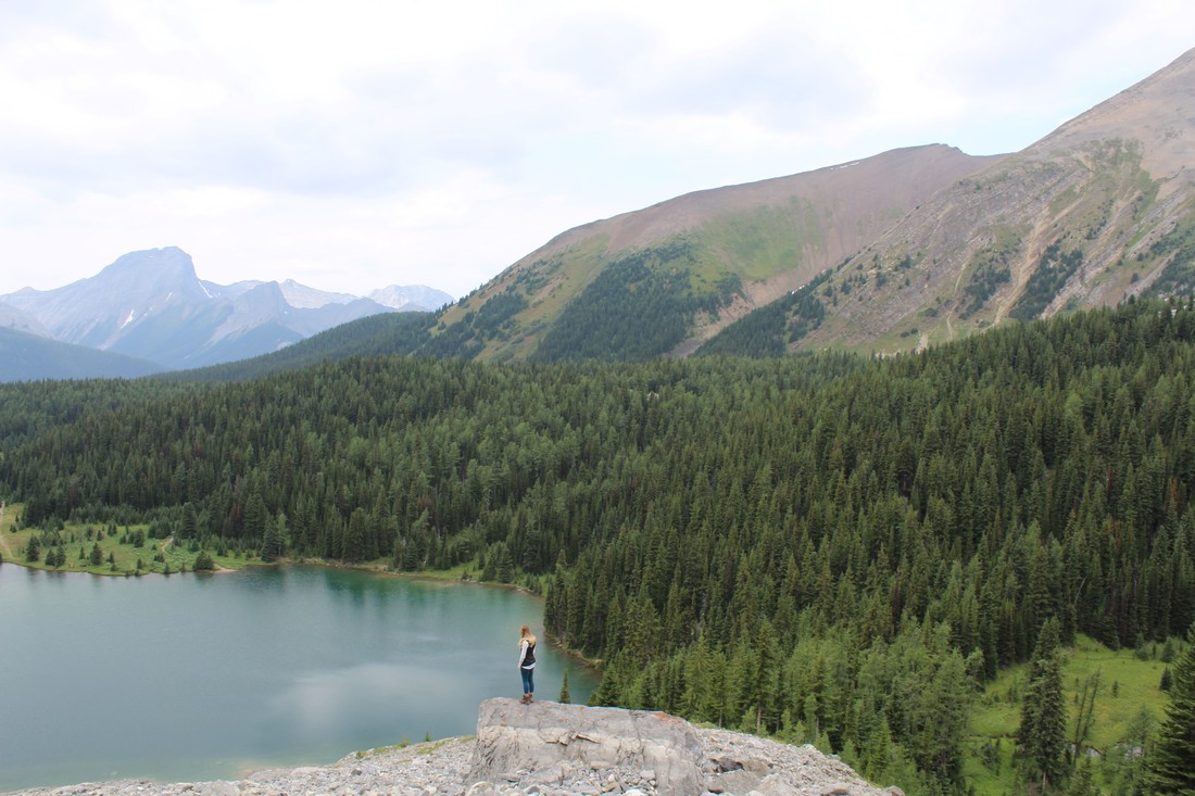
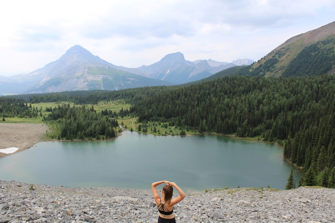
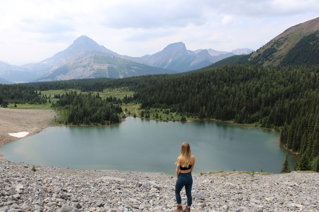
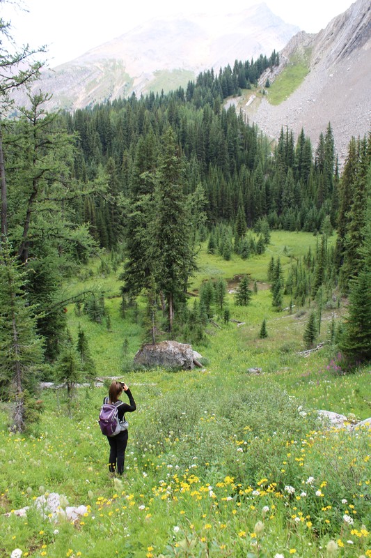
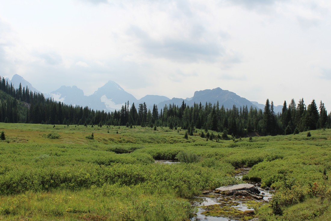
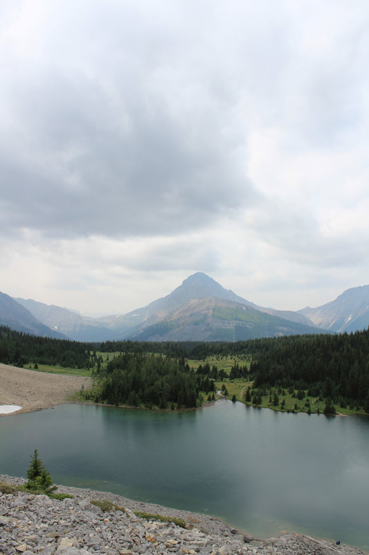
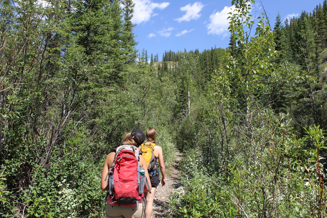
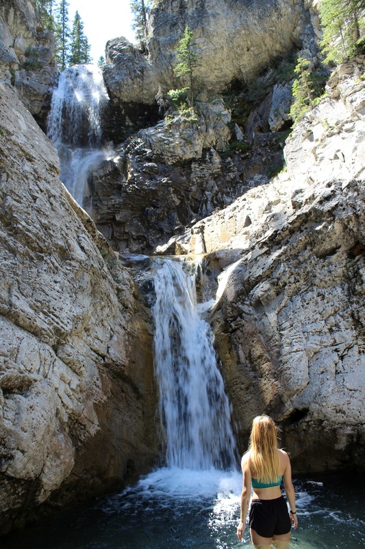
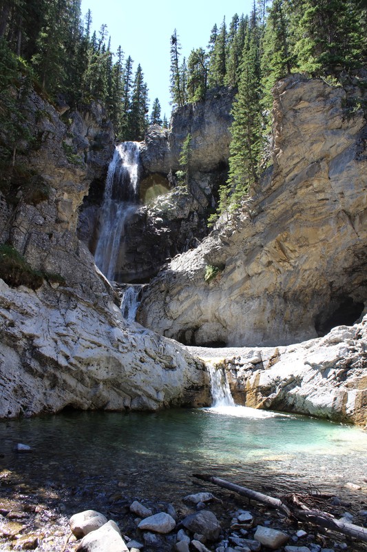
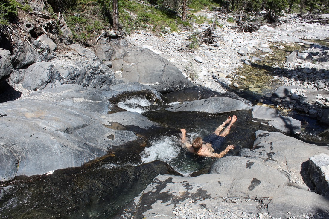
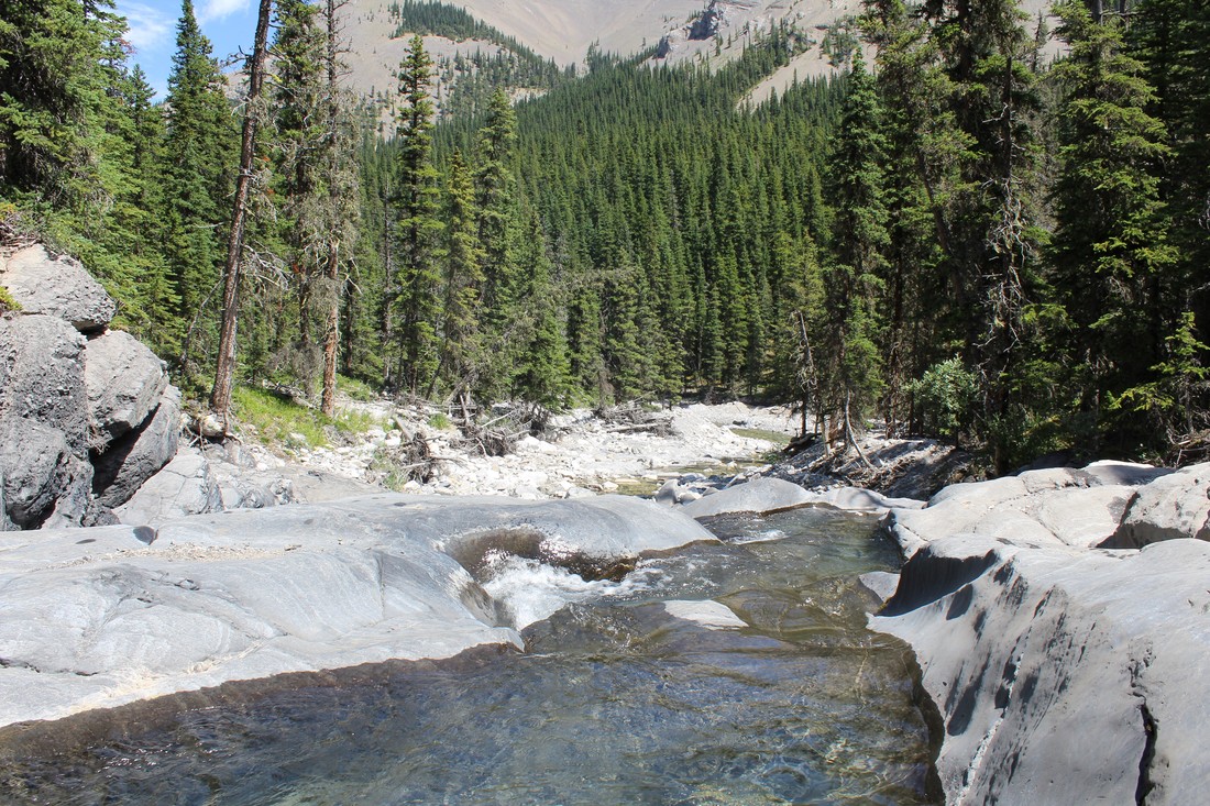
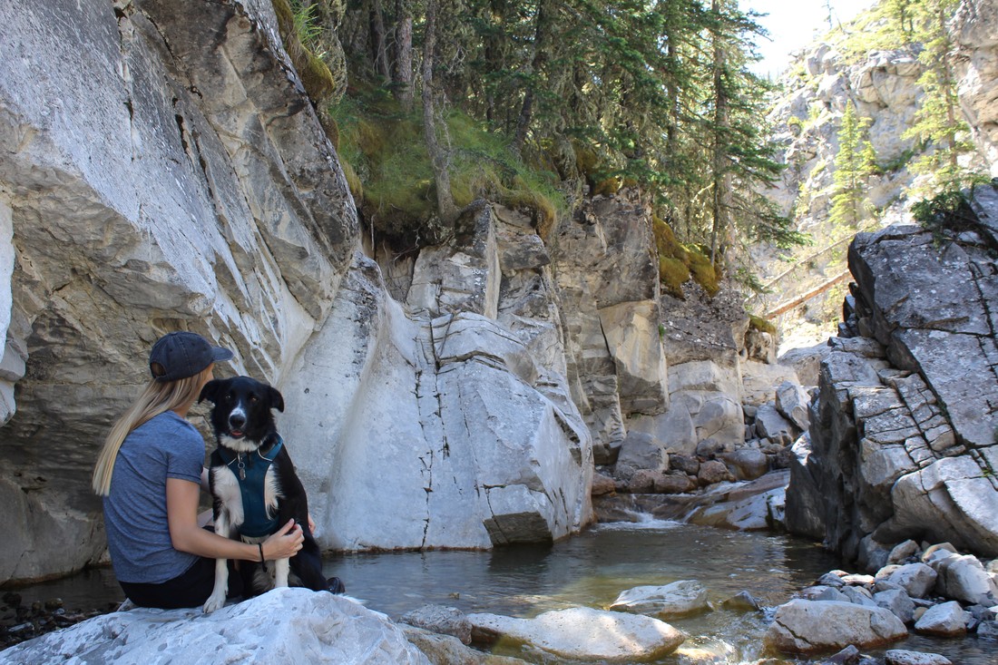
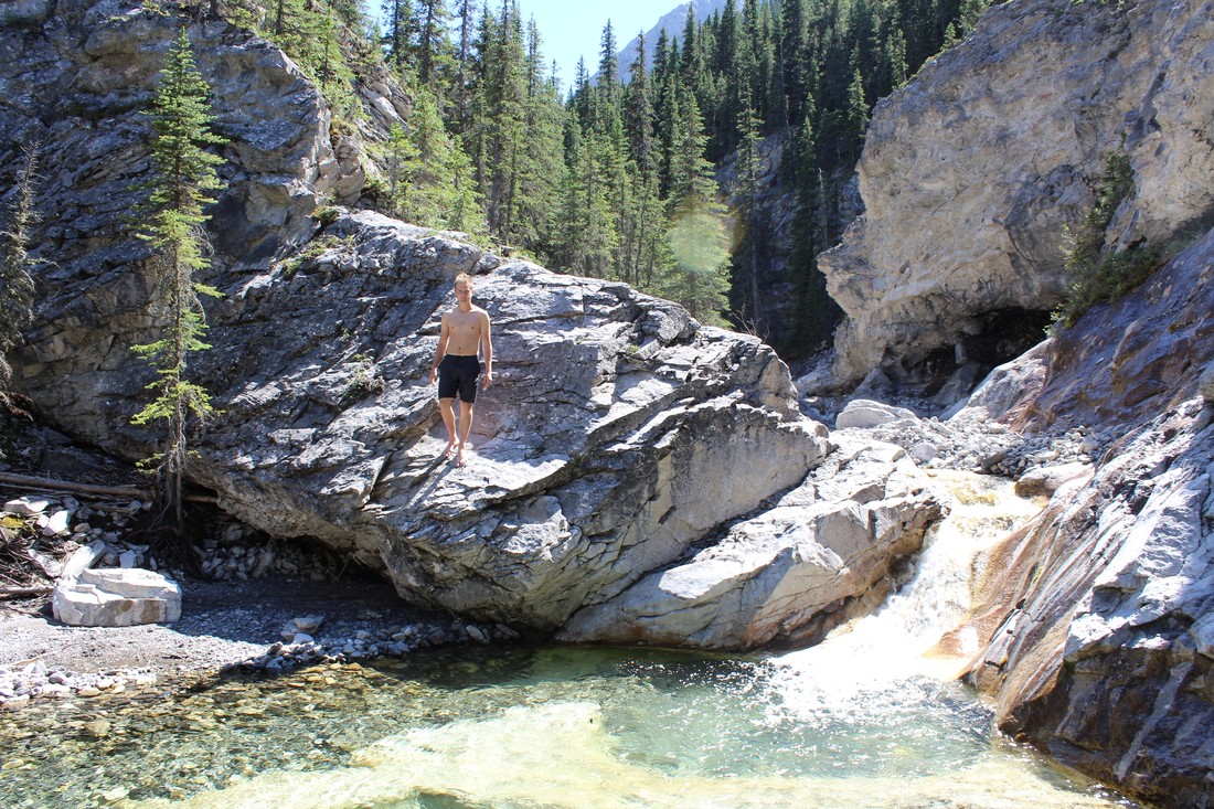
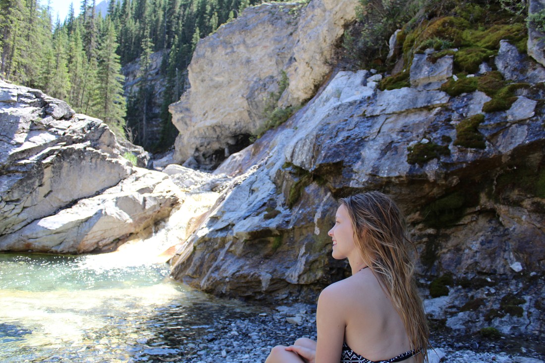
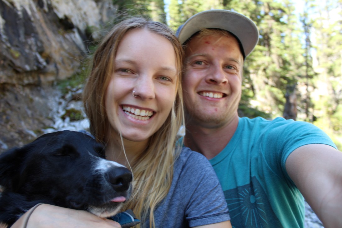
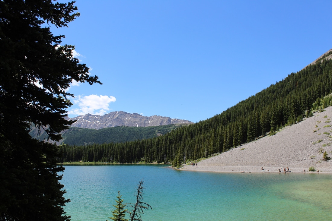
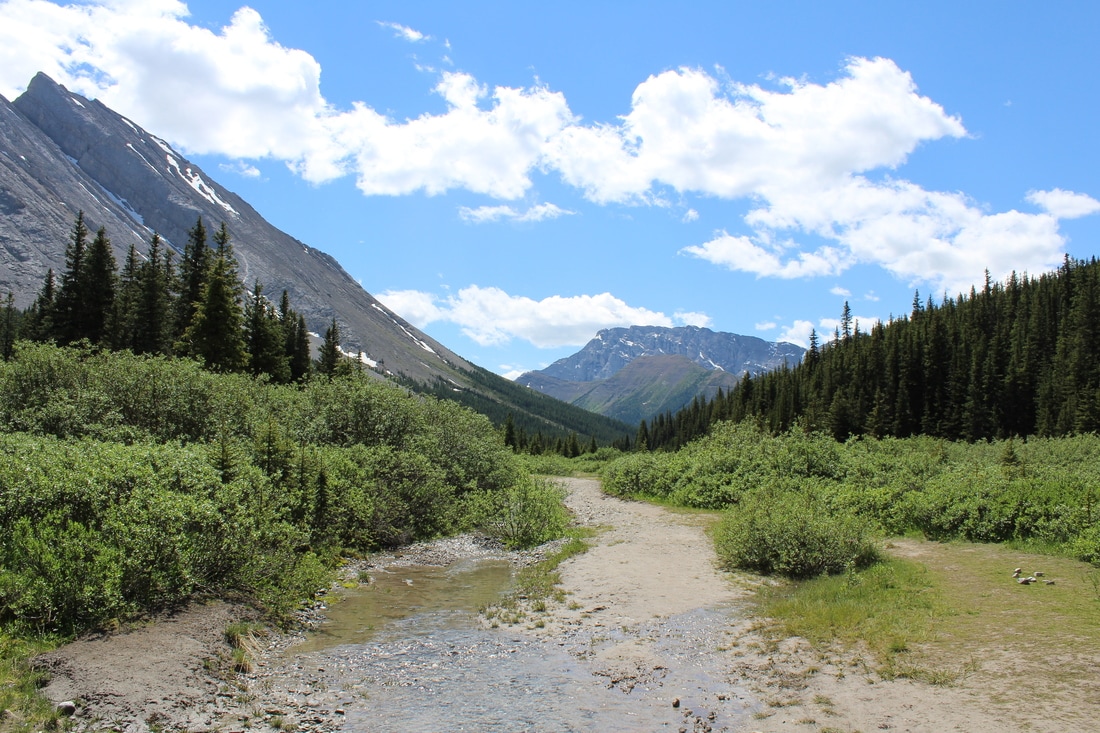
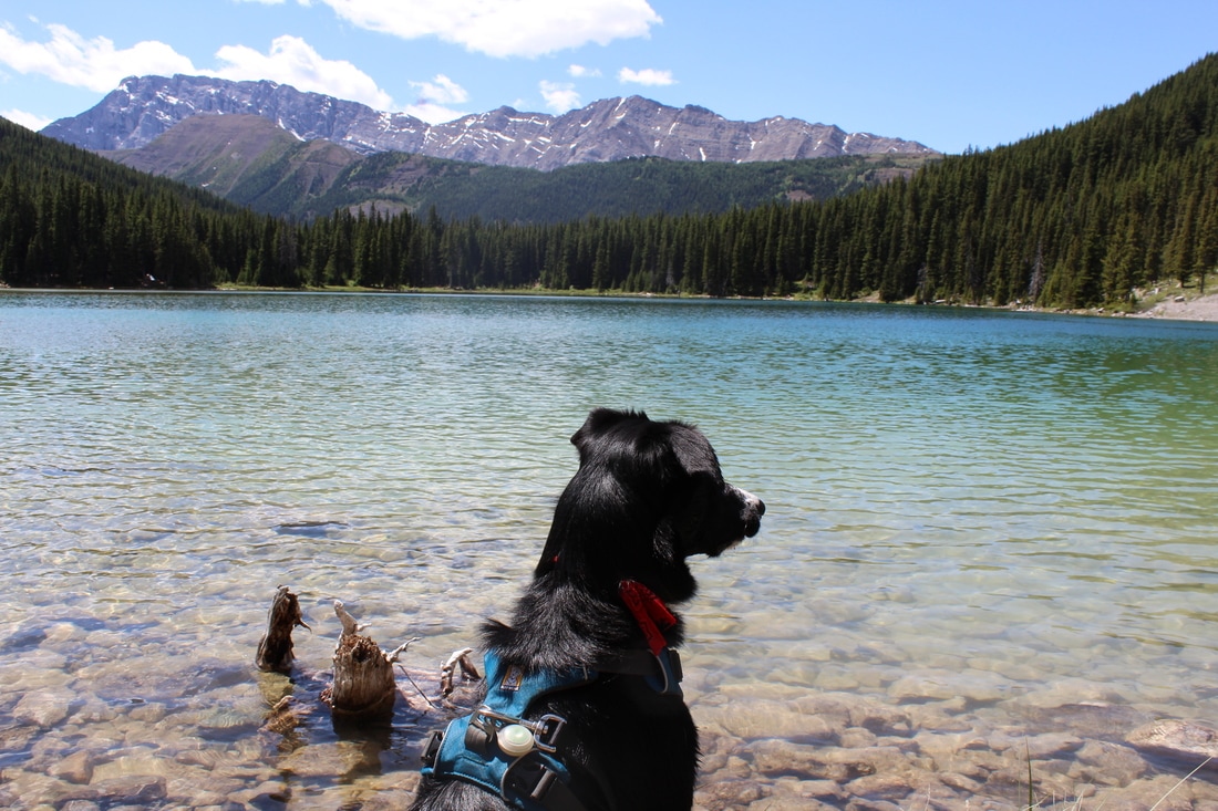
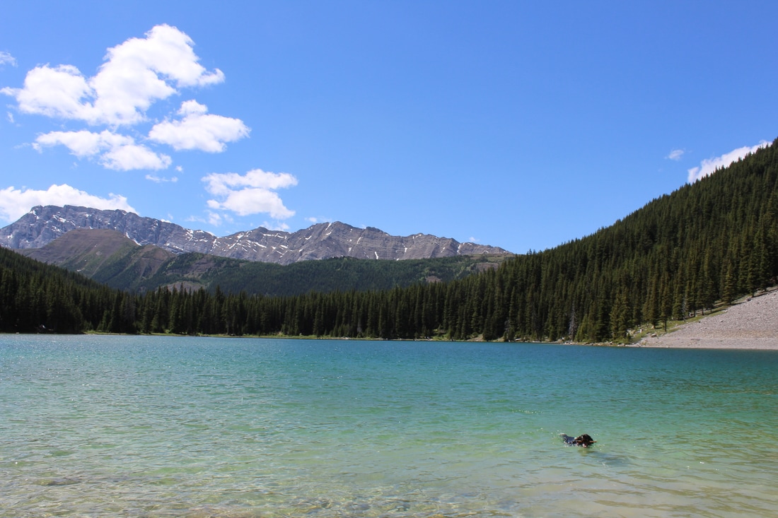
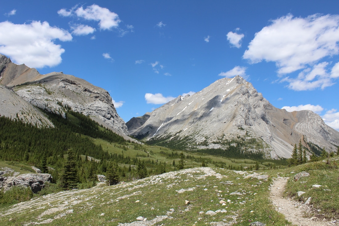
Another lovely hike for the books. This weekend Wes and I headed to an area neither of us has visited before. We made our way south of Calgary and turned off at Okotoks. Then we headed west through Black Diamond and Turner Valley. From here, it's a matter of following Sheep River Road (Hwy. 546) right through Sheep River Provincial Park. The trail head for this particular hike is at the very end of the road: Junction Creek Day Use Area. Head through the picnic area down to Sheep River. This next part is tricky. In order to access the main trail, you will need to cross Sheep River. This isn't always possible, depending on the time of year, so I would recommend doing this hike from mid-late summer. You should be able to see a trail on the opposite side of the river. We noticed a yellow provincial park boundary sign which is a great marker when you are looking to cross. After crossing you will follow a wide trail (old logging road) heading south for about 4 kms. At around three km's you will notice a portion of the trail that is covered is sawdust; remains from the old saw mill site. At 4 km's you will reach a junction. The trail to the right heads up to Junction Lake. The trail heading left will take you past a small 3 log high cabin to a small creek. This is a perfect spot for a break. The creek has lots of pools which are perfect for taking a dip in. From here, cross the river and continue along the trail for another 2.5 km's. This portion of the trail takes you along Junction Creek. The trail stays on the right side of this river bank. It can be easy to lose the trail here, so keep your eyes open for pink ribbon and/or the trail heading back into the trees. Next, you climb for some time until finally reaching a small creek which is home to these beautiful falls. You will know you are in the right spot when you see some small unofficial campsites and fire rings. You will first come across a small two tier waterfall. If you plan to continue hiking the main trail (which continues south for another 4 km's) this is where you would cross the river and continue on the trail. If your destination is the three-tier waterfall don't cross the creek and continue following the trail on the right side. After a couple of minutes, you will arrive at the beautiful three-tiered waterfall. If you are brave enough you can take a swim in the freezing cold water. The trail also continues to the top of the waterfall if you want another viewpoint. It looks like the trail went even further, but we didn't check this part out. Wes and I wanted to hike a bit further on the main trail, so we headed back down the creek and crossed near the small two-tiered waterfall. After about 1 km you will reach another small creek with another interesting swim hole. We were planning on taking a swim here but the water was way too cold. We decided to make this pool our turn around point. In total, the hike took us about 6 hours with numerous breaks. The trail itself is quite flat (until you reach the last stretch to the waterfalls). This is a shared trail, so be on the lookout for mountain bikers, horses and hunters. Happy Trails! ELEVATION GAIN: 120 meters DISTANCE: 1.3 km one way (to the lake)  Elbow Lake is a short, sweet hike to a pristine mountain lake. The 1.3km trail takes you from the trail head to the far end of the lake. Though it’s short, there are steep sections on the trail. That being said, the trail is wide and easy to navigate. This is a popular hike, so the trail will be busy, especially on a warm summer day. It’s also an equestrian trail so you may see some horses. The lake itself is beautiful and the valley beyond also stunning. We followed the trail into the valley for close to an hour. This part of the trail follows the Elbow River and is consistently flat with great views in every direction. We ended up crossing the river and climbing into a mountain cirque on Elpoca Mountain. Though there wasn’t a trail, we made our way along the grass and scree to a beautiful lookout. There is a lot to do once you make it to the lake. You can fish, swim and hang out at the lake or you can head into the valley for a walk, or make your way to the Rae Glacier. The trail for the glacier is located on the far SE side of the lake. We didn’t make it to the glacier on this day, but hope to return in the fall. Overall, I really enjoyed this hike. It is a great hike to do with the family as it’s a pretty short distance to the lake. I would suggest arriving a bit earlier to find parking more easily and avoid some of the crowds. Happy Trails. (note: Hwy 40 is closed annually from December-June) |