|
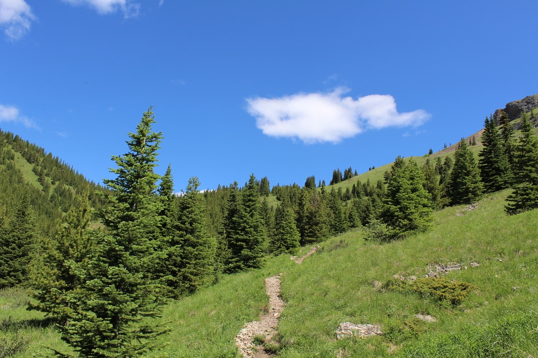
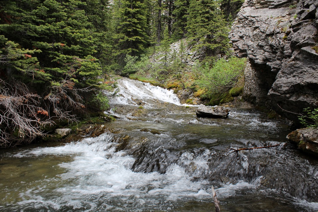
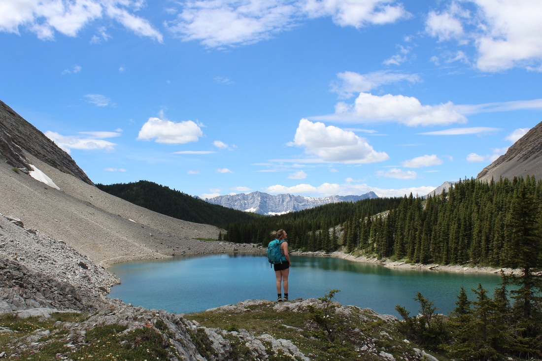
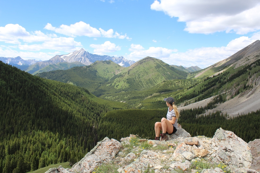
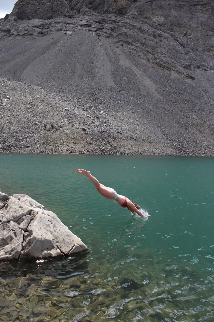
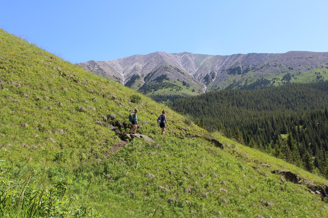
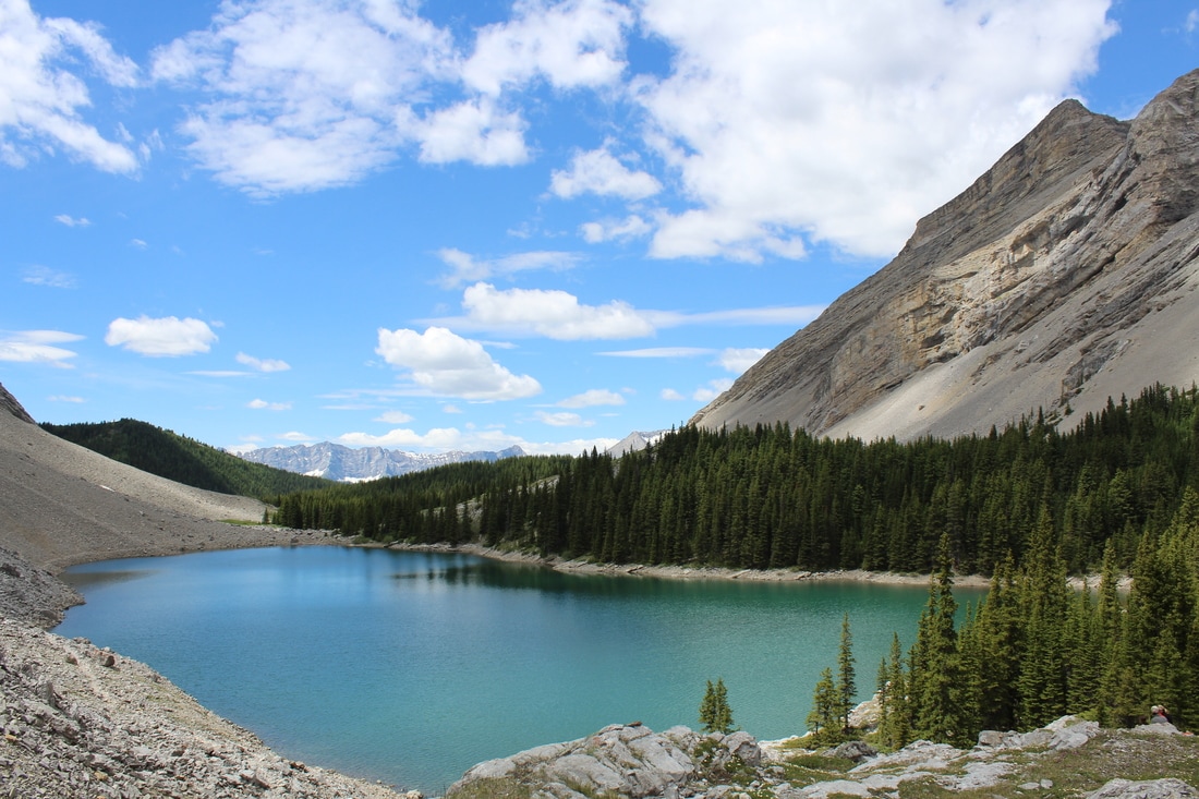
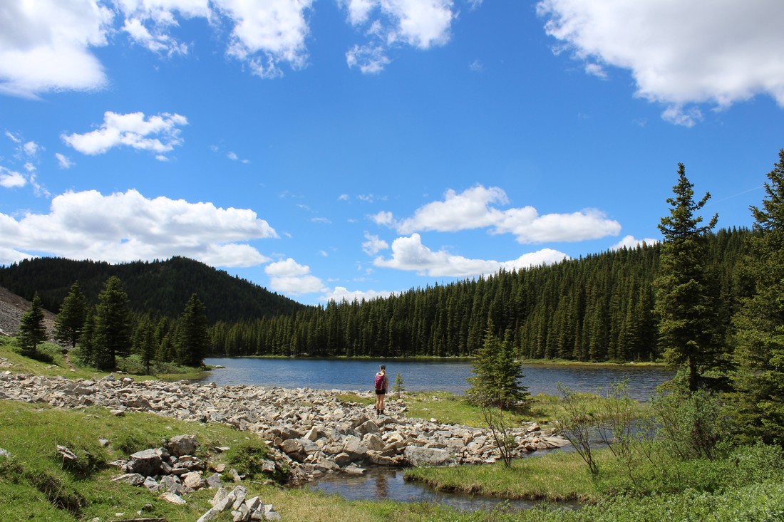
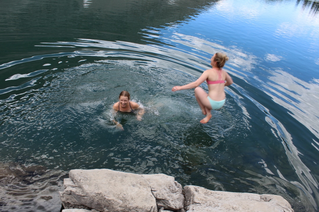
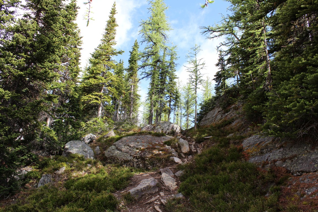
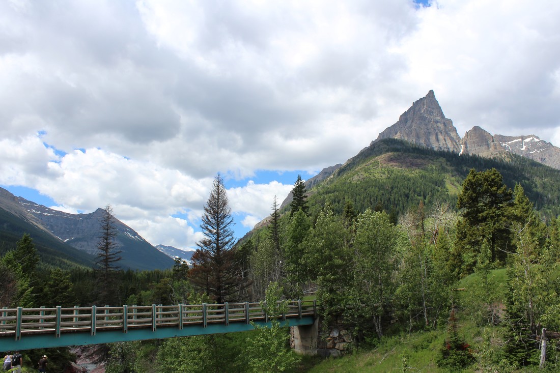
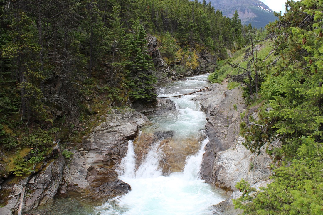
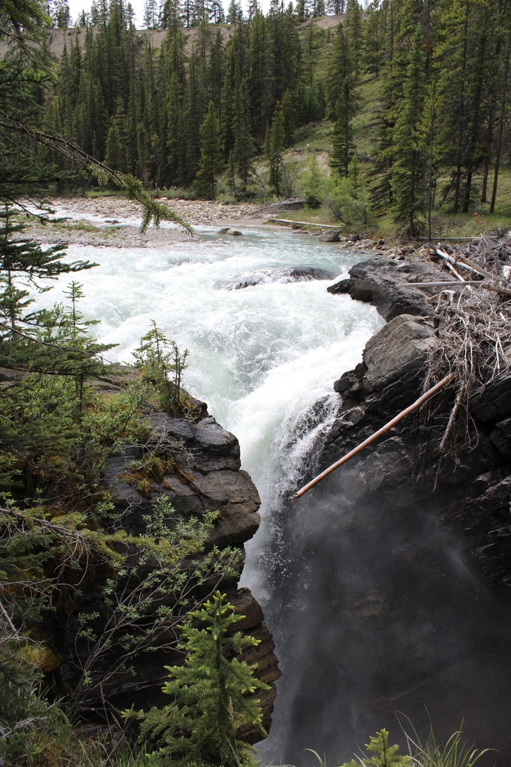
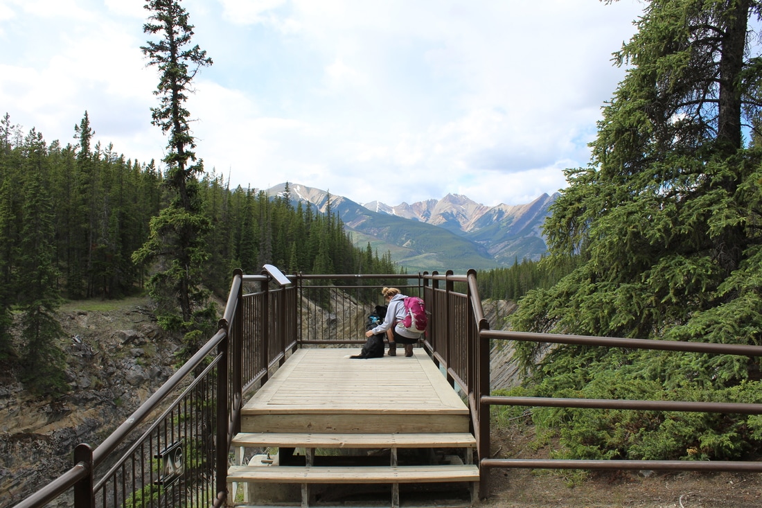
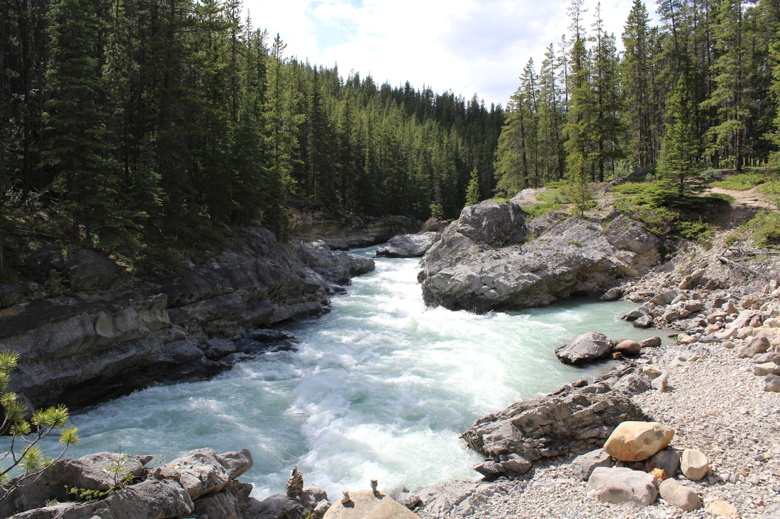
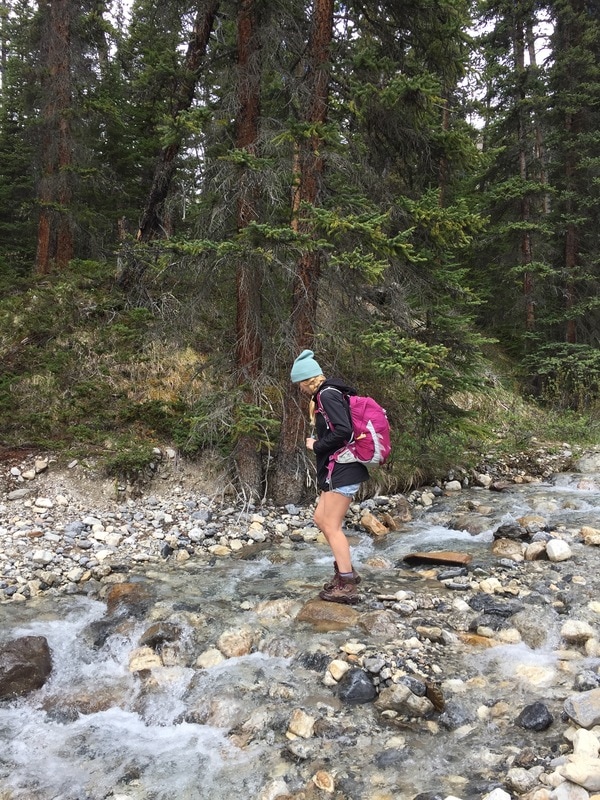
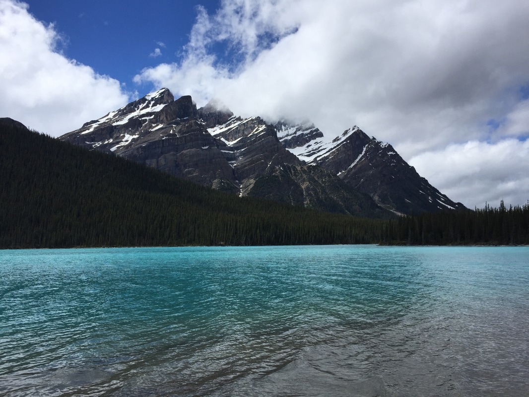
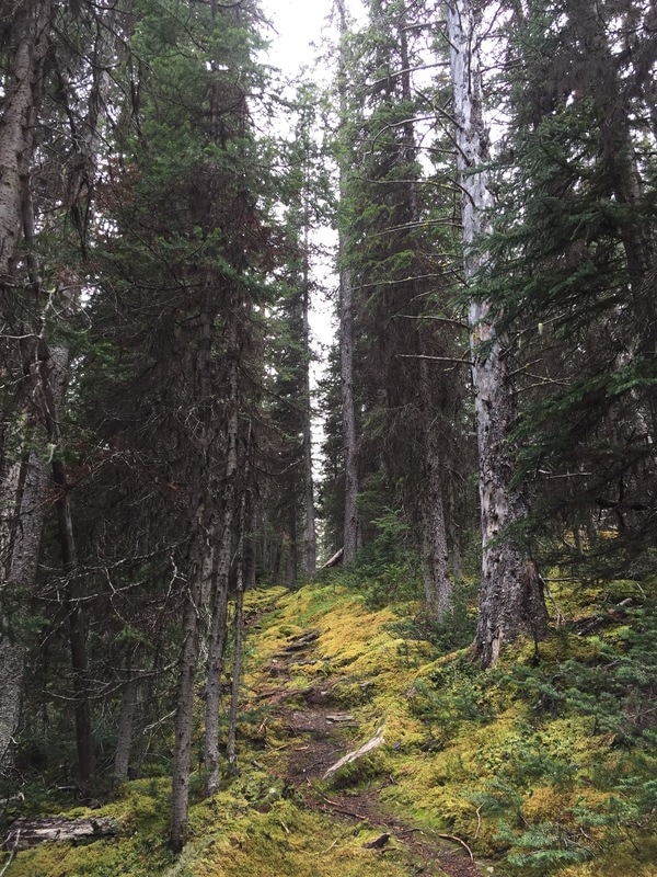
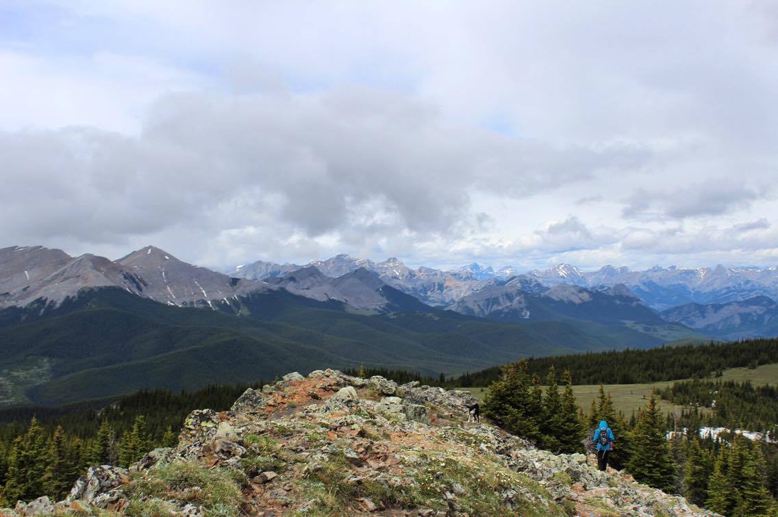
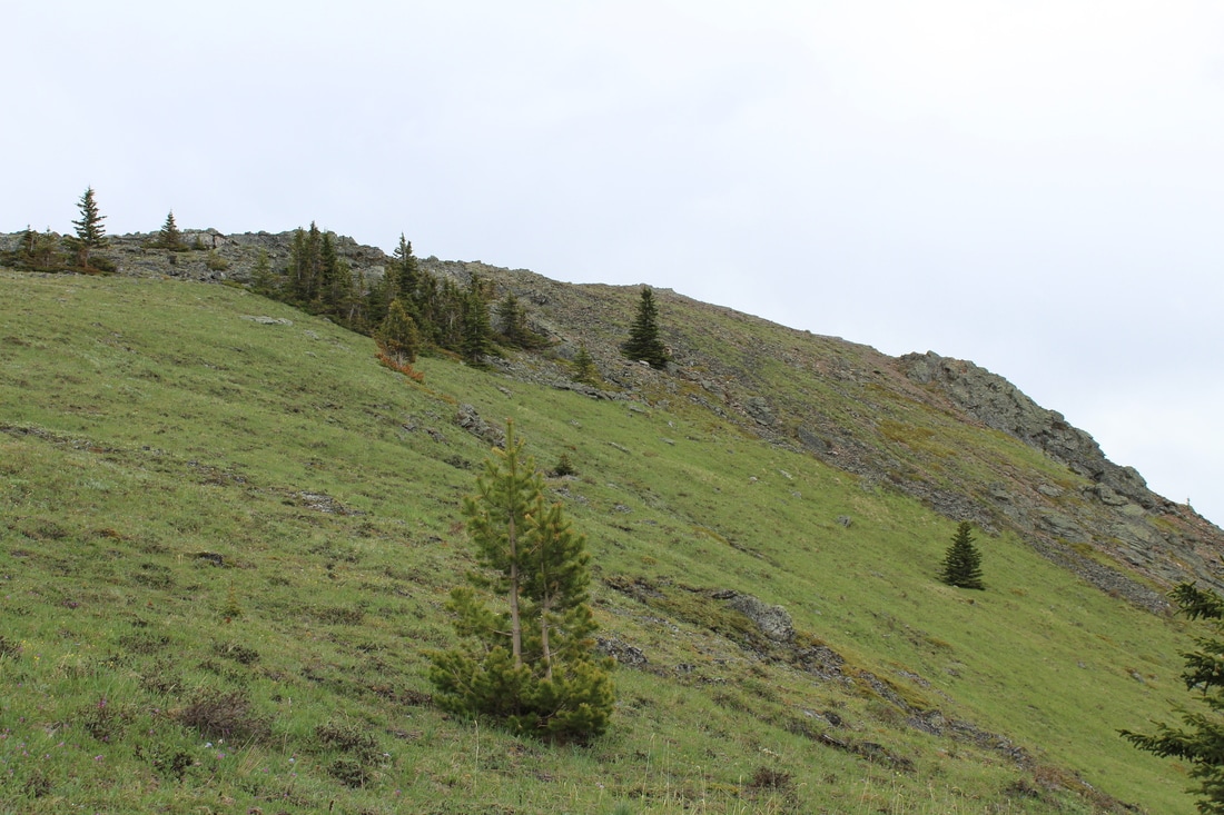
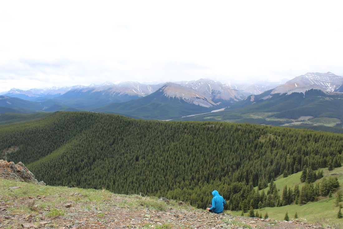
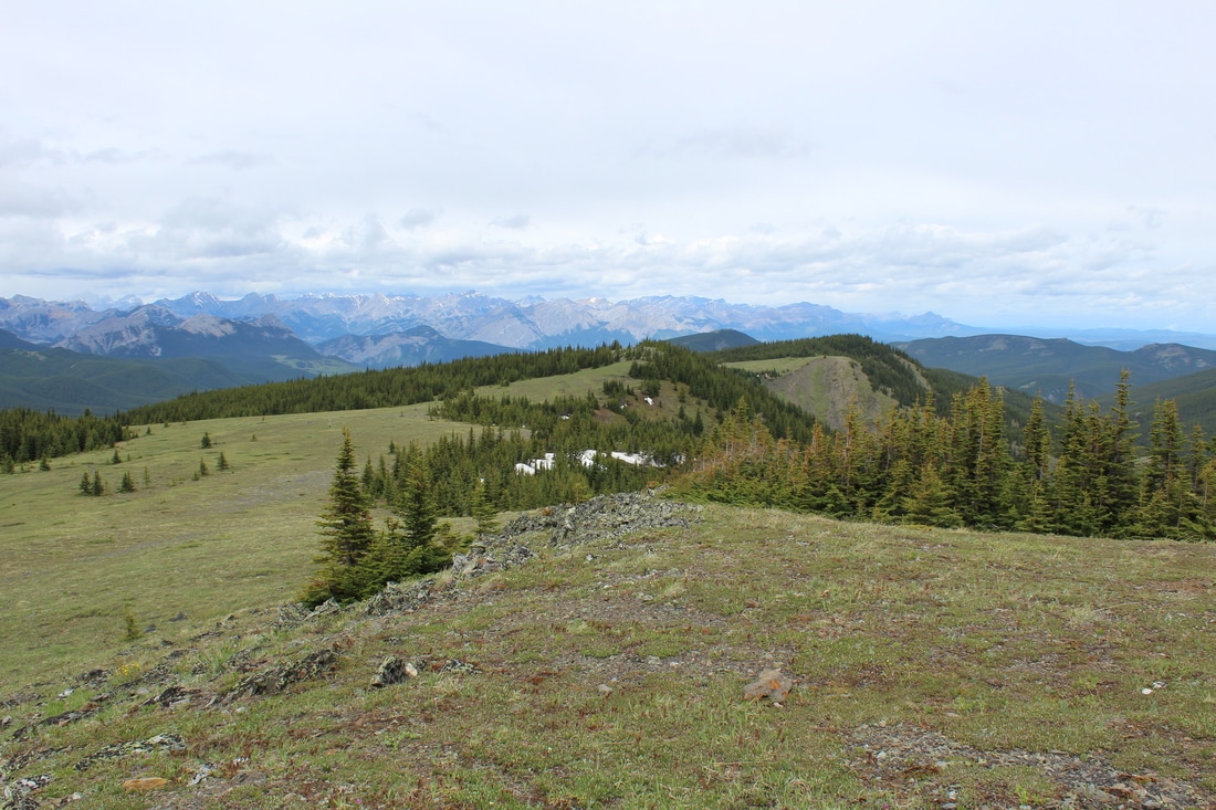
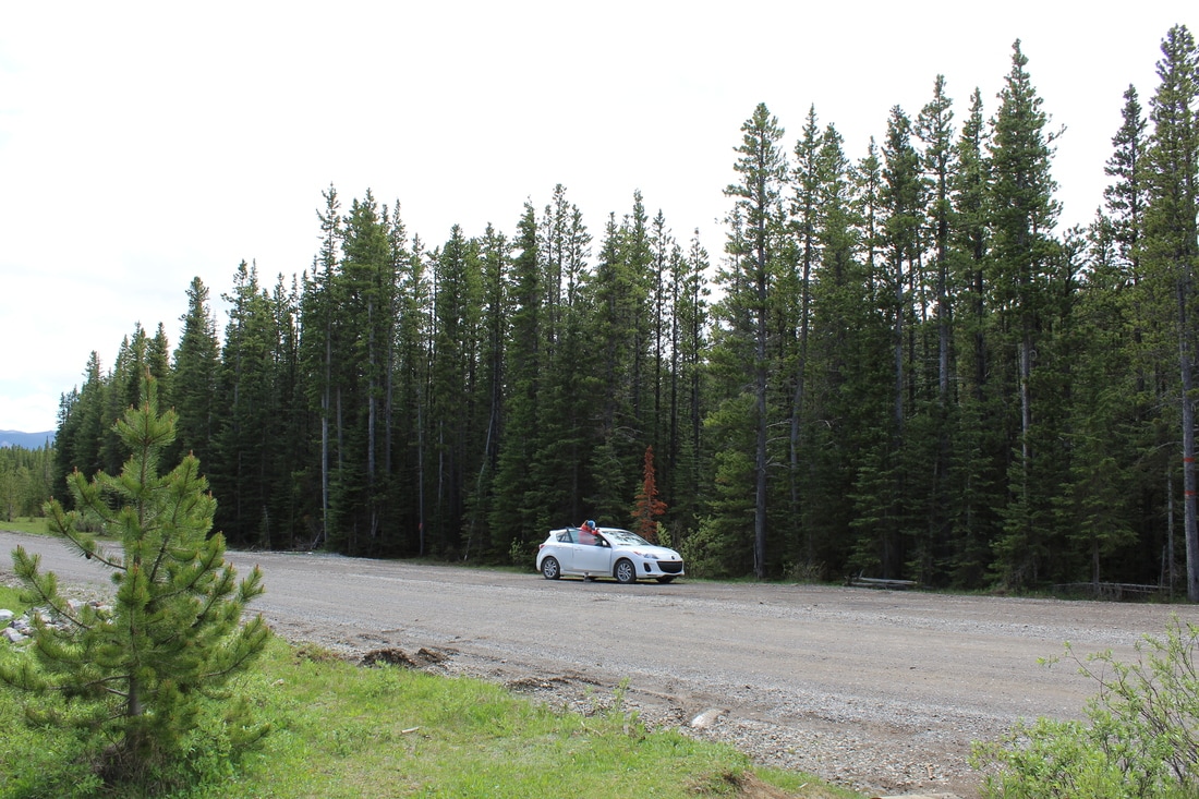
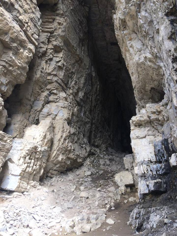
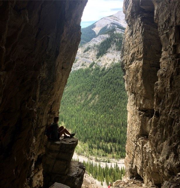
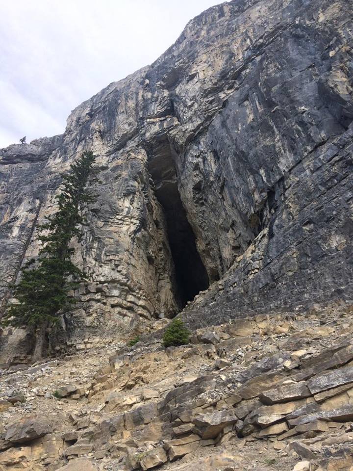
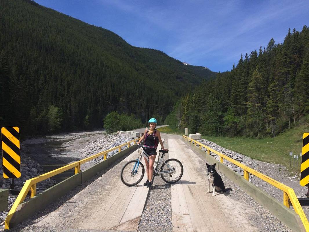
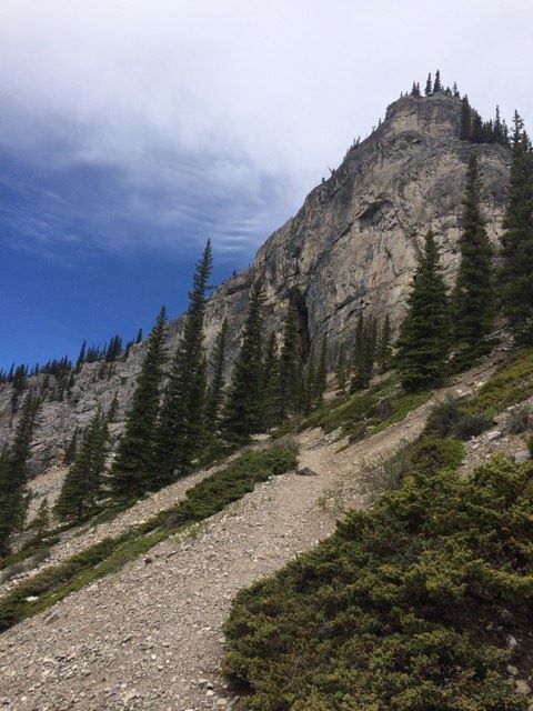
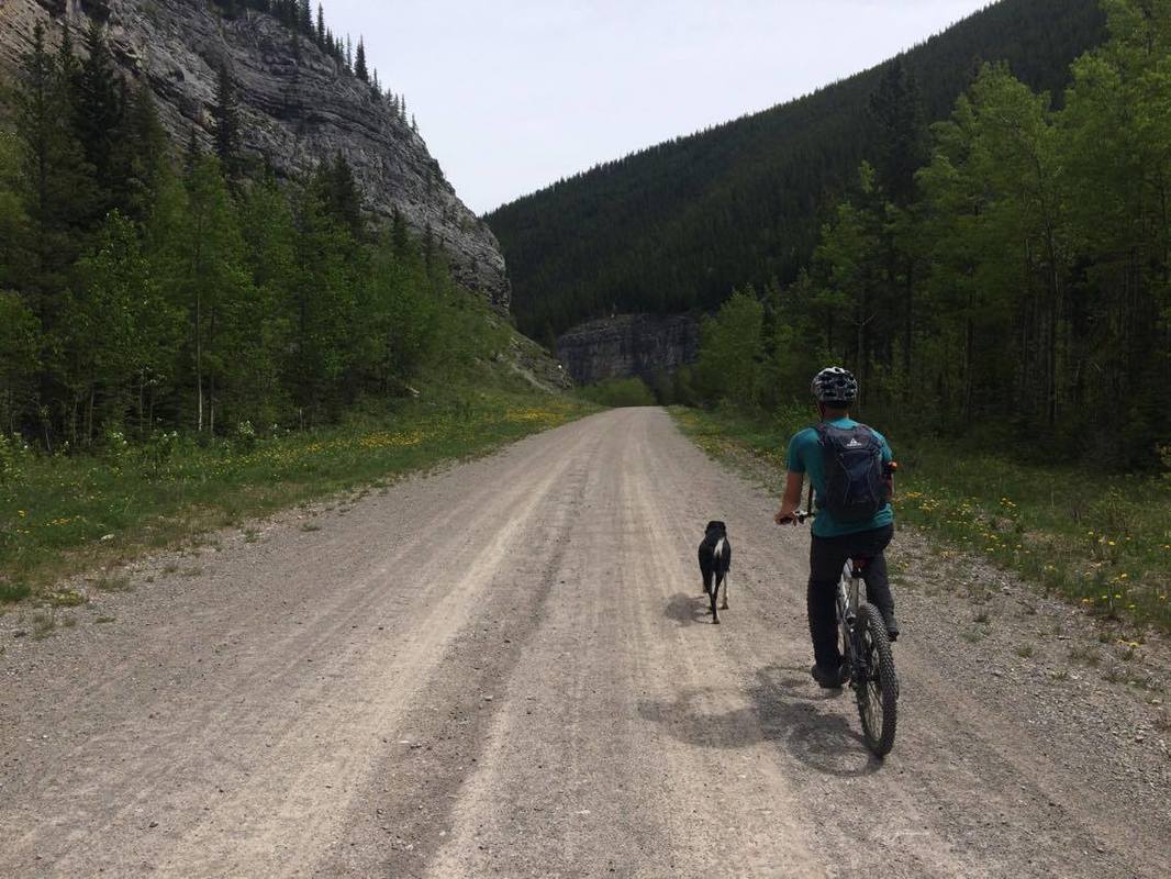
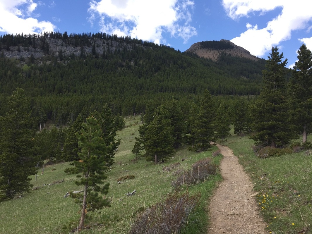
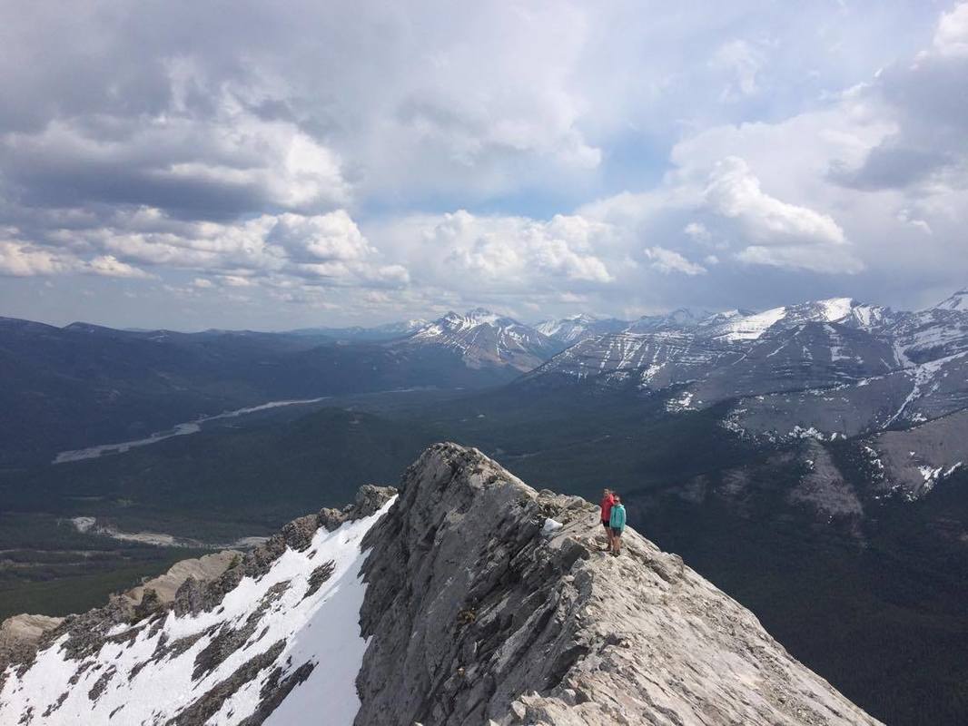
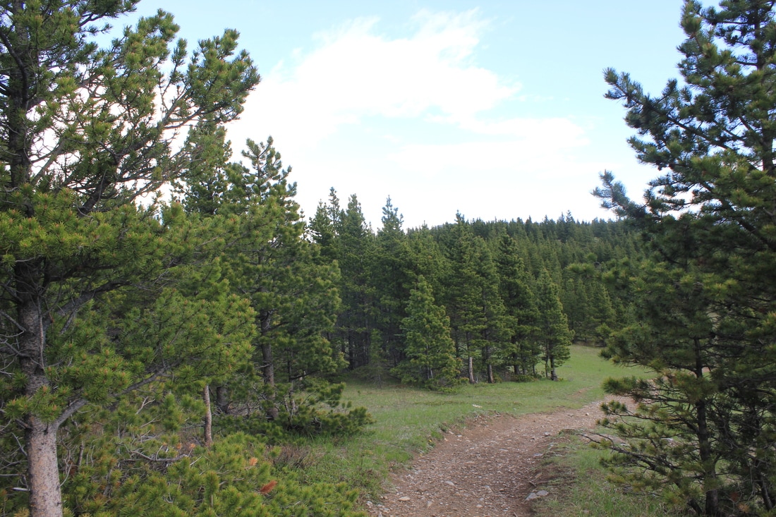
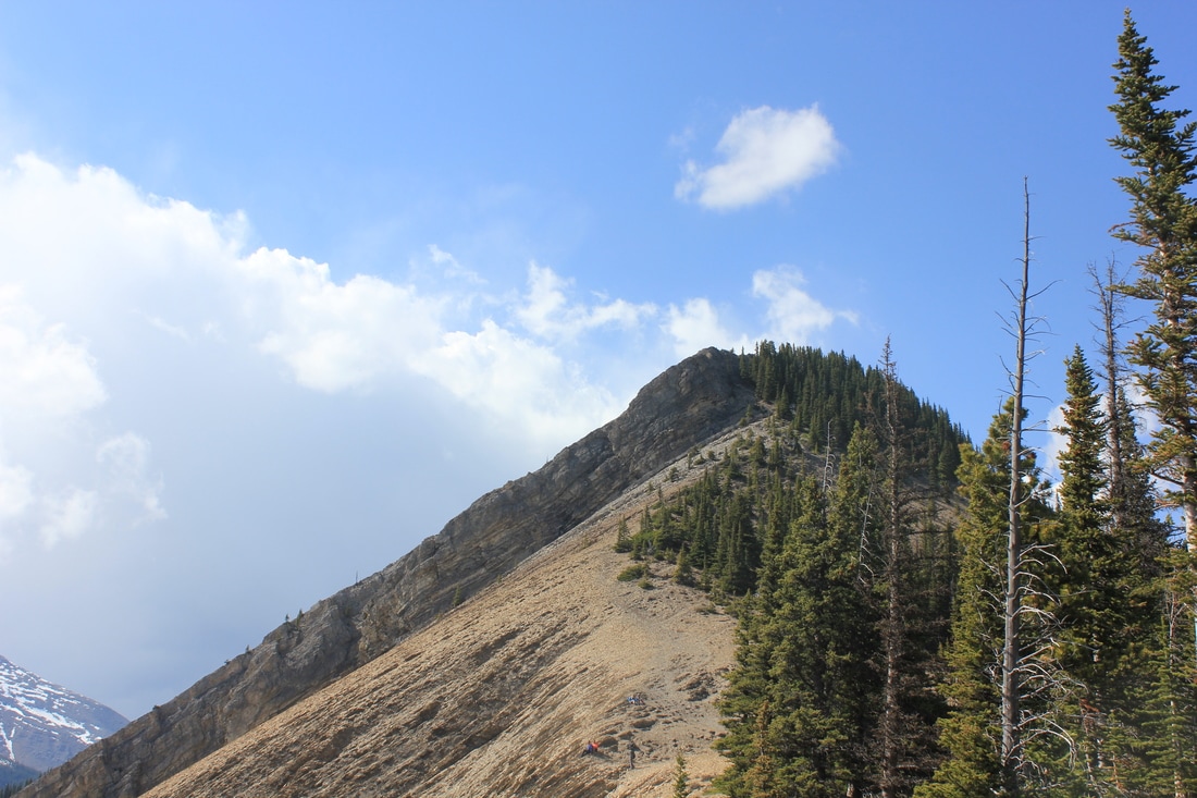
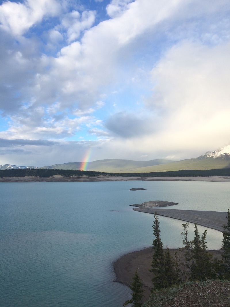
ELEVATION GAIN: 460 meters (to first lake) DISTANCE: 9-10 km round trip (to fourth lake)  Follow Hwy. 40 through Kananaskis 87 km south of Hwy. 1 or 60 km south-west of Longview. Park at the Lantern Creek Day Use Area. If you are coming from the north don’t stop at the Pickle Jar Creek turn off (which is closed). Continue north until you reach Lantern Creek. The hike starts in the forest and climbs steadily along a ridge snaking in and out of the forest. The trail heads left through more forest and crosses a short board walk. This area of the trail is a bit muddy. Eventually you will reach what we like to refer to as ‘the drudge,’ a portion of the trail that is quite steep and unforgiving. Continue up until you reach a flat portion in the trees. Here, the trail splits. We took the main trail that continues up into the trees. Further up, there is a slight junction. The main trail stays left following the outside of the ridge. The other trail heads right and takes you up onto Lineham Mountain. We took the trail left, since our destination was the lakes. The trail then takes you along the left side of the ridge and from here the first lake will come into view. Follow the trail as it descends off the ridge. There are a total of four lakes that you can access from the trail. There are numerous routes around the lakes, so just make sure that you continue to head east. All four lakes are beautiful in their own way. There is a small waterfall between the first and second lake which is a great little detour for on the way up or down. We ended up taking a polar dip in the third lake, which in my opinion was the most beautiful lake. Retrace your steps to get back to the first lake and from here take the main trail back to the trail head. Happy Trails Note: Hwy 40 is closed from December - June annually.
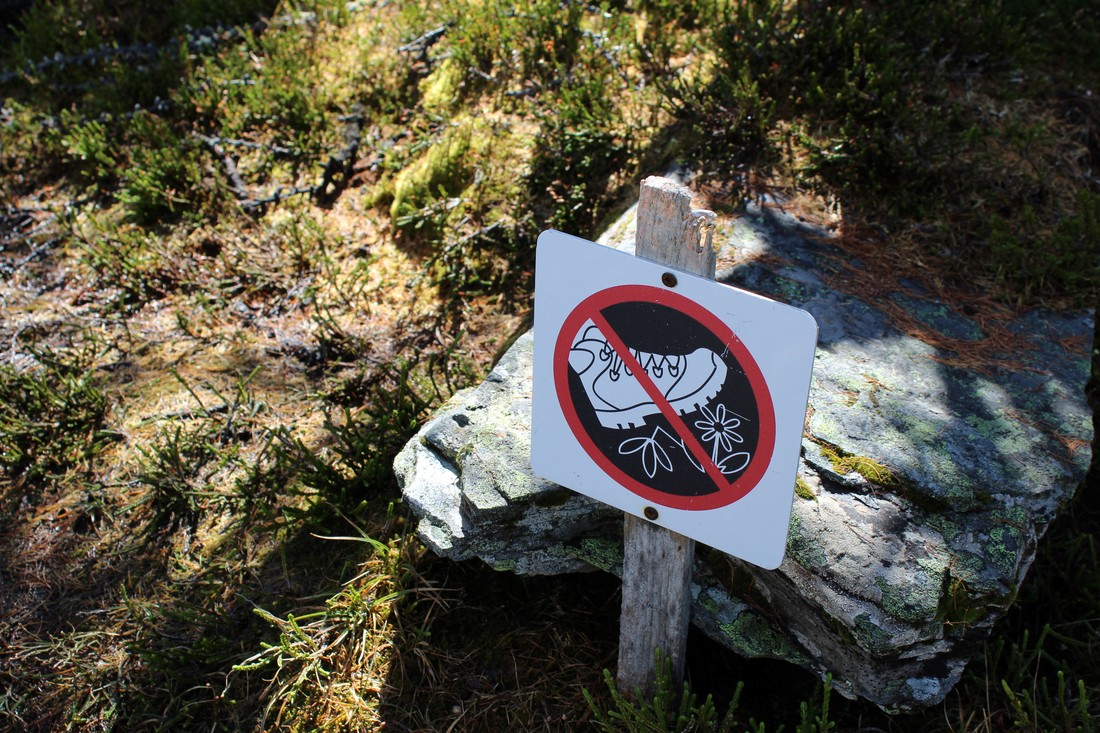
0 Comments
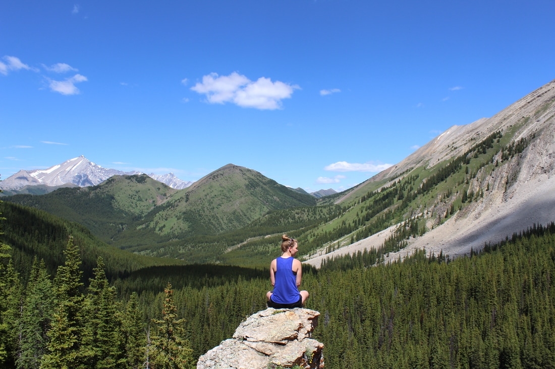
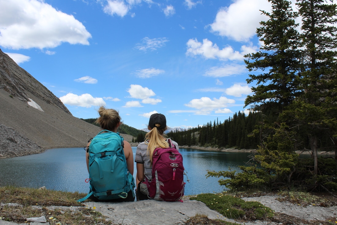
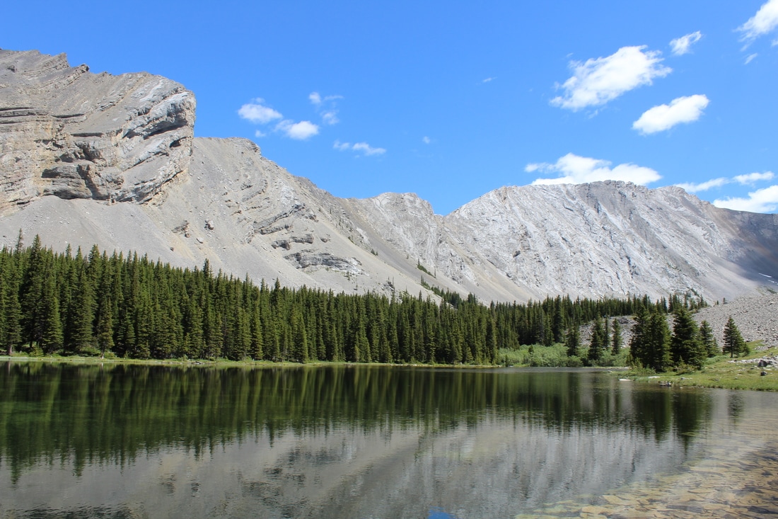
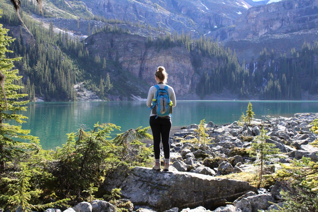
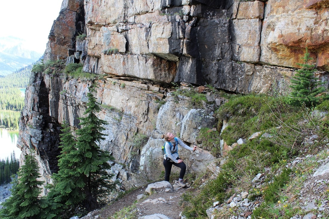
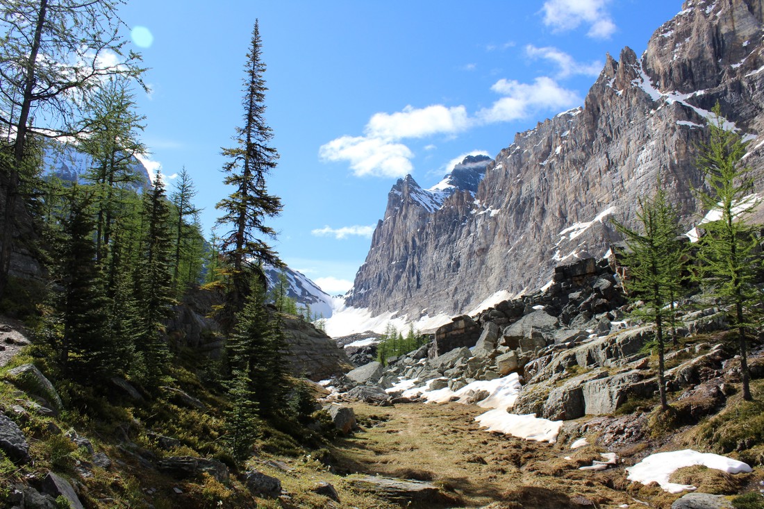
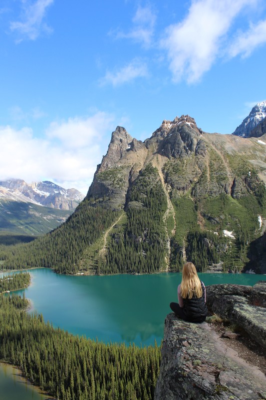
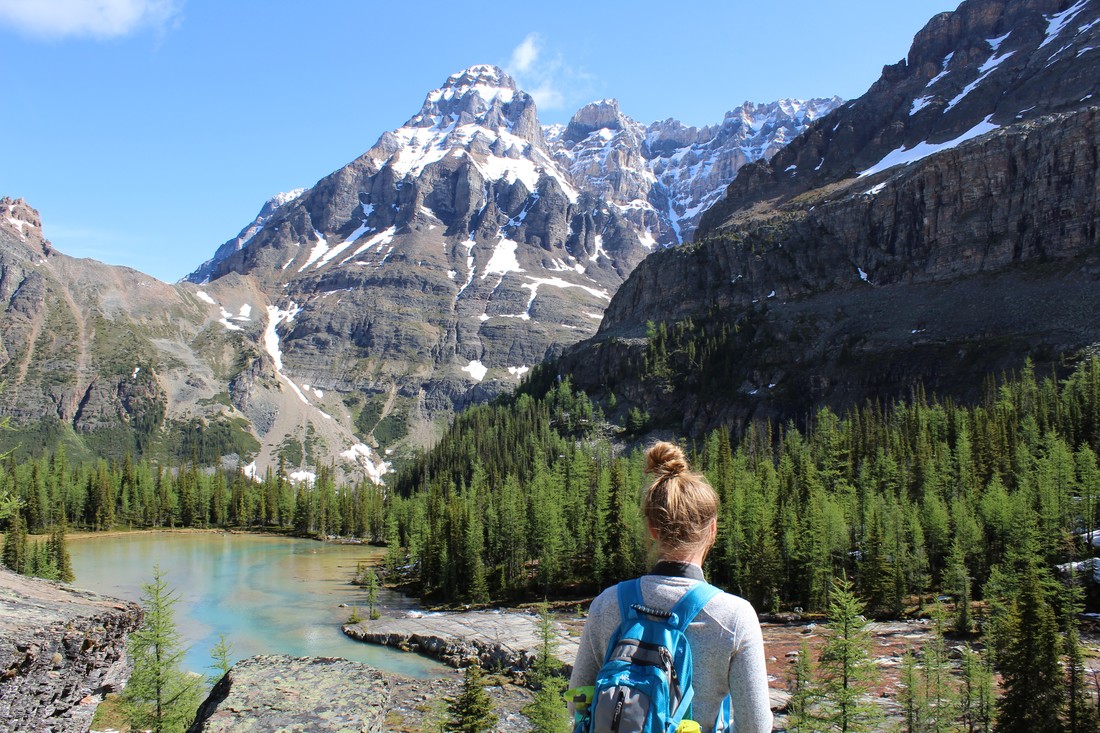
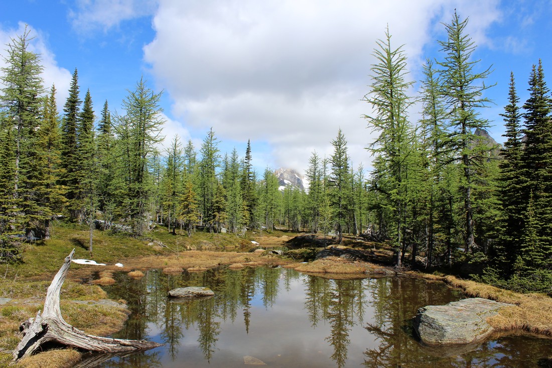
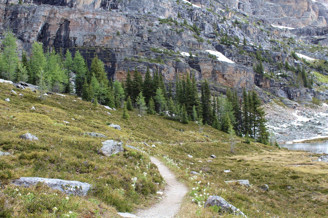
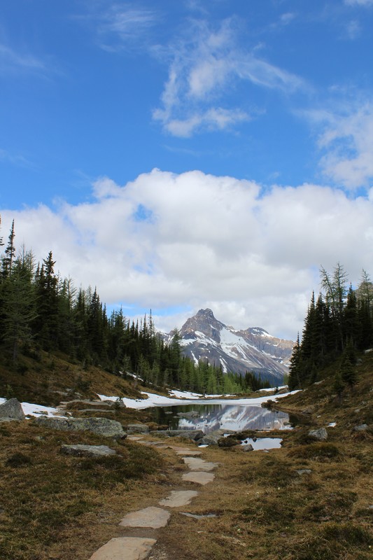
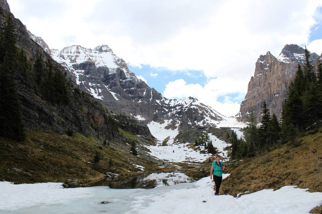
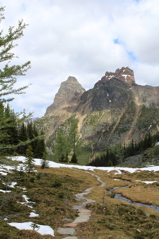
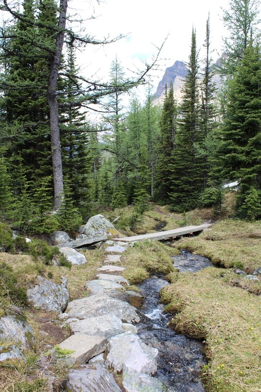
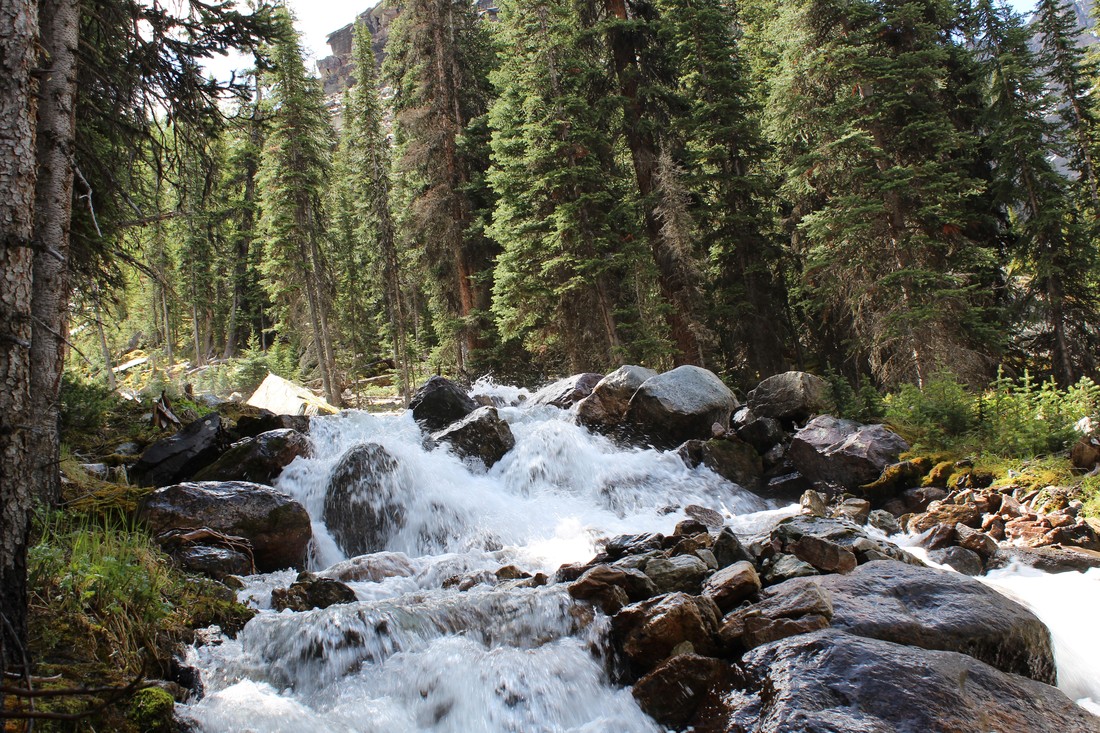
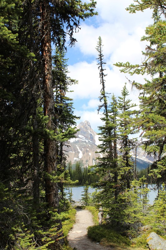
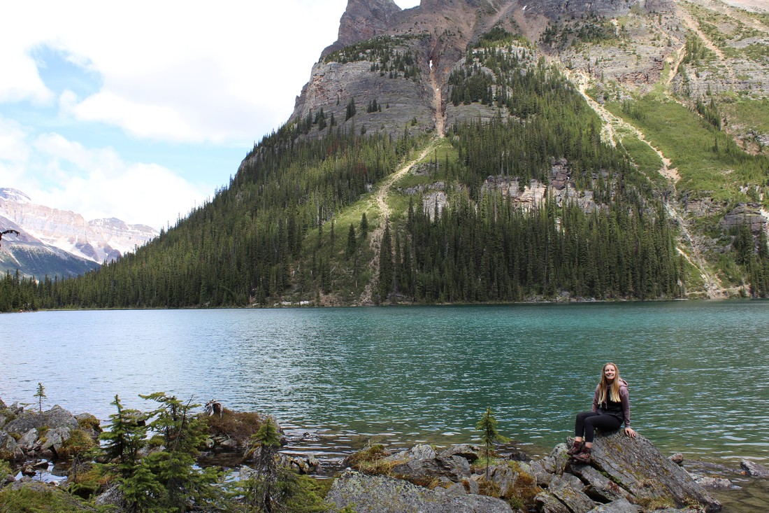
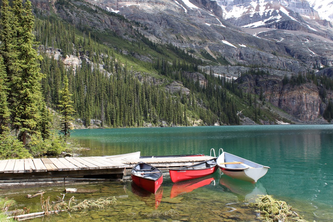
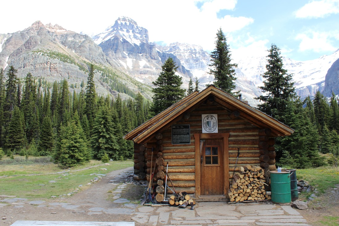
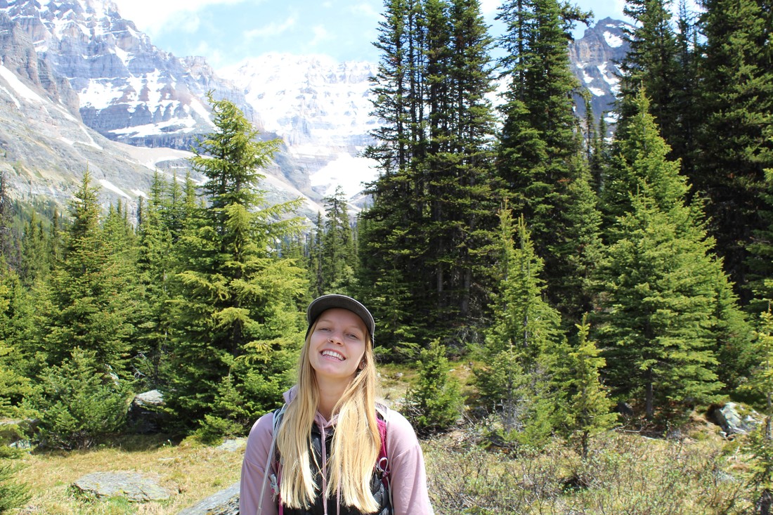
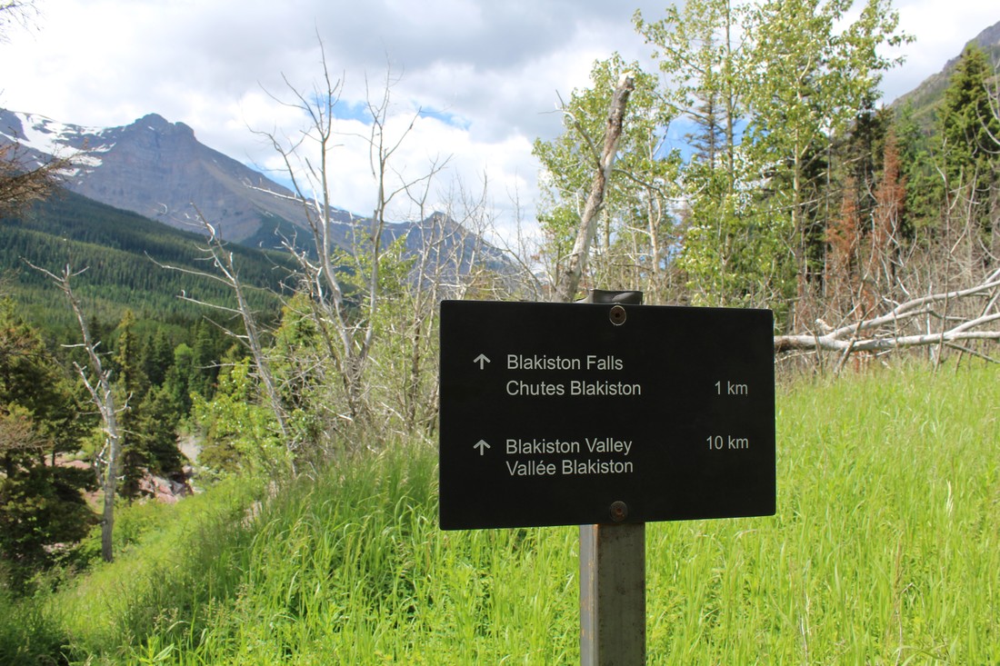
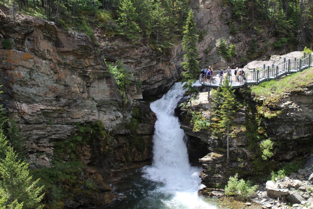
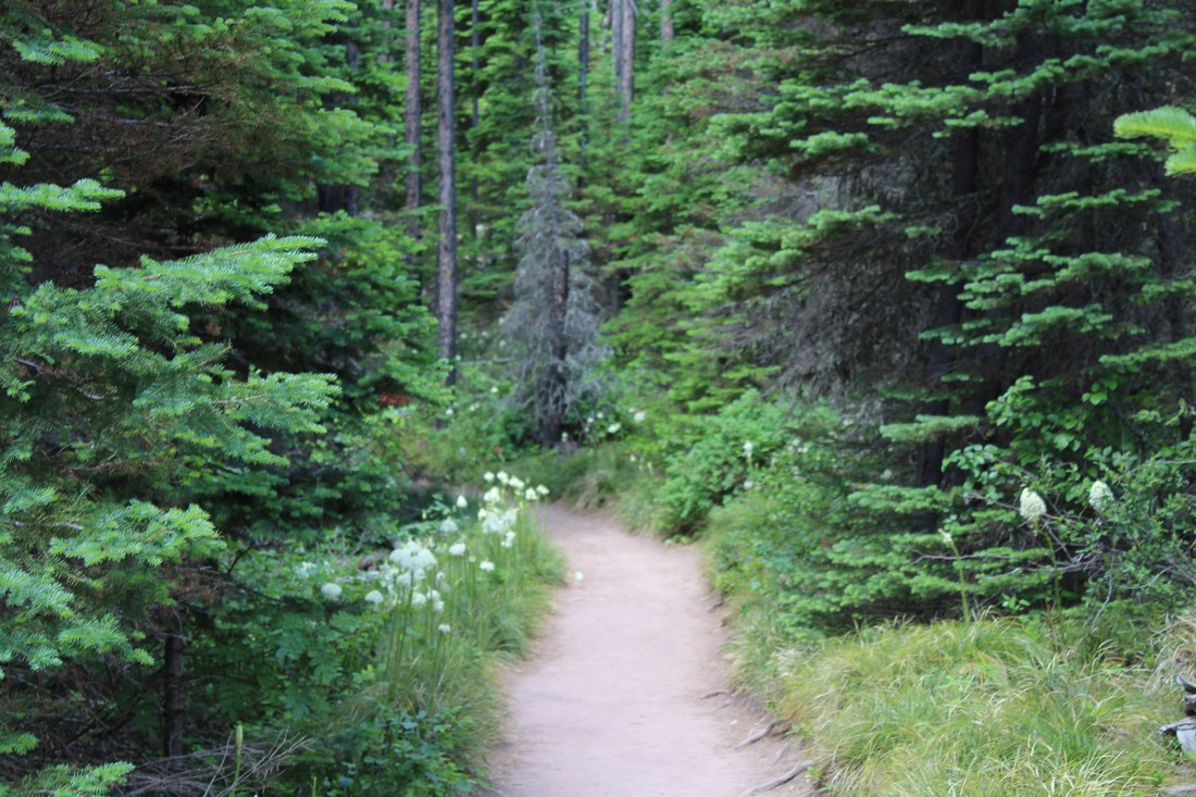
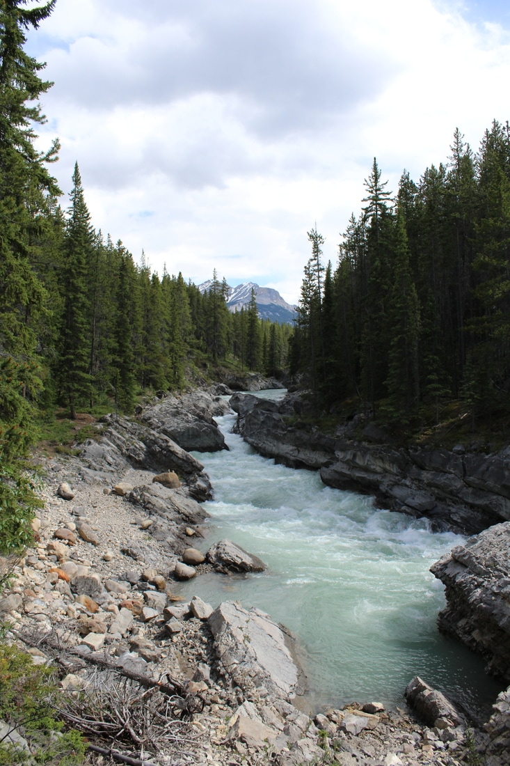
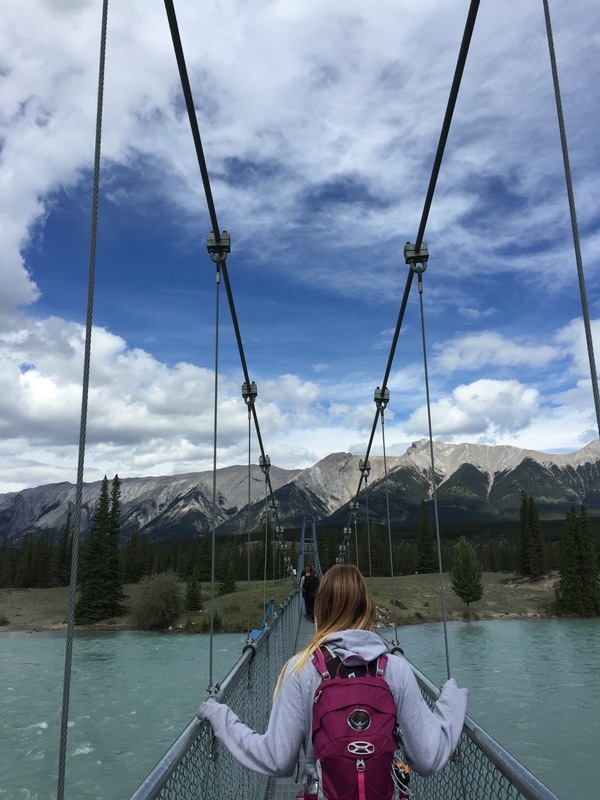
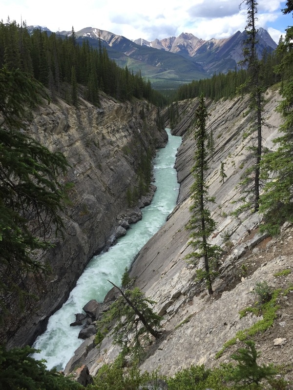
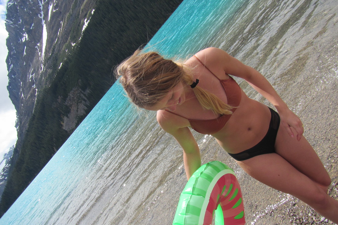
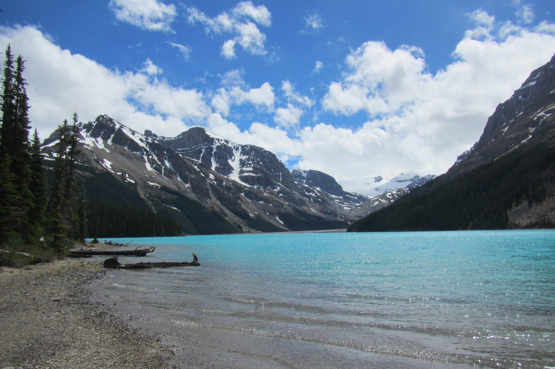
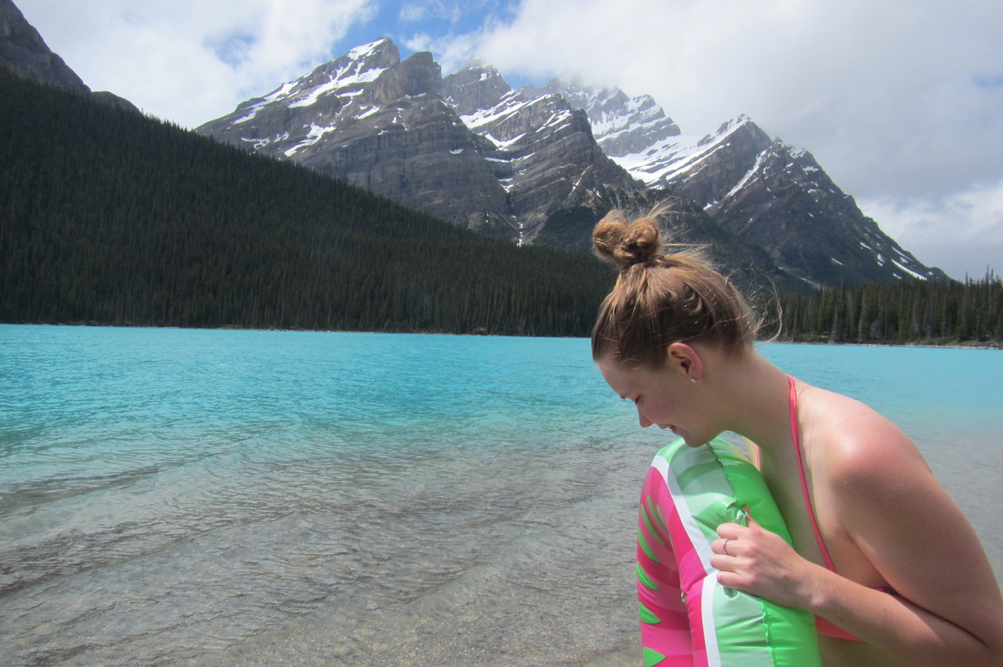
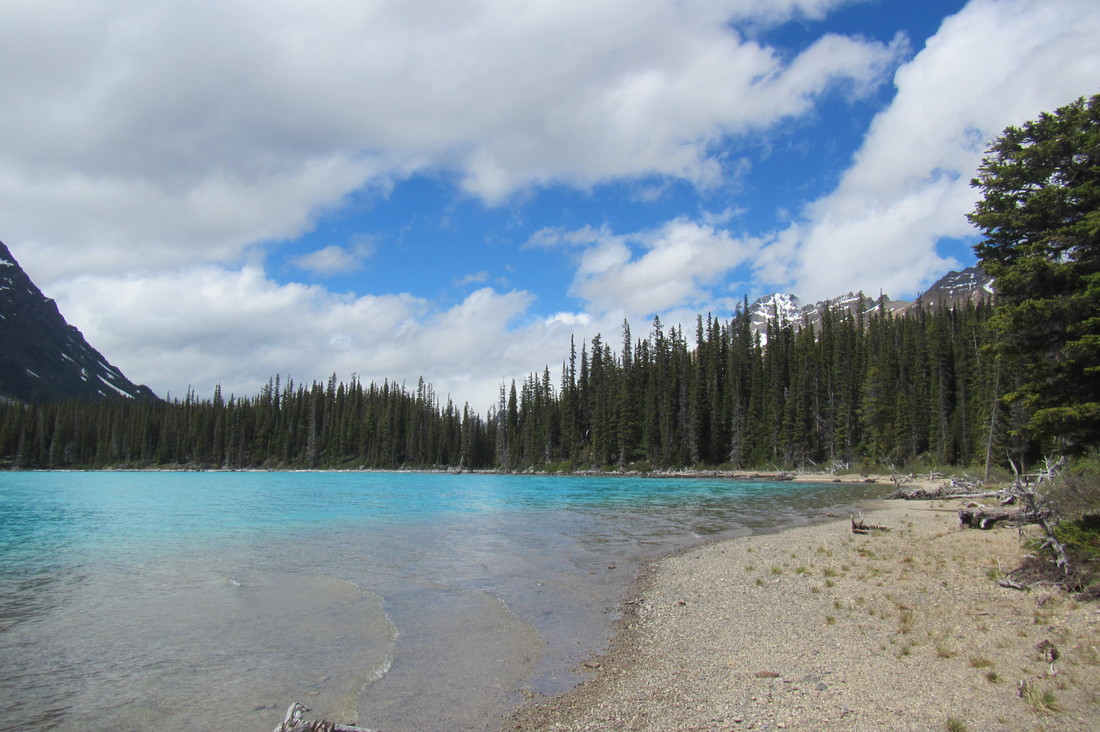
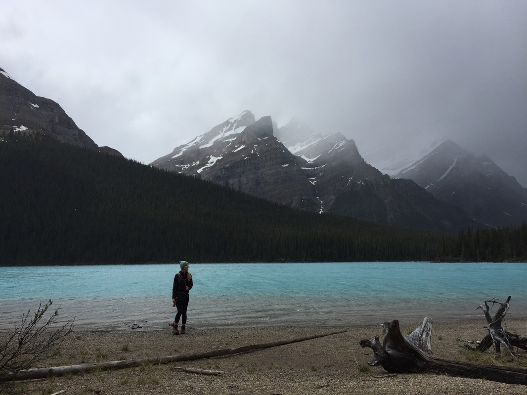
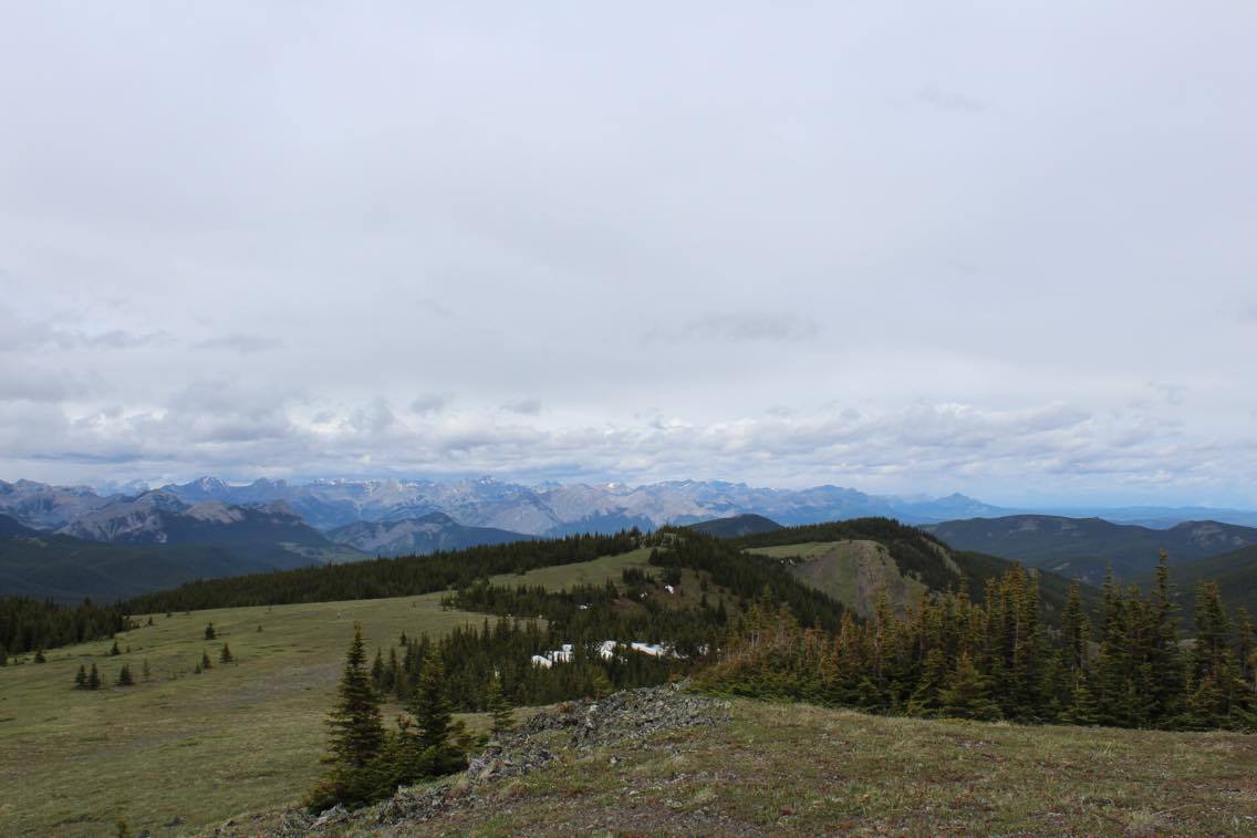
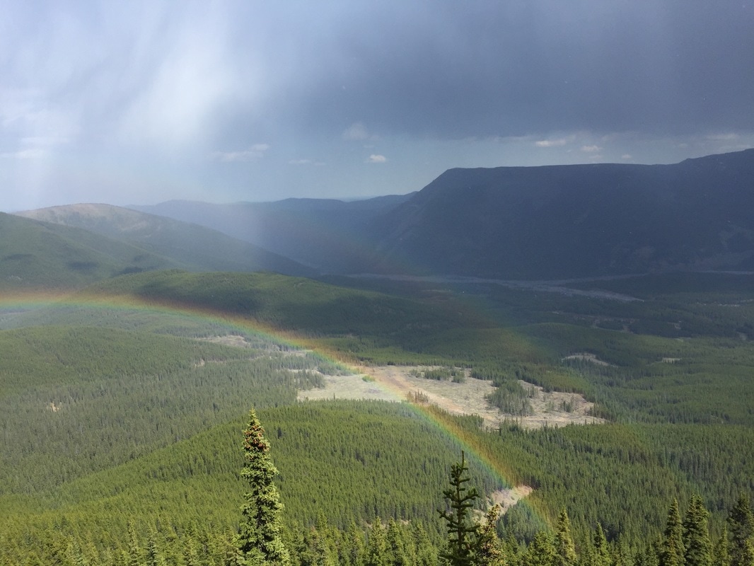
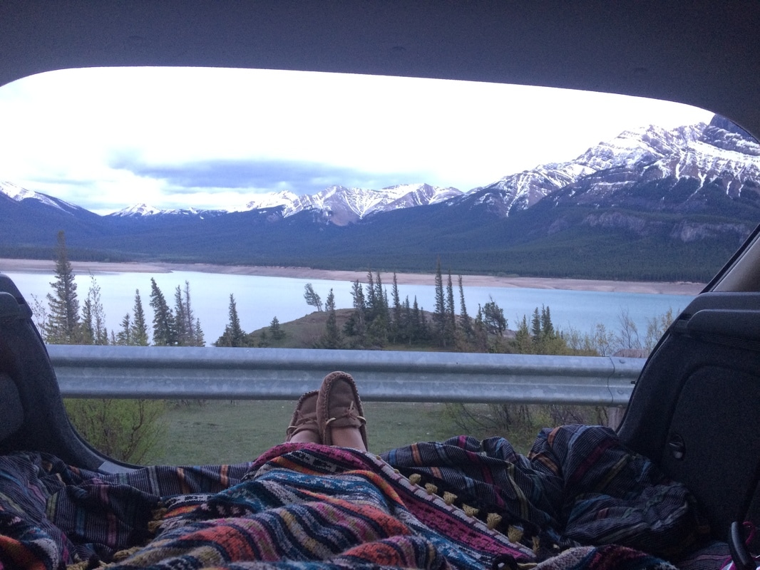
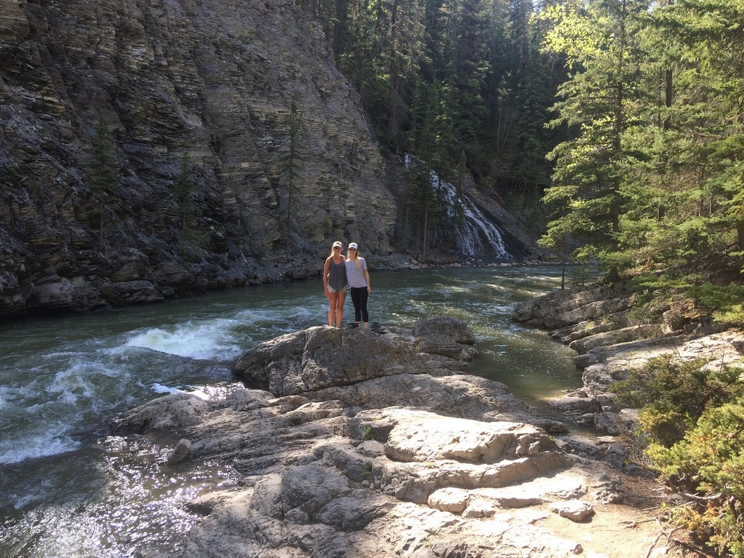
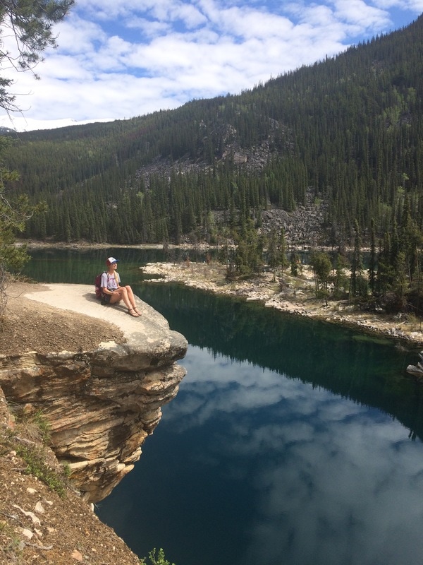
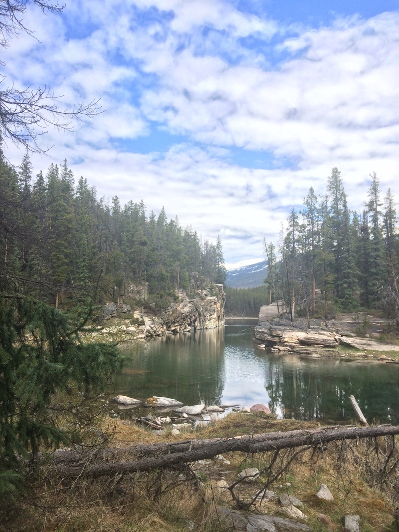
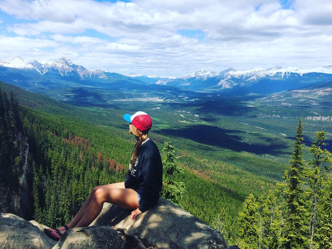
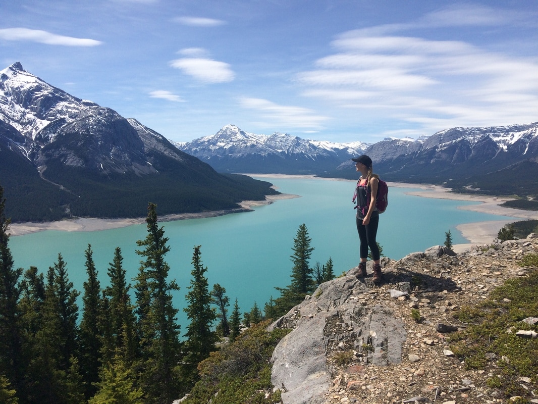
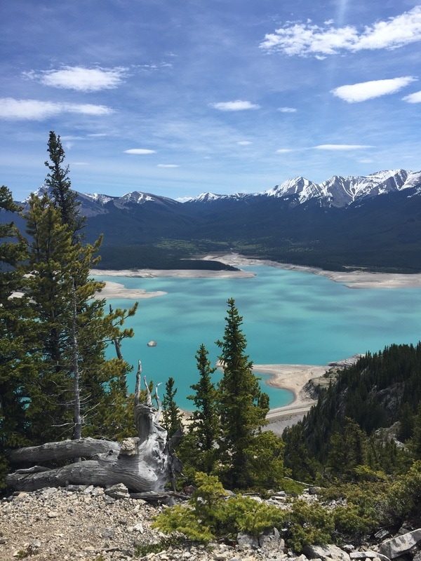
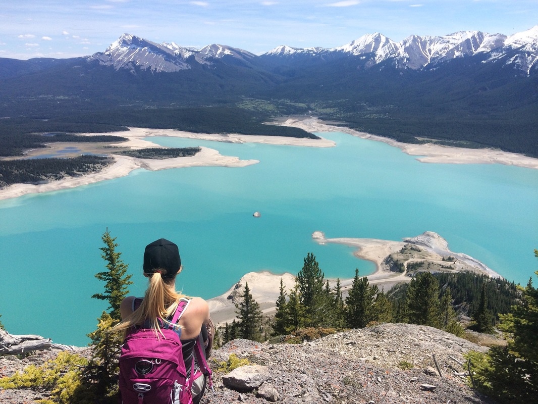
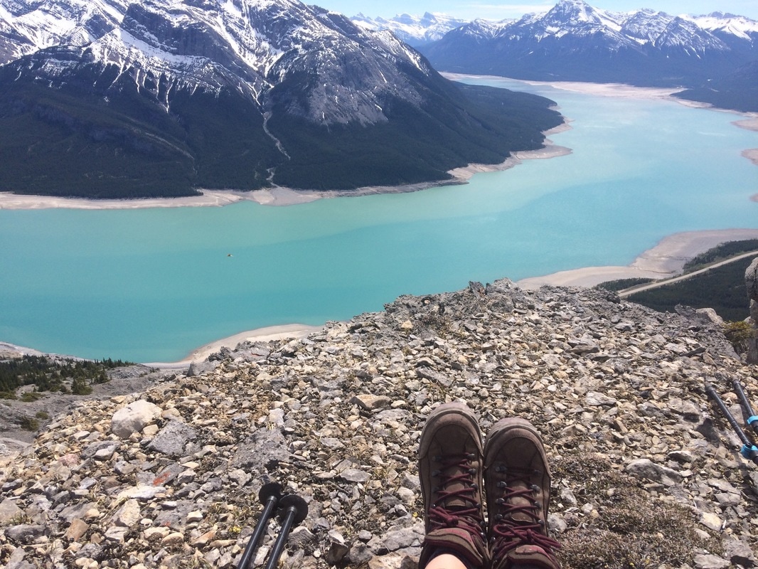
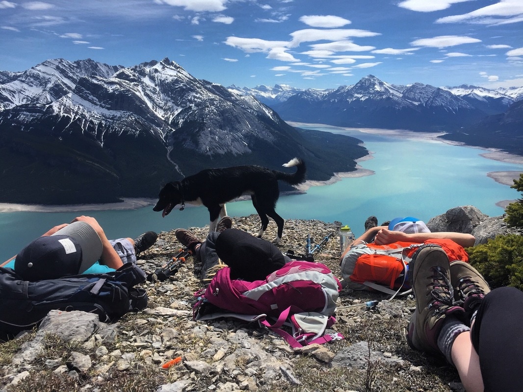
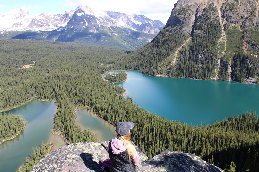 View from the Opabin Prospect A few weeks ago I was leisurely browsing the parks Canada website. To my amazement, I noticed an opening for two bus passes to Lake O’Hara. Without any hesitation, I booked the seats for the bus and started researching where to hike once I got there. Booking the bus usually sells out a minute after they post it to the website, so I am incredibly surprised no one else had snatched these up before me. Emi and I left Calgary bright and early to make it to the Lake O'Hara parking lot by 8:00 am. Our bus was leaving at 8:30 and we wanted to make sure we were on it. The road up to Lake O'Hara is closed to the public. They monitor the amount of guests very closely and that's why it can be a challenge to get a spot on the bus. That being said, you are allowed to hike in, but that will cost you an 11 km hike along the road (one way). We decided to hike the Opabin Circuit, which I believe is one of the more popular hikes off Lake O'Hara. We headed counter clockwise taking the West Opabin trail along Mary Lakes and then up onto a ridge. We then turned left towards the Opabin Prospect. This is the look out in the photo above and it literally took my breath away! It's one thing to see it in a photo, but its an entirely different thing to experience it in person.  From here, we continued our circuit past Cascade Lakes. There were incredible views in every direction. The trail is easy to follow and is very well marked with lots of signage. This is a very fragile alpine environment so all hikers are asked to stay on the trail. Even if its muddy and snowy you are asked to plow right through which lessens the risk of trail erosion. Its extremely important that we protect this environment and therefore the responsibility of all guests to respect these rules. We ventured on past Hungabee Lake and eventually made it all the way to Opabin Lake, which was still quite snowed in. This area is high in the mountains and winter usually lasts quite a bit longer. For this reason, Emi and I had lots of snow and mud to trek through. The views of winter, spring and summer gelled into one and we were granted with amazing views. 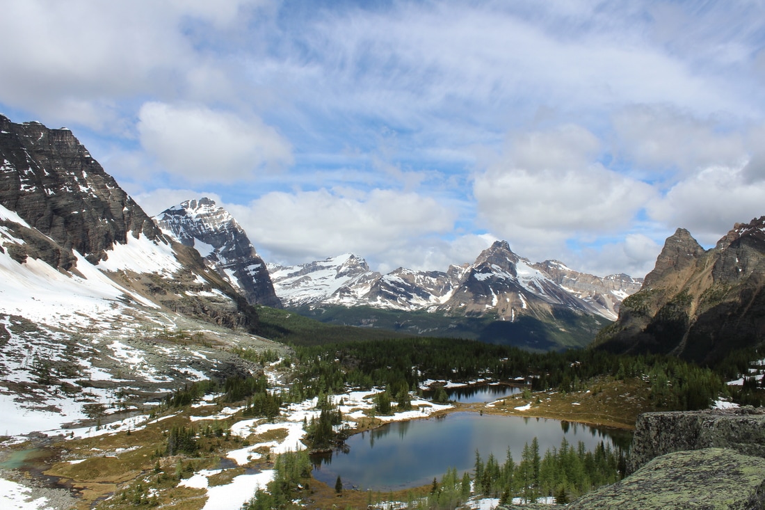 Next up... the trek back down. We ended up taking the trail between Moor Lake and Hungabee Lake to the East Opabin Trail. This trail will take you right back to the shores of Lake O'Hara. Its a beautiful trail that follows the valley until descending into the tree's. Then its a downhill sprint to the lake shore. Emi and I would have loved to take the trail along the Yukness Ledges to Lake Oesa, but that trail was not recommenced due to the amount of snow. If I am ever lucky enough to return,I will definitely be trying that route! Lake O'Hara is known as the Crown Jewel of the Rockies, and after being here in the summer I can see why. I hope you all get the chance to visit this amazing place at least once in your life. If you want more information on Lake O'Hara and how to get there head to the Parks Canada website where they have more info of their lottery system for getting passes. As always, Happy Trails. ELEVATION GAIN: 95 meters DISTANCE: 2 km round trip 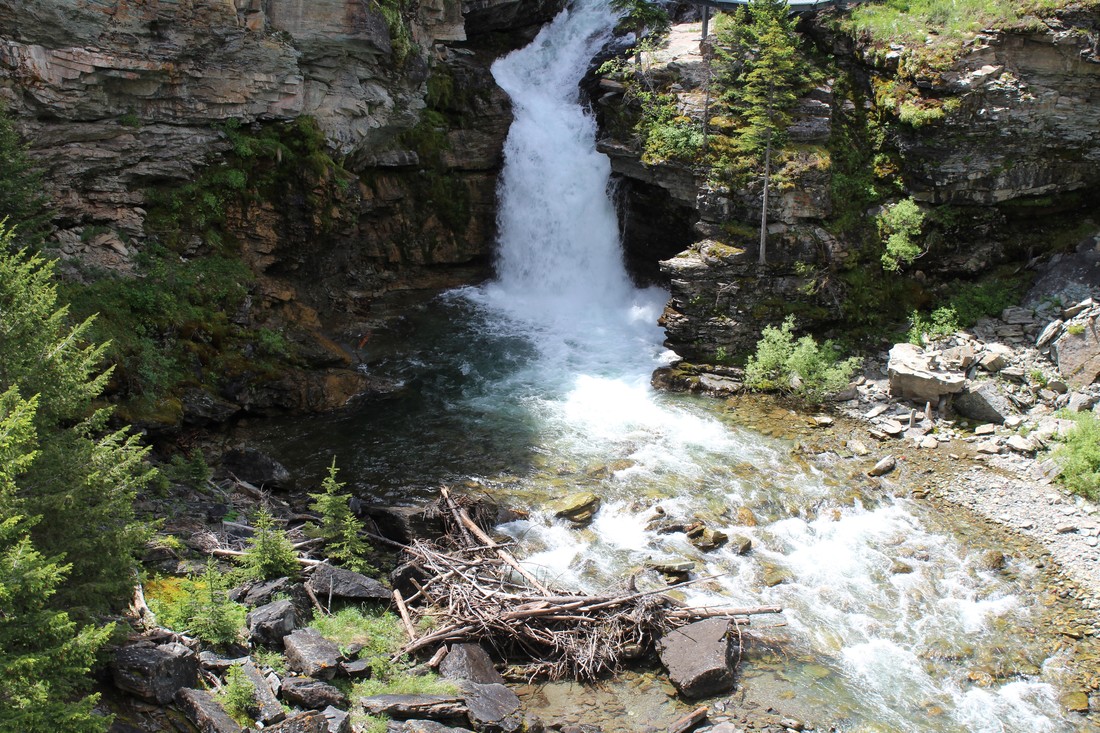 This short 2km round trip hike starts in the far SW corner or the Red Rock Canyon circuit trail. Follow signage, crossing two bridges, and make your way 1 km through a dense forest. Since we visited in June, the trail was lined with tons of bear grass which made the walk even more beautiful. After breaking out of the trees, you will continue on the trail for a short time until you reach two viewing platforms. Here you will get a bird’s eye view of Blakiston creek and the cascading falls. Blakiston Mountain looms in the distance with its high peak (the tallest point in Waterton National Park). ELEVATION GAIN: 150 meters DISTANCE: 8 km round trip 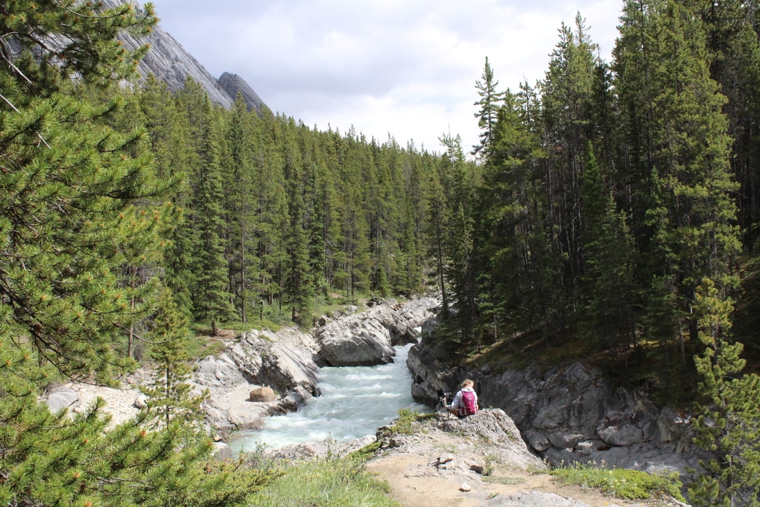 Locate the trailhead approx. 27 km east of the Saskatchewan Crossing or 65 km west of Nordegg. The wide, well defined trail follows the North Saskatchewan River leading to a large pedestrian bridge. After crossing, you will make your way along a large board walk for ½ km. Then, it’s another km of flat ground and one more bridge crossing over the Siffleur River. The trail then starts gaining elevation with a couple of steep sections. Once you get up these, the trail once again flattens out (with the occasional up and down), and leads to viewing platforms. From here you will be granted amazing views of the Siffleur River flowing through a deep canyon. From here you can turn around and head back to the trailhead, or you can follow the trail along the river for more views. We added an extra km onto our hike before coming upon dead fall which obstructed the trail. Overall this is a great hike for beginners as there is not a lot of elevation gain. That being said, the walk back to the trail head can feel a bit long as its mostly flat, straight portions of trail. Happy Trails! 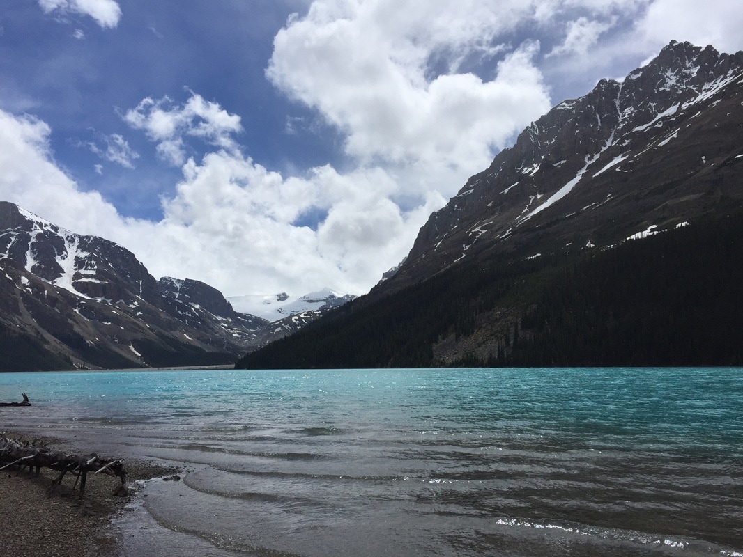 Everyone knows the iconic views of Peyto Lake from above, but have you ever been to the shore? If you go north approximately 2 km’s from the entrance to Peyto Lake (Bow Summit), you will see a small parking lot on the west side of the road. There are a few dirt trails the lead off the parking lot and I believe they all connect to the main trail. The trail heads down into the woods and follows a wide path. Shortly after, the trail makes a sharp left turn into a denser forest. Continue on the well-defined trail crossing a small creek and a small bog area (your shoes may get a little muddy). The trail continues down through the forest and eventually pops out on the beautiful shores of Peyto Lake. We had good intentions of floating on the lake, but soon found out that our floaties were too small and the water too cold! That being said, we made the most of our chilly lakeside adventure and enjoyed the views in every direction. Go back the way you came. This hike is a bit opposite of what most people are used to since you begin the hike by heading down, and end it by hiking up. Happy Trails! ELEVATION GAIN: 350 meters DISTANCE: 5 KM Round Trip 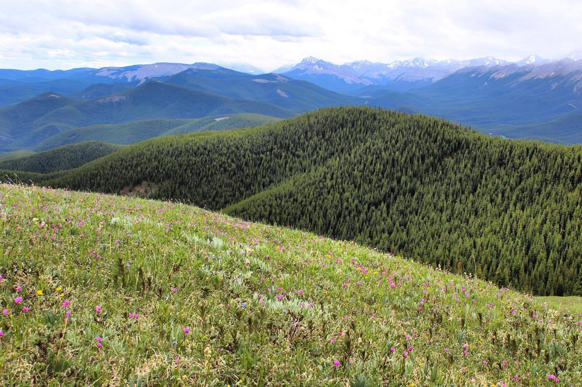 This is a great short hike that will only take about ½ day. Take Hwy. 1 west and take the exit for the Sibbald Creek Trail. Follow this road until you hit the Powderface Trail. (NOTE: this road is closed from December 1 – May 14 annually). Follow this road for approximately 15km’s. Take note that this road is quite narrow and bumpy so it can be a bit slow going. We parked in a small pullout on the west side of the road. The trailhead is marked by a small sign on the opposite side. The hike starts in the trees and crosses a small bridge. It climbs steadily for 2km’s. After that, you will break out of the trees and head left towards the summit. It’s a relatively short climb to the summit (only ½ km) and you will be granted with amazing views in every direction. The hike took us a total of three hours with a break at the top. Note: Watch out for Mountain Bikers. Happy Trails. Elevation Gain: 270 meters DISTANCE: 12 KM Round Trip 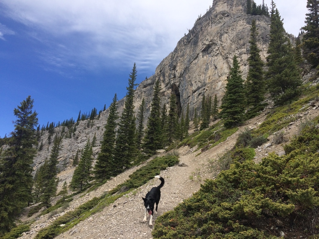 Follow Hwy. 66 until you see the turn off for Ing’s mine. Follow the road straight to the parking lot. Bike along the road for approximately 5 km’s ending with a long hill. On the right hand side of the road you will see a trail heading into the trees. Lock up your bike and begin the hiking portion of the trail. Follow this trail up navigating some scree until you reach the base of the cave (approx. 1 km). Make sure to bring a warm layer and a headlamp as the cave is cool and dark. If you don’t have a bike, be prepared for a long walk in. I would highly recommend biking if you have the gear. It took Wes and I only 20 minutes to bike out. ELEVATION GAIN: 411 meters DISTANCE: 8 km round trip 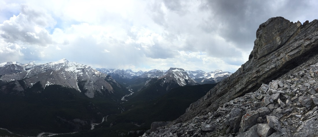 Nihahi Ridge is a wonderful all-terrain hike close to Calgary. The trailhead is located at the Little Elbow parking lot near the end of Hwy. 66. The start of the hike is a bit underwhelming, as you will have to make your way past the outskirts of the Little Elbow Campground along the road, about 1.5 km. There will be a sign with a map on the right side of the road indicating the official start of the trail. Here you will begin your ascent via some switchbacks through the trees. The trail itself is easy to follow and well-marked. After breaking through the trees you will come upon a short flat section followed by a climb along the bottom of the ridge. Watch your footing on the trail as there is loose dirt and rock that you will be climbing. The trail continues up the ridge with amazing views of the Elbow Valley and surrounding peaks. For those who aren’t attempting the summit, take a break and enjoy the views. That’s one of my favorite things about this hike – you can make it as long or short as you want and still have great views. For those going further on to the summit, continue on the trail as it skirts around the right side of the mountain. There is an upper and lower trail on this portion of the hike. They eventually meet up so feel free to take either path. At one point, you will have to climb a small section of rock – using both hands and feet. Then, it’s a matter of tackling the scree and arriving at the summit. Use caution on the ridge as there is lots of loose rock and it can be quite windy (we couldn’t stay on the summit long as a storm rolled in). Retrace your steps on the way down. Overall, this is an awesome, underrated hike that is great for beginners, and those who are a bit more advanced. Hiking poles are recommended, but not essential. Happy Trails! 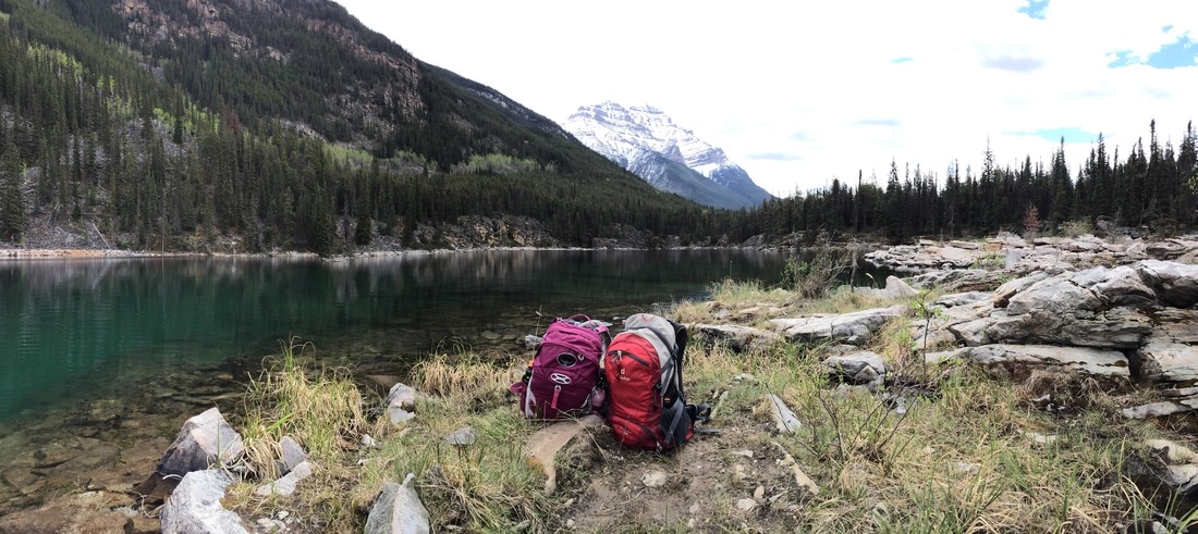 My first mini road trip to Jasper was a success. It’s hard to believe I had never visited this quaint mountain town before. I left Calgary and made my way to Abraham Lake. I parked my car at windy point and had a wonderful sleep in the back of my car (thank goodness for hatchbacks). In the morning, I finished the drive to Jasper and met up with Karya. While touristy, there seemed to be lots of hidden gems to escape the crowds. Karya and I visited Horseshoe Lake, the ‘Edge of the World’, Pyramid Lake and Maligne Canyon. We filled our day with mini adventures and ended the day with a bike ride downtown to get pizza and drinks on a rooftop patio. On Saturday we had a mountain beach day complete with a quick dip in the freezing waters of Annette Lake. Thanks for the awesome weekend Karya and Jill – these two sure know how to adventure! ELEVATION GAIN: 600 (approx) meters DISTANCE: 7 km round trip 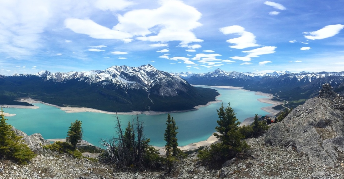 Park at the Windy Point day use area approximately 120 km's west of Rocky Mountain House. The trail head for this hike is found on the north side of the highway, right before the road cuts into a large slab of rock. This hike is tough as it's quite steep. The trail is fairly easy to follow. Keep left to avoid large cliffs on the south side of the mountain. There are a couple of false summits, but don't be discouraged. At the summit you will look back and see the three large humps you successfully climbed. Take in amazing views of Abraham Lake's turquoise waters and the surrounding mountains. On the way down you will find some scree, and sections where you will have to go slow and take your time. I highly recommend using hiking poles! It took us 3.5 hours to reach the summit, although we took quite a few breaks and 2 hours to get down. |